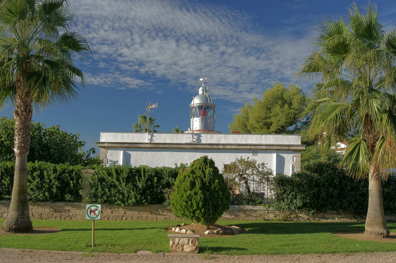

Sant Carles de la Ràpita
Charles III of Spain wanted a great port here - a neoclassical showpiece on the Mediterranean where ships would gather cargo for the colonies across the Atlantic. His planners laid out a grand square for military parades, drew up churches and colonnades and fountains, and began raising a town to match the ambition. Then, in 1788, the king died. The blueprints stopped where they were. More than two centuries later, Sant Carles de la Ràpita is still, in places, a city waiting to be finished.
A King's Unfinished Blueprint
The Bourbon plan is written into the streets. The Plaça de Carles III, set where the main avenues cross, was meant to be the heart of it all - a parade ground worthy of a royal foundation. Nearby stands the Església Nova, the 'New Church,' begun in that same burst of neoclassical confidence and never completed, its clean lines stopping short of the grandeur intended. A canal, a fortified harbor, a colonnade, a viewpoint over the water: each was a piece of a capital-in-waiting. The king's death drained away the money and the will, and the town grew up around the gaps instead. The result is a strange, appealing mix - severe 18th-century geometry threaded through with everything that came after.
Where the Land Runs Out
La Ràpita, as locals call it, sits at the southwestern edge of the Ebro Delta, on the shore of a wide saltwater lagoon called the Port dels Alfacs. Two slender arms of land close that lagoon off from the open sea: the Trabucador isthmus, a ribbon of sand barely wider than the road across it, and beyond it the Banya peninsula, a hook of salt flats and dunes at the delta's very tip. Stand at the town's edge and the geography feels provisional, as if the land were still deciding where to stop. Flamingos wade the shallows. Fishing boats thread the lagoon mouth. Everything here lives at the meeting point of river, sea, and human hand.
Rice, Salt, and the Morning Catch
For all its royal pretensions, la Ràpita earns its living from the water and the flat delta soil. It is one of the region's most important fishing ports, its quays busy with prawns and shellfish hauled from the Alfacs and the sea beyond. The surrounding paddies turn out rice; the coastal pans yield salt. Two large marinas now share the waterfront with the trawlers, and each summer the market, shops, and seafood restaurants fill with visitors. A town of roughly 16,000 has learned to hold both identities at once - working port in the morning, tourist town by the afternoon. It belongs, too, to the Taula del Sénia, a cross-border league of towns around the Sénia river that share dialect and custom across three regions.
The Wind Has the Last Word
Ask anyone here about the weather and they will talk about the wind before the sun. The delta's climate is mild - a yearly average near 17 degrees Celsius, low rainfall, long dry summers - but it is the wind that shapes daily life. Most often it blows dry from the north and northwest, combing the reeds flat and sanding the light to a hard clarity. When it swings around to the east and northeast, locals call it the levante: a wet, heavy air that drives rain onto the coast and pushes seawater up into the lagoons. Sailors read it, farmers plan around it, and the flat horizon hides none of it coming.
A Stop on the Pilgrim's Road
The town also marks a stage on the Ebro Way of St. James, the inland pilgrim route that follows the river upstream toward Zaragoza, Logroño, and eventually Santiago far to the west. Walkers pass through on their way from the sea, adding one more layer to a place already built of layers. A boom of new apartments in the early 2000s stretched the town outward again, but its center still holds the king's old grid - a reminder that la Ràpita has always been a work in progress, and seems content to stay that way.
From the Air
Sant Carles de la Ràpita lies at 40.62 degrees N, 0.59 degrees E, on the southern shore of the Ebro Delta. From 3,000-6,000 feet the layout is unmistakable: the near-enclosed Port dels Alfacs lagoon, the thin pale line of the Trabucador isthmus running out to the Banya salt flats, and the town's grid pressed against the water. The delta's farmland spreads green-and-silver to the north. Reus (LERS) is about 100 km northeast and Valencia (LEVC) down the coast to the southwest, with Castellon-Costa Azahar (LECN) also to the south. Expect strong, persistent northwesterly winds and excellent visibility on dry days; an easterly levante brings low cloud and rain onto the coast.
Nearby Stories
- Benicarló 8.9 km away
- Miravet 11 km away
- Morella 12 km away
- Reus 23 km away
- Penyagolosa 37 km away
- Roman Theatre (Tarraco) 49 km away
- Battle of Belchite (1937) 74 km away
- Banyalbufar 149 km away