Serra do Conduru State Park
In 1993, a botanist counted 456 tree species in a single hectare of Serra do Conduru. That number — 456 species, still among the highest tree diversity counts ever recorded on Earth — helped spark the campaign to make this patch of Atlantic Forest a state park. Four years later, the park existed on paper. Twenty years later, it still existed on the ground, which is not a given in rural Bahia. Today Serra do Conduru covers 9,275 hectares spread across three municipalities - Uruçuca, Itacaré, and Ilhéus - and protects dense submontane rainforest that, when researchers looked closely, turned out to share 72 percent of its tree species with the Amazon, 2,500 kilometers to the northwest.
A Forest Coming Back
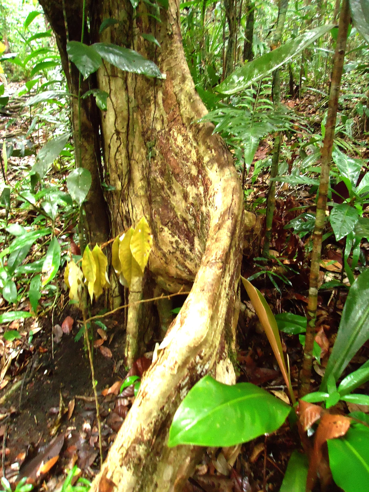
Serra do Conduru is recovering. Most of its forest is in some stage of succession, regrowing from the cocoa farms, sawmills, and cattle pasture that were here before the park existed. Walk a trail and the variation is visible - a cleared hillside in early regrowth, shrub-dense and sun-bright, gives way around a ridge to mature forest 40 meters tall, the canopy closed, ferns and orchids and bromeliads and cactuses layered on every trunk. The wetlands that escaped clearing - and there are some - hold fig trees and palm groves older than the park. Thirty rivers and streams rise within the boundary. The climate is super-humid tropical: 23°C annual average, rainfall enough to keep the forest evergreen.
Who Is In the Understory
Serra do Conduru is one of the last refuges of the golden-headed lion tamarin, whose entire world range is this patch of southern Bahian coast. Golden-bellied capuchins move through the canopy. Cougars and ocelots hunt the ridges - the park is one of the few places in eastern Brazil where both big cats are still confirmed present. The coastal black-handed titi is here, as are 175 bird species, 27 of them endemic and six globally threatened. Among them is the red-billed curassow (Crax blumenbachii), a large ground-dwelling bird that was hunted to near-extinction in the twentieth century and now persists in only a handful of Atlantic Forest reserves. Amphibian researchers have recorded at least 45 endemic species here - frogs like Hylomantis áspera and Cycloramphus migueli, animals whose entire known range is a few valleys in this park.
The Long Fight for the Paperwork
The push to protect Serra do Conduru began in 1993. Conservation International Brazil, the SOS Mata Atlântica Foundation, and the Bahian IESB institute ran the campaign through the 1990s. The park was formally created by state decree 6.227 on 21 February 1997. The next year, the BA-001 highway from Ilhéus to Itacaré opened, which sounds like bad news for a forest - new road access usually means new pressure - but in this case it forced the sawmills of southern Bahia to close, or at least to stop processing the ancient trees they had been illegally logging. In 2003, a second decree expanded the park. By 2011, the state had title to 51 percent of the land inside the boundary - the rest was still tangled in land-tenure disputes, a slow and unglamorous conservation process that depends on paperwork and political will. Threats remain: illegal logging, poaching, delays in registration. But the forest is still here. Mountain biking, trekking, and ecotourism have become part of the local economy. The trees are still standing, and some of them are growing back.
From the Air
Serra do Conduru is in southern Bahia at 14.49°S, 39.10°W, covering about 93 square kilometers of rugged coastal range between Ilhéus and Itacaré. The park includes Lagoa Encantada, the village of Serra Grande, and a mountainous stretch of the BA-001 highway. Terrain rises from near sea level to several hundred meters. Nearest airport is Ilhéus Jorge Amado (SBIL) about 30 km south. Super-humid tropical climate keeps cloud cover common; orographic buildups above the ridges are typical in the afternoon. The ocean is visible to the east from higher elevations, a useful navigation reference.
Nearby Stories
- Itabuna 9 km away
- Boipeba 75 km away
- Vitória da Conquista 120 km away
- Battle of 4 May 126 km away
- 2019 Northeast Brazil Oil Spill 162 km away
- Sincura 201 km away
- Brumado 211 km away
- SS Principessa Mafalda 260 km away