
Sha Tau Kok
A Qing dynasty poem is carved in red characters on a stone tablet at the easternmost point of Sha Tau Kok: 'The sun rises from the beach, the moon hangs above the cape.' The beach is Sha Tau; the cape is Kok. The poem, written by officials inspecting the area centuries ago, gave this border town its name. It is an unusually poetic origin for a place with such a complicated modern history — a town divided by an international boundary, controlled by permit systems, shaped by the push and pull of two governments, two economies, and two legal systems operating within sight of each other across a single street.
The Town the Great Clearance Made
Sha Tau Kok's founding population did not choose this location freely. The Qing dynasty's 'Great Clearance' of the 17th century forced most of the original inhabitants of Hong Kong's coastal areas to relocate inland, emptying villages and breaking ancestral connections to the land. Into this depopulated shoreline came the first Hakka settlers, establishing communities along the northern edge of Mirs Bay. More Hakka villages followed in the 18th century. The Hoklo people arrived to work the salt fields and pearl beds that had drawn imperial attention since the fifth century. By the 1850s there were approximately 50 shops on the Sha Tau Kok shoreline. By 1911, the district's population had reached 8,570, speaking Hakka at home in 95.5 percent of households. The descendants of those settlers — farmers and fishermen, Hakka and Hoklo — are still here, in Sha Tau Kok Chuen public housing estate and the surrounding villages, returning for festivals and the deity-thanking ceremony at the Tin Hau temple in Yim Liu Ha.
The Street That Became a Border
When Britain and the Qing dynasty formalised the lease of the New Territories in 1898, the boundary line through Sha Tau Kok followed the course of existing streets and market divisions in ways that immediately created practical difficulties. Tung Wo Market was excluded from the lease, cutting some shopkeepers off from their ancestral villages. On 19 April 1899, the elders of Shap Yeuk petitioned the district magistrate not to proceed, fearing that life in British territory with a market in Chinese territory would be unworkable. Their petition was unsuccessful. Over the following century, the line hardened into what it is today: a border wall along most of the Sha Tau Kok–Shatoujiao boundary, with a single unwalled section on Chung Ying Street. The street's name means 'Chinese-British Street,' and it was once a shopping destination for mainland Chinese visitors seeking goods unavailable at home. It also became, less officially, a significant point of smuggling: meat, counterfeit goods, pirated music, and protected wildlife including pangolins, owls, and eagles have all been seized here over the years.
Violence at the Checkpoint
On 8 July 1967, during the 1967 Hong Kong riots, several hundred demonstrators from mainland China — including members of the People's Militia — crossed the border at Sha Tau Kok and attacked the police post. Police responded with tear gas and wooden bullets. Then automatic fire opened from the Chinese side of the border, and the situation escalated into an exchange of gunfire. Five Hong Kong police officers were killed and eleven were injured before a battalion of the British garrison arrived and the shooting stopped. The event was one of the most serious incidents of the 1967 disturbances — the period of leftist unrest that destabilised Hong Kong for months — and it remains part of the town's history, marked today in the Sha Tau Kok Anti-Japanese War Memorial Hall, which was adapted after 1941 as a site of historical memory and, in more recent years, patriotic education.
Permits, Quotas, and Careful Opening
For most of the postwar period, Sha Tau Kok was inaccessible to anyone without a Frontier Closed Area permit. The town was a closed zone: a police checkpoint at the entrance turned away visitors lacking documentation. This changed incrementally. In 2022, the Hong Kong government announced a pilot scheme opening limited parts of the town to tourists. By the time the scheme expanded, a daily quota applied: up to 2,300 individual visitors and 700 group visitors on weekends and public holidays, arriving by public transport with a Tourism Closed Area Permit. Chung Ying Street itself remains off limits for most visitors. Some residents have welcomed the opening; others have worried about the effect on a community that has maintained its particular character precisely through isolation. The population recorded in the 2021 census was 4,056 — a median age of 46.7 years, a median monthly household income of HK$27,650, and a community whose younger generations have largely moved to urban Hong Kong or overseas.
Layers Beneath the Surface
The ground here has been occupied for a very long time. Stone tools — hammers, pounders, axes, adzes — dating to the Neolithic period were excavated at San Tsuen in 2001. Pottery from the Han dynasty was also recovered from the same site. Sha Tau Kok had a branch railway line by 1912, with three stops linking it to Fanling; the line closed in 1928 after a road was completed, and the area around the old terminus is still known locally as 'train station terminus.' Alan Yau, the restaurateur who later created Hakkasan and Yauatcha in London, was born here and left at 12. The town's public housing estate — Sha Tau Kok Chuen, 52 low-rise blocks completed in phases between 1988 and 1991 — is, by block count, the largest public housing estate in Hong Kong. None of this registers from the outside. Sha Tau Kok looks, to a visitor with the right permit, like a quiet town at the edge of a large city. Which is almost accurate, and not quite.
From the Air
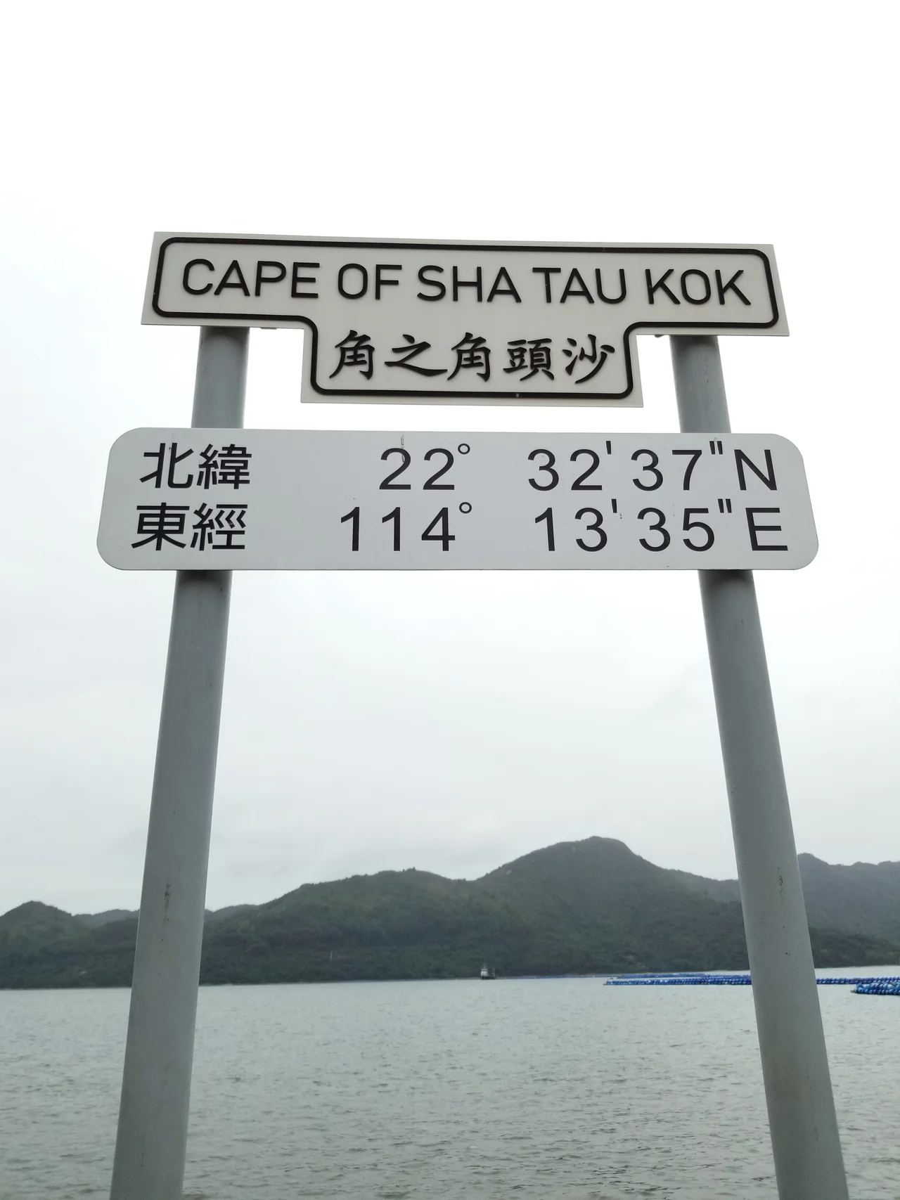
Sha Tau Kok sits at 22.546°N, 114.224°E on the northern shoreline of Starling Inlet, 10 km northeast of Fanling in Hong Kong's North District. From the air the town is recognisable as a low-density residential cluster at the water's edge, with the distinctive border infrastructure visible along its northern boundary and the green terrain of Plover Cove Country Park extending to the east and south. The Shenzhen urban area is immediately visible to the north across the fenceline. Mirs Bay opens broadly to the east. Hong Kong International Airport (VHHH) is approximately 60 km to the southwest. At low altitude approaching from the south, the contrast between the developed Shenzhen side and the semi-rural Hong Kong side of the border is clearly visible, making the boundary physically legible in a way that few international borders are.
Nearby Stories
- Hong Kong Disneyland 4.1 km away
- Mount Guanyin (Dongguan) 7 km away
- 2024 Lixinsha Bridge Collapse 7.4 km away
- Portas do Cerco 12 km away
- Lotus Hill 15 km away
- Nanxiong Formation 78 km away
- Heyuan 130 km away
- Checheng Fu'an Temple 629 km away