Shihmen Dam
The phrase "the Shihmen Reservoir is releasing flood water" has become, in Taiwan, a euphemism for "your fly is open." It is a joke born of familiarity -- Shihmen's spillway opens so often that the image has lodged itself in the national consciousness. But behind the humor lies a serious story of ambition, transformation, and an engineering marvel slowly losing the fight against nature.
A Plateau Thirsting for Water
The Taoyuan Plateau has never had a reliable water source of its own. Since 1680, farmers dug thousands of artificial ponds to capture rainfall, cobbling together an irrigation system from sheer persistence. When the Japanese colonial government built the Taoyuan Canal in 1928, diverting water from the Dahan River onto the plateau, it opened 20,000 hectares of new farmland. But the region's ambitions outpaced what a single canal could deliver. After World War II, the young Republic of China government saw the Dahan as the key to economic self-sufficiency. In 1955, backed by low-interest loans from the U.S. Agency for International Development covering roughly half the NT$1.4 billion budget, construction began on what would become Taiwan's first multi-purpose water project.
Morrison-Knudsen Builds a Mountain
The American firm Morrison-Knudsen, which had helped build Hoover Dam, oversaw construction of the 133-meter-high rockfill embankment. Typhoons interrupted work repeatedly, but by December 1960 the river had been diverted through a tunnel and a concrete cofferdam -- notably the first use of roller-compacted concrete in dam construction -- took shape as the dam's core. The human cost was significant: 416 families, roughly 2,000 people, were relocated from the Dahan River valley to Taiwan's northwest coast. The government built new homes, schools, and infrastructure, but the resettlement program remained bitterly controversial. On June 14, 1964, Vice President Chen Cheng dedicated the dam before a crowd of more than four thousand. As the reservoir filled, it swallowed historic landmarks beneath its rising waters, including a summer villa of Chiang Kai-shek and the Amuping Stone Bridge.
Doubling the Harvest
The dam's primary mission was irrigation, and it delivered. Some 22,000 hectares of new farmland came into production, bringing the total to 57,000 hectares. Year-round water releases enabled additional rice harvests, more than doubling Taoyuan's annual agricultural output and raising individual farmers' income by nearly 20 percent. A network of 175 kilometers of canals funneled water across the plateau, while a treatment plant with 30,000-ton daily capacity supplied municipal drinking water. The reservoir also powers two generators producing roughly 200 million kilowatt-hours annually, critical for meeting northern Taiwan's peak electricity demand. Yet the project's capital cost was so high that its actual return on investment was just 1.5 percent -- an "engineering monument," one assessment concluded, "purchased at far too high a cost."
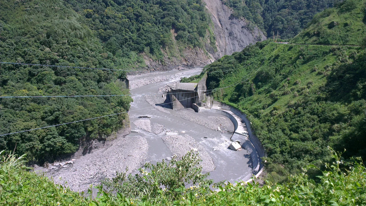
The River Fights Back
Sedimentation has been Shihmen's defining challenge. Deforestation, road construction, and agriculture in the steep watershed send an estimated 2.9 million tonnes of sediment into the reservoir each year. Capacity has dropped by more than a third, erasing 23 years from the dam's expected lifespan. The upper Dahan is now among Taiwan's most heavily impounded river systems, with at least 123 sediment-trapping dams along the main stem alone -- yet only one still collects sediment, and it is nearly full. Seven dredging companies removed over 10 million cubic meters starting in 1985, but the reservoir filled faster than they could dig. During the dry season, demand often exceeds stored water, and in 1994 the service area endured one day of running water in three. High turbidity during floods can spike to 3,000 times the average, forcing authorities to shut down water supplies entirely.
A Monument Still Standing
More than 160,000 tourists visit Shihmen each year, many timing their trips to watch the spectacular floodwater releases. The reservoir remains one of Taiwan's most visited scenic spots, a place where engineering meets landscape on a dramatic scale. Today Shihmen supplies water for over three million people in northern Taiwan, but the tension between what the dam was built to do and what nature permits it to do grows sharper with every typhoon season. Proposals to divert sediment-heavy river water around the reservoir during storms -- technology already used in Japan and Switzerland -- offer hope, but the fundamental problem remains: the mountains are dissolving into the lake, one rainstorm at a time.
From the Air
Coordinates: 24.81N, 121.24E. The dam and reservoir are clearly visible from altitude in the Dahan River valley south of Taoyuan. Look for the distinctive rockfill embankment and the wide reservoir stretching upstream into the mountains. Nearby airports: RCTP (Taoyuan International Airport, ~25 km northeast). Best viewed at 3,000-5,000 feet for the full reservoir extent. The spillway and afterbay are visible landmarks on the eastern side of the dam.
Nearby Stories
- Former Residence of Chang Hsueh-liang (Hsinchu County) 3.8 km away
- Dawulun Fort 7.3 km away
- Cherry Orchard Cemetery 8.4 km away
- 2022 Chinese Military Exercises Around Taiwan 17 km away
- Suao 21 km away
- 2015 New Taipei Water Park Fire 28 km away
- Gaomei Lighthouse 33 km away
- Gaomei Wetlands 63 km away