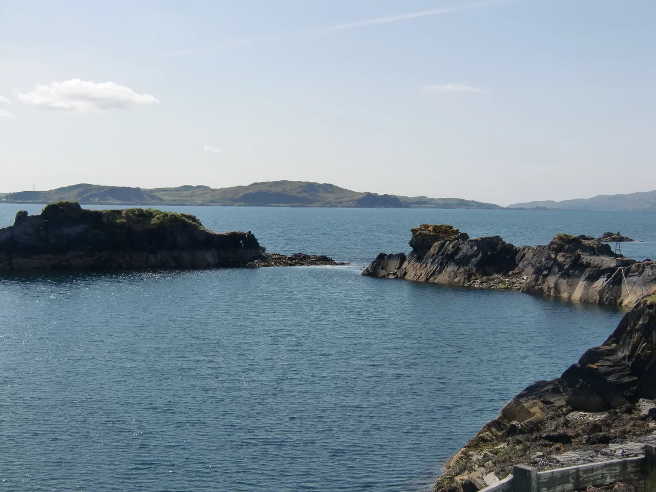

Slate Islands, Scotland
At their nineteenth-century peak, the Slate Islands quarried nine million roofing slates a year. They sat on the Atlantic edge of Scotland, north of Jura and southwest of Oban: a low cluster of Dalradian slate exposed on Seil, Easdale, Luing, and Belnahua. The slate from these islands roofed buildings across Britain, in Nova Scotia, the West Indies, the United States, Norway, and New Zealand. Then, on the morning of 22 November 1881, a south-westerly gale and an exceptionally high tide broke a sea wall on the tiny island of Eilean-a-beithich, the quarries flooded, and the industry began to die.
An Archipelago Defined by Its Rock
Unlike Orkney or the Outer Hebrides, the Slate Islands have no formal definition. They are an idea more than a place. The four islands that gave the group its name - the islands actually quarried for commercial slate - are Easdale, Belnahua, Luing, and Seil. Most lists also include Shuna and Torsa, which lie close by and were inhabited until the mid-twentieth century. Some sources stretch the definition to take in Lunga and Eilean Dubh Mor to the west, but these are geologically different: quartzite and Scarba conglomerate, not slate. The underlying rock is Neoproterozoic Easdale Slate Formation, a pyritic, graphitic pelite that splits cleanly along its grain - the property that made it valuable enough to remove most of an entire island.
The Bridge Over the Atlantic
In 1792-93 the engineer Robert Mylne built a humpbacked stone bridge across the narrow channel between Seil and the mainland. The channel is technically a sound of the Atlantic Ocean - briefly, narrowly, and not very impressively at low tide - and so the bridge has been known ever since as the Bridge Over the Atlantic. It is a strange honour for a fifty-foot stone arch, but it is a real one. The bridge made Seil the only one of the Slate Islands directly walkable from mainland Scotland. From Seil's western village of Ellenabeich a small ferry crosses to Easdale; from Cuan in the south, another runs to Luing across the Cuan Sound. The Easdale ferry still uses a chain-and-cog system designed by John Whyte in the mid-nineteenth century.
Five Million Slates a Year
Easdale slate had been quarried in small amounts since the twelfth century, using seasonal labour from the Breadalbane family's Ardmaddy estate on the mainland. In 1745 Colin Campbell of Carwhin founded the Easdale Marble and Slate Company to put the operation on a commercial footing. Production rose from one million slates a year to five million by 1800, and to nine million at the 1860s peak. Railway lines were laid to take the rock from the pits to the harbours. The work was hard, dirty, and dangerous - the workers' lungs scoured by pyritic dust, their hands roughened by water and stone. Workers lived in rows of single-storey cottages with whitewashed walls and slate roofs from the very rock beneath their feet. Easdale itself, an island barely six hundred metres across, held more than four hundred and fifty quarrymen and their families at its height.
The Night the Sea Came In
In Easdale Sound, just off the village of Ellenabeich on Seil, there used to be a small island called Eilean-a-beithich - the island of the birches. By the late nineteenth century it had been quarried 75 metres below sea level, leaving only a rim of rock holding back the Atlantic. On 22 November 1881 a south-westerly gale coincided with an unusually high tide. A rocky buttress supporting the sea wall failed. Water poured into the pit, flooding it completely; the buttress could not be repaired. Eilean-a-beithich is now only a faint scar on the seabed and a curving rim visible at low tide. The disaster did not end the industry, but it accelerated a decline already underway. Clay tiles were replacing slate as the cheap roofing material of choice. Production ceased on Seil in 1911. Belnahua emptied for the war in 1914 and never refilled. The last working quarry, at Balvicar on Seil, closed in the early 1960s.
What Remains
Today the Slate Islands' economy rests on agriculture, lobster fishing, and tourism. The Ellenabeich Heritage Centre, opened in 2000 by the Slate Islands Heritage Trust, occupies a former quarry worker's cottage and tells the story of the industry through nineteenth-century photographs and tools. Belnahua sits empty, its cottage walls falling in slow motion. Easdale is again home to around sixty people who arrive and leave on the chain ferry. The flooded quarry pits are now striking blue lagoons where seals fish for ling and cod at low tide. The waters surrounding all the Slate Islands are part of the Loch Sunart to the Sound of Jura Marine Protected Area. The quarrymen's roofs are still visible on millions of Victorian buildings across the English-speaking world, but the holes they came from have been quietly filling with sea for more than a century.
From the Air
The Slate Islands cluster sits at approximately 56.25N, 5.65W in the Firth of Lorn, immediately off Scotland's west coast and north of Jura. The main islands are easy to identify from altitude: Seil (largest, linked to the mainland by the Bridge Over the Atlantic), Easdale (a tiny low slab just off Seil's western tip), Luing (long and narrow to the south of Seil), and Belnahua (smaller, with a dark central lagoon - the flooded quarry pit). The Slate Islands lie between the Sound of Luing and the open Firth of Lorn. Oban (EGEO) is the nearest airport, about 25 km northeast. Best photographed from 4,000-6,000 ft on a clear day to capture the whole archipelago and the relationship to Jura, Scarba, and the Garvellachs.
Nearby Stories
- Fingal's Cave 1 km away
- Bonawe Iron Furnace 3 km away
- Torosay Castle 7.7 km away
- Jura Distillery 12 km away
- Strachur 13 km away
- Erraid 15 km away
- Bruichladdich Distillery 15 km away
- Rothesay Castle 15 km away