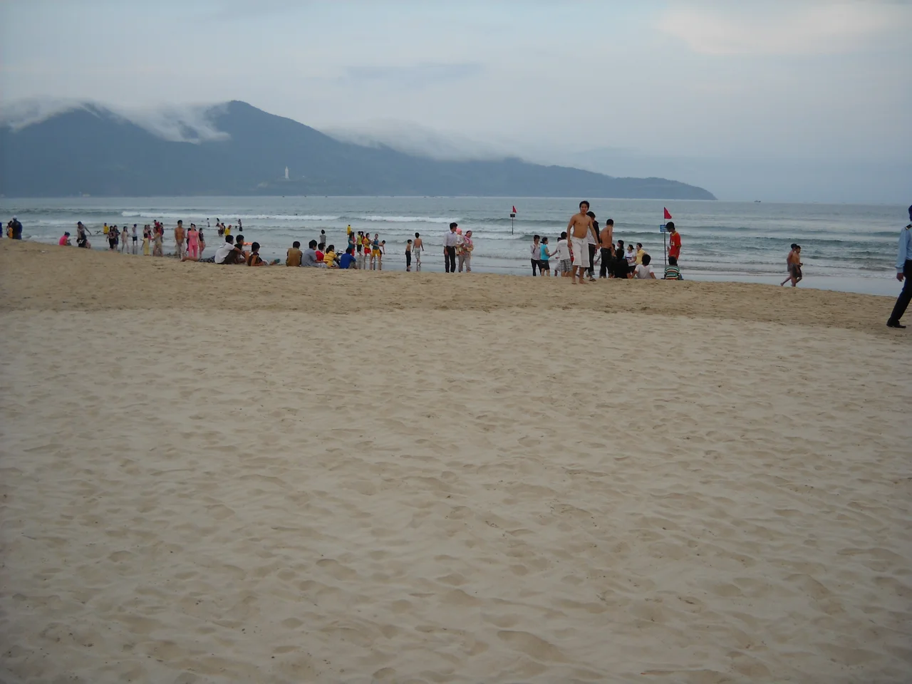

Sơn Trà Mountain
The peninsula announces itself from a distance: a dark green mass rising sharply from the coastal plain north of Da Nang, its ridge falling directly into the sea on three sides. American military personnel during the Vietnam War called it Monkey Mountain, partly for the red-shanked douc langurs that still inhabit its forest, partly because a signals and communications base occupied its highest point. The Vietnamese name, Sơn Trà, simply means 'mountain tea.' Both names have stuck, and both capture something true about the place — the wildness on one hand, and the long history of humans using this peninsula as a strategic vantage over the bay.
The Langurs in the Canopy
Sơn Trà is one of the last significant refuges for the red-shanked douc langur, one of the most visually striking primates in the world. Males carry grey-and-maroon coats, vivid orange-red lower limbs, and white ear tufts — an animal that looks improbably decorative against the green forest. Over 60 percent of the remaining population of this endangered species lives on Sơn Trà Peninsula. The mountain was designated a nationally protected forest in 1977, following reunification, and the forest cover — largely intact despite development pressure — remains the reason the langurs have held on here. Spot them in the morning hours near the road that winds up to Ban Co peak, moving through the canopy in small family groups. They are shy, not reliably visible, but when they appear they are unmistakable.
A Cemetery for the Conquerors Who Failed
On Yet Kieu Road, just before the gates of Tiên Sa port, a small white chapel marks the Y Pha Nho Cemetery. It was inaugurated in 1898, built to hold the remains of French and Spanish soldiers who died in Admiral Charles Rigault de Genouilly's 1858–1860 expedition — France and Spain's first attempt to seize Tourane, the city now called Da Nang. The attack failed. The forces held the harbor but could not advance inland against Vietnamese resistance and were devastated by disease. Thirty-two graves, most unlabeled, surround the chapel. A commemorative plaque inside reads in French: 'To the memory of French and Spanish soldiers of the expedition of Rigault de Genouilly. Died in 1858–59–60 and buried here.' The cemetery is small and easy to miss, but it marks one of the first armed encounters between France and Vietnam — a war that would last, in various forms, for nearly a century more.
The Monkey Mountain Facility and the War
During the American phase of the Vietnam War, Sơn Trà's strategic position above Da Nang Bay made it a natural home for military communications. The Monkey Mountain Facility operated as a signals and electronic intelligence station, monitoring traffic across the region. Camp Tien Sha, another base at the foot of the mountain's western face, is now part of the civilian Tiên Sa Terminal. The mountain bears scars from this period that go beyond infrastructure. On 26 October 1965, two F-4B Phantoms of VMFA-115 returning to Da Nang Air Base crashed into the mountainside, killing all four crew members. On 19 February 1968, a CH-53A helicopter from HMH-463 struck the mountain, killing all 13 personnel aboard. A month later, on 24 March 1968, an F-8 Crusader from VF-53 also crashed here; that pilot ejected successfully, and the fuselage of the aircraft, embedded in the hillside, became an unlikely landmark for military personnel stationed nearby.
The Lady Buddha and Ban Co Peak
Near the Hoang Sa road, the Linh Ung Pagoda — described as the largest pagoda in central Vietnam — stands in a setting known locally as Bai But, or Buddha's Sanctuary. In its courtyard rises the Lady Buddha Da Nang statue, 67 meters tall and, by Vietnamese accounts, the tallest Buddha statue in the country. The white figure is visible from across the entire city and from the water, a landmark in the strictest sense. Higher up, at Ban Co (Chessboard) peak near 600 meters, a different perspective opens: the full arc of Da Nang Bay, the Hai Van Pass to the north, the Cham Islands on the horizon, and on very clear days, the green hills of Ba Na above the coastal plain. The peak takes its name from a chessboard-and-players sculpture installed there, a whimsical marker at the mountain's highest point.
From the Air
Sơn Trà Mountain sits at approximately 16.1197°N, 108.2868°E, forming the distinctive headland on the north side of Da Nang Bay. It is one of the most recognizable terrain features on this stretch of coast: a sharply defined forested ridge rising to nearly 600 meters and falling directly into the sea on three sides. Da Nang International Airport (VVDN) lies about 5 km southwest — pilots approaching or departing Runway 35L/17R will pass close to the peninsula's flanks. The airport's ICAO code is VVDN. Approach at no lower than 3,000 ft over the mountain and be aware that terrain rises sharply and can generate turbulence in strong northeast winds. The Hai Van Pass to the north is another visual reference; in clear conditions the entire Da Nang coast is visible from altitude.
Nearby Stories
- Bach Ma National Park 15 km away
- Thạnh Mỹ Massacre 17 km away
- Tomb of Gia Long 36 km away
- 1968 Kham Duc C-130 Shootdown 45 km away
- Lý Sơn Island 51 km away
- Perfume River 91 km away
- Operation Masher / White Wing 173 km away
- Battle of the Paracel Islands 283 km away