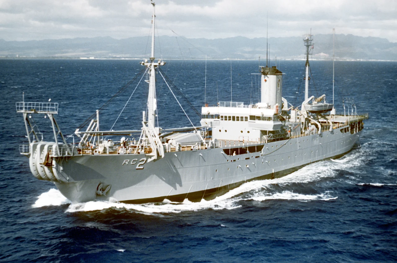

SOSUS
On July 6, 1962, a Soviet nuclear submarine slipped into the North Atlantic through the Greenland-Iceland-United Kingdom gap, expecting to disappear into deep water like every Soviet boat before it. It did not disappear. Hydrophones on the sea floor caught the low-frequency thrum of its reactor coolant pumps, sent the signal up a cable, and within minutes a watchstander at Naval Facility Barbados had identified the contact, classified it, and reported it. The Soviets did not know it yet, but the ocean had grown ears. The system was called SOSUS, and for forty years its existence was one of the deepest secrets in the United States Navy.
A Bell Labs Problem
The work that became SOSUS started in 1949, when the US Navy asked the National Academy of Sciences how to counter a Soviet diesel submarine fleet that was growing faster than the US could build escorts. The resulting Project Hartwell study, led from MIT, recommended a passive listening system that exploited the deep sound channel, the SOFAR layer, where low-frequency sound could travel across entire ocean basins. The Office of Naval Research handed the engineering to AT&T, with Bell Labs doing the research and Western Electric the manufacturing. They called the research Project Jezebel, because they were looking for the low-frequency rumble of submarine machinery, around the A two octaves below middle C, and because Jezebel was "of low character." The cover name for the whole installation programme was Project Caesar.
Cables and Triangles
The first experimental array, six hydrophones, was laid off Eleuthera in the Bahamas in 1951. A year later a full forty-element array was installed nearby, and tests against a target submarine were so successful that the order for stations was promptly increased. By 1957, a string of Naval Facilities ran along the western Atlantic from Nova Scotia to Barbados, each looking outward into the ocean basin with arrays placed on the continental slope. The math was elegant. When two stations heard the same submarine, they had bearings; with three stations, they had a position. Aircraft could then be vectored to localize and prosecute. The infrastructure was not new technology. Cable laying was a Bell Labs specialty refined over a century of telegraph and telephone work. What was new was the understanding of how sound traveled in deep water, which had been worked out at Woods Hole and Scripps under the parallel Project Michael.
The Watch Floors
Inside each Naval Facility, ranks of LOFARgram writers printed continuous strip charts on electrostatic paper, smearing acoustic energy across a frequency-versus-time grid. Trained watchstanders, given the cover title of Ocean Technician, scanned these grids for the faint lines that marked a submarine's machinery signatures. Different boats produced different signatures: the gear-mesh of a turbine, the cavitation of a propeller, the throb of a coolant pump. Cataloging those signatures took years. The Navy personnel doing the work could not display their warfare specialty, could not tell their families what they did, and could not even acknowledge the name of their job. The cover story was oceanographic research. Officially, they were just measuring the sea. The Pacific systems came online from 1957, with stations at San Nicolas Island, Point Sur and Centerville Beach in California, Pacific Beach in Washington, Coos Head in Oregon, and a Hawaiian site at Barbers Point.
Brawdy and the GIUK Gap
By the 1970s the network had grown beyond its original Atlantic basin. The Iceland-UK gap was the gateway through which any Soviet submarine had to pass to reach the open Atlantic, and watching it required a forward station closer than the American east coast. NAVFAC Keflavik opened in Iceland in 1966. Eight years later, in April 1974, NAVFAC Brawdy was commissioned in Pembrokeshire alongside the RAF station of the same name, becoming the first "super NAVFAC" with 400 American and British personnel. Brawdy's arrays watched the eastern Atlantic; Keflavik's watched the gap. Together they could see, hear and triangulate any Soviet boat coming or going from the Northern Fleet bases on the Kola Peninsula. In 1985 a new technology, the Fixed Distributed System, was tested at Brawdy, marking the next generation of sea-floor sensors.
Coming Up for Air
In 1985 the system was renamed the Integrated Undersea Surveillance System, IUSS, reflecting the addition of the mobile SURTASS towed arrays on T-AGOS ships. The fixed bottom arrays kept listening, but the network was no longer just a chain of cables. In 1991 the mission was finally declassified. The Atlantic and Pacific commands changed their names from Oceanographic to Undersea Surveillance. Personnel could finally wear insignia reflecting their actual job. NAVFACs began consolidating into central processing facilities. NAVFAC Brawdy closed on October 1, 1995, its arrays "remoted" to RAF St Mawgan in Cornwall. NOAA was given access to some of the hydrophones for monitoring underwater seismic activity, and Woods Hole used them to track a lone whale with an unusual call across the Pacific for years. SOSUS continues today under Commander Undersea Surveillance, listening, watching, and mostly still classified.
From the Air
The most accessible SOSUS shore site for aviation purposes is the former NAVFAC Brawdy at 51.87°N, 5.14°W in Pembrokeshire, Wales. The site sits adjacent to the former RAF Brawdy airfield, now Cawdor Barracks, six miles east of St Davids. Visible from altitude as a former military installation with surviving secure compound. Nearest active airfield is EGFE (Haverfordwest) seven miles east. The actual hydrophone arrays lay miles offshore, down the continental slope into the deep Atlantic; no surface evidence remains of the cable runs. The GIUK gap, the system's most famous beat, stretches from southern Greenland through Iceland to the northern UK.
Nearby Stories
- RAF Angle 0.9 km away
- Cardigan Bay Special Area of Conservation 5.4 km away
- Abercych 11 km away
- Cantre'r Gwaelod 12 km away
- Burry Port Lifeboat Station 22 km away
- Johnstown Castle 61 km away
- Hook Lighthouse 92 km away
- 1979 Fastnet Race 157 km away