.jpg)
Cape Sounion
Homer called it "Holy Sounion, Cape of Athens," and the helmsman of Menelaus died there while rounding it on the voyage home from Troy. That is the oldest written reference to this headland, and it already frames Sounion as a place where the sea asserts its authority. The promontory juts from the southernmost tip of the Attica peninsula, 69.5 km southeast of Athens, with the Aegean wrapping around it on three sides. From almost anywhere in the southern Cyclades, on a clear day, you can see the columns.
The Temple That Outlasted Everything
The Temple of Poseidon standing at Sounion today is not the first one. An earlier, archaic-period temple of tufa stone occupied the same site before Persian forces destroyed it in 480 BCE. After defeating the Persians at Salamis — a victory financed by the silver mines of nearby Laurion — the Athenians mounted a captured Persian trireme at Sounion as a trophy to Poseidon. Then they built a new temple.
Construction ran from 444 to 440 BCE, during the ascendancy of Pericles, who was simultaneously rebuilding the Parthenon. The Sounion temple is hexastyle — six columns across the front portico — with 34 columns total of the Doric order, made from locally quarried white marble. Each column stands 6.1 meters high. Fifteen still stand. At its center, the windowless hall would have contained a colossal bronze statue of Poseidon, six meters tall, ceiling-height. Nothing remains of it. On the same headland, 300 meters to the northeast, a separate Temple of Athena was built in 470 BCE — its architecture peculiar, colonnaded only on two sides, a feature unusual enough that Vitruvius remarked on it.
Silver Mines, Grain Ships, and Rebel Enslaved People
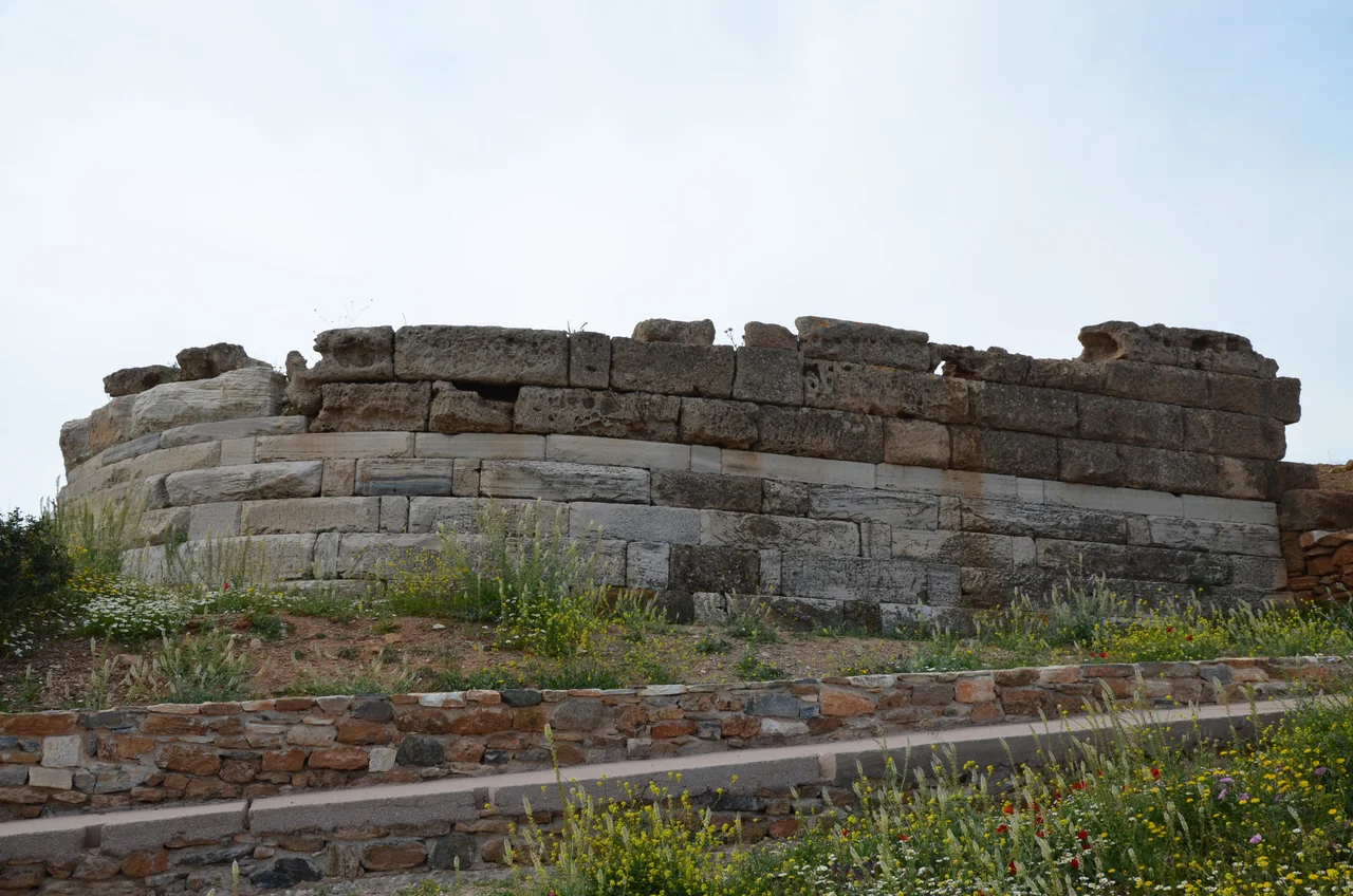
Sounion was not only sacred. It was strategic. In 413 BCE, as the Peloponnesian War ground toward its disastrous end for Athens, the city fortified the headland with walls and towers to protect the sea route for grain ships coming from Euboea. Athens' overland supply lines had been cut by Sparta's fortification of Dekeleia to the north; Sounion was the last choke point.
The fortress was seized — at least briefly — by enslaved people who had escaped from the silver mines of Laurion a few kilometers away. The same mines that had built the fleet that won Salamis produced, generation after generation, the conditions for desperate rebellion. The fortress held into the Hellenistic period; repairs were made as late as the Chremonidean War in 266–261 BCE.
Byron's Name in the Stone
By the 17th century, the Venetians called the cape Capo Colonne — Cape of Columns — because, unusually, several columns had remained standing since antiquity. Travelers arrived in a steady stream: George Wheler in 1676, Lady Mary Wortley Montague in 1718, Richard Chandler in 1765. The Scottish poet William Falconer was shipwrecked here in 1750, and drew on the experience for his poem The Shipwreck twelve years later.
George Gordon Byron visited Sounion twice during his time in Athens in 1810–11. Carved into the base of one of the temple columns is his name. Whether Byron carved it himself is not documented, but the inscription has become part of the site's mythology. He wrote of the place in his poem Isles of Greece: "Place me on Sunium's marbled steep, / Where nothing, save the waves and I, / May hear our mutual murmurs sweep." Martin Heidegger came in 1962 and described the columns in a sea breeze as "the strings of an invisible lyre."
What Remains at the Edge
The Sounio national park, established in 1974, covers 750 hectares around the headland. Sounion has become the southeastern anchor of the Athens Riviera, with villas and a luxury resort built in the 1960s and 1970s along the bay to the northwest. The sunset over the Aegean, viewed from the temple ruins, draws a daily crowd in summer.
But stand near the columns on a winter afternoon, when the tourist buses have gone and the wind comes off the open water, and the scale of the setting reasserts itself. The sea in every direction, the long peninsula narrowing behind you, fifteen white columns on the cliff edge. Homer's sailors knew this headland as the last landmark of the Attic world before the Aegean took them.
From the Air
Cape Sounion is at 37.649°N, 24.030°E — the southernmost point of the Attica peninsula, 69.5 km southeast of Athens. From the air, it is one of the most identifiable landmarks in Greece: white columns on a limestone promontory with open sea on three sides. The nearest major airport is Athens International Eleftherios Venizelos (LGAV), approximately 50 km to the north-northwest. Follow the eastern coastline of Attica south; the cape is unmistakable where the land ends. Recommended viewing altitude: 1,500–3,000 feet AGL — low enough to resolve the temple columns against the sea. Patroklos island is visible offshore to the northwest. Visibility is often excellent, with the Cycladic islands visible to the south on clear days.
Nearby Stories
- Salamis Naval Base 1.9 km away
- Battle of Andros (1790) 5 km away
- Temple of Aphaia 5.8 km away
- Hydra: The Island That Refused the Car 13 km away
- Gyaros 14 km away
- Saint Ephraim Monastery, Nea Makri 16 km away
- Kythnos 30 km away
- Archaeological Museum of Sifnos 53 km away