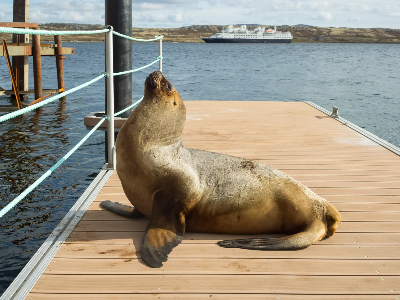

Stanley, Falkland Islands
"Of all the miserable bog holes, I believe that Mr Moody has selected one of the worst for the site of his town." That was one settler's verdict when Governor Richard Moody moved the Falklands capital here in the 1840s, to a north-facing slope in one of the wettest corners of the islands. Nearly two centuries later the bog hole has the last laugh: brightly painted roofs of red and green and blue line the harbour, and Stanley is the southernmost capital on Earth, the small, stubborn heart of a windswept archipelago.
A Town Built on Shipwreck
Stanley grew rich on disaster. Before the Panama Canal opened in 1914, sailing ships rounding Cape Horn met some of the cruelest seas in the world, and the battered survivors limped into Stanley Harbour for repair. The ship-repair trade drove the early economy; later came whaling, sealing, and a Royal Navy coaling station. Work on the settlement began in 1843, and it became the capital in July 1845, named for Lord Stanley, then Britain's Secretary of State for War and the Colonies. In 1849, thirty married Chelsea Pensioners, army veterans, were settled here to help defend and build the place. The hulks of old wooden ships still rot in the shallows, a graveyard of the age of sail preserved by the cold.
When the Hill Came Down
The peat that warms Stanley's hearths nearly destroyed it. Around midnight on 29 November 1878, after years of careless peat cutting upslope, a black moving mass several feet high began creeping down toward the town at four or five miles an hour. By the next morning Stanley had been cut in two, and for a time the only way across was by boat. A second slide in 1886 killed two people and swept away Holy Trinity Church. On its site rose Christ Church Cathedral, built between 1890 and 1892 from local stone to a design by Sir Arthur Blomfield, the southernmost Anglican cathedral in the world. Outside it stands the town's strangest landmark: an arch built in 1933 from the jawbones of two blue whales, raised to mark a century of British rule.
Ten Weeks Under Occupation
In 1982 the war came to the doorstep. Argentine forces occupied Stanley for roughly ten weeks, renaming it Puerto Argentino, a name many islanders still find deeply offensive. The town was damaged by the occupation and by British naval shelling, and in the early hours of 12 June a shell from a Royal Navy frigate struck a house at 7 Ross Road. Three civilian women sheltering inside were killed: islanders Doreen Bonner and Mary Goodwin, and Susan Whitley, a British resident. They were the only civilians to die in the entire conflict. When British troops seized the high ground ringing the town, the Argentine garrison surrendered on 14 June without a fight in the streets themselves. The beaches and surrounding hills were left sown with mines, and marked minefields lingered for decades.
More Than a Third Bigger
Liberation Day, 14 June, is now a public holiday, and the town that survived has thrived. Fishing licences and tourism transformed the economy after the war, and new housing has spread east of the old centre until Stanley grew more than a third larger than it was in 1982. In 2022, during Queen Elizabeth II's Platinum Jubilee and the 40th anniversary of the invasion and liberation, Stanley was granted city status; the governor read out the letters patent outside the town hall to applause from some four hundred islanders. It remains tiny. At the 2021 census, the city held 2,974 people out of an island population of just 3,662, almost everyone who lives at the bottom of the world.
The Climate at the Edge
Stanley sits no farther from the equator than London or Cardiff, yet it feels like a different planet. The westerlies blow almost without pause, snow can fall in any month, and frost grips more than one night in three. The climate is subpolar oceanic, hovering on the very edge of polar classification; only two months a year are warm enough to keep it from being formally counted as tundra. Rainfall is modest, around 544 millimetres a year, but it falls on roughly 125 days of it, and the islands catch only about a third of their possible sunshine. The grass stays green, the wind keeps blowing, and the light, when it breaks through, turns the harbour silver.
From the Air
Stanley lies on the east coast of East Falkland at 51.69 degrees south, 57.85 degrees west, on the south shore of a long sheltered harbour off Port William. From the air it is unmistakable: a compact grid of bright metal roofs on a north-facing slope, the white tower of Christ Church Cathedral near the waterfront, and the wrecks of old sailing ships in the shallows. Recommended viewing altitude is 2,500 to 4,000 feet to take in the harbour, the town, and the ridgeline of battle hills (Longdon, Two Sisters, Tumbledown) immediately to the west. The town has a small airfield, Port Stanley Airport (ICAO SFAL), used for inter-island and Antarctic flights; the main international gateway is RAF Mount Pleasant (ICAO EGYP), about 30 miles southwest. Expect strong, gusty westerly winds, rapidly changing visibility, and low cloud; clear, calm days are rare and prized.
Nearby Stories
- Volunteer Point 3.8 km away
- Argentine Military Cemetery 40 km away
- Sea Lion Island 67 km away
- Pebble Island raid 89 km away
- HMS Sheffield (D80) 118 km away
- Sinking of ARA General Belgrano 447 km away
- South Georgia Island 1404 km away
- Villa Gesell 1585 km away