.JPG)
Tai O
The salt and the shrimp paste hit you before you see much else. Tai O has been a fishing village for at least three centuries of verifiable history, and the business of the sea — drying fish on racks, fermenting shrimp in wooden vats, mending nets on wooden platforms built over the river — still organizes daily life here in ways that have almost vanished from the rest of Hong Kong. The village sits where the Tai O River splits into two channels around a low island on the western coast of Lantau. "Large inlet" is what the name means, referring to the place where the waterways converge before meeting the South China Sea, and the inlets are still large — wide, tidal, and home to a small population of Chinese white dolphins, called pink dolphins for the color they develop with age, which tourists come specifically to see.
Centuries at the Edge of the Sea
Archaeological sites nearby date to the Stone Age, but the verifiable human settlement at Tai O is roughly three hundred years old. The Tanka people — boat-dwelling fishing communities — were among the earliest permanent residents. In the early sixteenth century, Portuguese forces briefly occupied Tai O during the Battle of Tamão; the remains of that episode survive in local memory as Fan Kwai Tong, meaning "Foreign devil pond." When the Qing dynasty's Great Clearance of 1661 forcibly evacuated coastal populations to deny support to Ming loyalists, Tai O was among the communities displaced. It was resettled in 1669 when the restrictions were lifted, alongside four other Lantau villages. In 1729, a fort was built at nearby Fan Lau to protect shipping on the Pearl River. The village's position at the edge of the Pearl River estuary made it a place where things moved — goods, people, information, and contraband — and where the boundary between legal trade and smuggling was always negotiable.
Salt, Fire, and Slow Decline
Tai O was never only a fishing village. Salt production occupied a significant portion of its economy for centuries. By 1938, the salt marshes covered 70 acres and produced 25,000 piculs — roughly 1,512 metric tons — in a single year. The 1911 census counted a total population, both land and boat-based, of 7,661 people. That number has shrunk dramatically. The salt industry is long gone. The fishing economy that replaced it as the primary livelihood has also diminished; for most residents who still fish, it barely covers subsistence costs. Young people leave when they reach adulthood. A fire in 2000 destroyed many residences, leaving 300 people homeless and accelerating the village's physical decline. What remains is a mix of squatter huts and aging stilt houses over the river — structures that look precarious but have housed fishing families for generations.
Houses on the Water
The stilt houses are what most visitors come for, and they deserve the attention. Built on wooden poles driven into the riverbed, extending out over the tidal channels, they represent a form of vernacular architecture that was once common in the Pearl River delta and has largely disappeared elsewhere. The houses cluster along the river forks, connected by narrow walkways and small bridges. At low tide the mudflats are exposed beneath them; at high tide the water laps at their foundations. Two pedestrian bridges — one across each fork of the river — connect the island at the center to the surrounding village. The western and northern shores of the island, facing the open South China Sea, are uninhabited. It is a strangely intimate geography for a place with such a long and eventful history.
Temples, Police Stations, and Pink Dolphins
The oldest surviving landmark in Tai O is the Yeung Hau Temple, built in 1699 and designated a declared monument of Hong Kong. The Kwan Tai Temple on Kat Hing Back Street followed in 1741, and the Tin Hau Temple in 1772. These temples, dedicated to deities associated with the sea and with community protection, form the spiritual architecture of a village that has always lived by the water's terms. The Old Tai O Police Station, a Grade II historic building dating to the colonial era, stood vacant for years before being converted into the Tai O Heritage Hotel in 2012 by the Hong Kong Heritage Conservation Foundation — nine rooms, a restaurant, and a preserved colonial building that now earns its keep as a place to stay rather than a ruin. Boat tours from the village take visitors into the estuary, where Chinese white dolphins — naturally pink as adults — surface with some regularity.
A Village That Persists
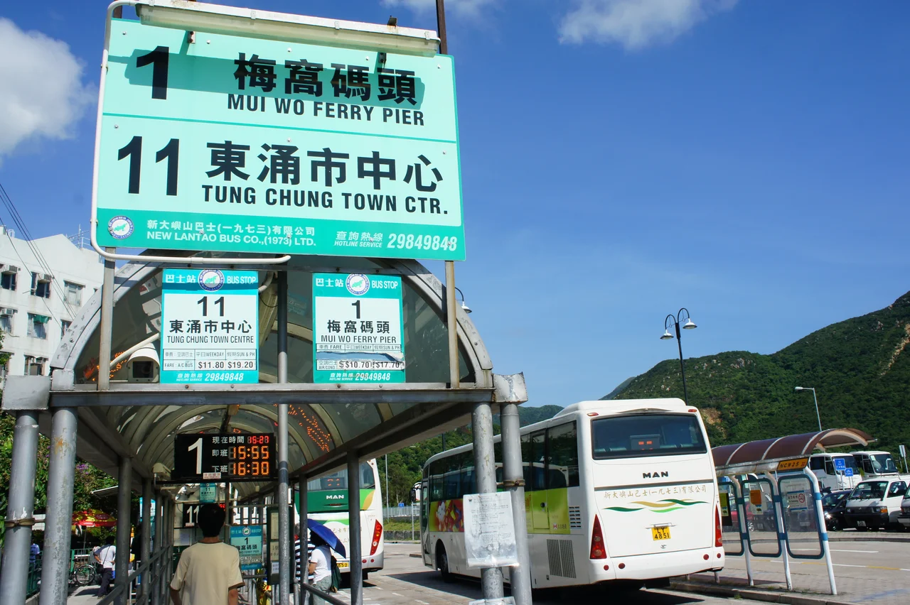
Tai O has attracted filmmakers and television producers as a setting precisely because it still looks like what it is: a working fishing village, visibly old, that managed not to be demolished or fully transformed. Two Hong Kong dramas have been set here — a 1998 TVB production and a 2021 ViuTV series — and the village appears in travel writing as a counterpoint to Hong Kong's hypermodern urban core. The buses from Tung Chung and Ngong Ping connect it to the airport and the Big Buddha, which means Tai O sits at the end of a popular Lantau day-trip circuit. But it absorbs those visitors without losing its own character: the shrimp paste smell doesn't go away, the stilt houses don't become boutiques, and the river, twice a day, still rises and falls with the tide.
From the Air
Tai O sits at approximately 22.25°N, 113.86°E on the western coast of Lantau Island, clearly identifiable from the air as the point where a river system meets the South China Sea at Lantau's western edge. The village occupies a small island in the river fork, with settlement extending along both banks. Recommended viewing altitude: 1,500–3,000 ft for a clear view of the river channels, stilt house clusters, and the open estuary. The Fan Lau Fort headland is visible approximately 7 km to the southwest. Nearest airports: VHHH (Hong Kong International, approximately 18 km northeast on northern Lantau) and VMMC (Macau International, approximately 38 km to the west-southwest). The Ngong Ping plateau and the Big Buddha statue are visible approximately 10 km to the northeast. From altitude, Tai O's characteristic split-river geography distinguishes it immediately from the surrounding coastline.
Nearby Stories
- Tai Tau Chau (Southern District) 0.7 km away
- Lai Chi Wo 3 km away
- Wanshan Archipelago Campaign 3.2 km away
- Pearl River Delta 3.7 km away
- Battle of Yamen 13 km away
- Jiangmen 15 km away
- Hong Kong 12 32 km away
- Battle of Nanpeng Island 114 km away