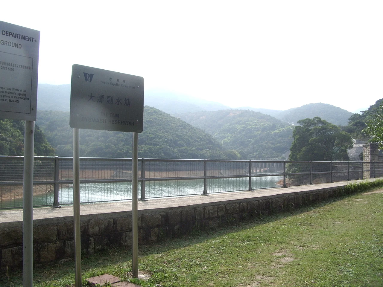

Tai Tam Byewash Reservoir
The problem was simple: too many people, not enough water. By the late nineteenth century, Tai Tam Upper Reservoir couldn't keep pace with Hong Kong Island's growing population, and the island had almost no additional land to develop into new catchment area. The solution that engineer James Orange designed in the early 1900s was elegant in its practicality — build a second reservoir below the first, and let physics do the work. When the upper reservoir fills beyond capacity, water flows down through the bridge separating the two, into what became the Tai Tam Byewash Reservoir. Completed in 1904, it has been collecting overflow ever since.
A Problem of Growth
Hong Kong Island sits on a rocky subtropical landscape with a small watershed and limited flat ground. Fresh water was always a constraint on the colony's ambitions, and by the late 1800s the Upper Reservoir at Tai Tam wasn't sufficient. The government's answer was the Extension of the Tai Tam Water Supply System — a phased expansion of the entire valley's capacity. The byewash reservoir was the second phase: a structure designed not to collect rainfall directly, but to capture the freshwater that would otherwise spill unused over the brim of the reservoir above. James Orange, serving as resident engineer for the construction project, designed the system. His solution added 22.4 million gallons of storage capacity to the Tai Tam valley without requiring a new catchment area of any size.
Two Dams, One System
The byewash reservoir isn't a single structure but a system. There are two dams: a main concrete gravity dam and a secondary dam positioned a short distance to the left. Between them, a short pier ties the two together. When Tai Tam Upper Reservoir reaches capacity, water passes through the bottom section of the vehicular bridge that separates the reservoirs, flowing down into the byewash below. This overflow connection is what gives the system its name: a "byewash" is a channel designed to carry away excess water. The result, when the upper reservoir is full, is that the two bodies of water appear almost continuous — a single glimmering surface with a bridge crossing it, the join between them all but invisible from above.
Monuments in Concrete and Brick
The engineering here has aged well enough to earn formal protection. The main dam and its valve house — a small structure built at the dam's centre to control water release — are both listed as declared monuments of Hong Kong. The surviving ruins of the senior staff bungalow and the workmen's quarters from the reservoir's construction era are classified as Grade III historic buildings. So is the Tai Tam Reservoir Red Brick Building nearby. These protections reflect the broader heritage significance of the Tai Tam Waterworks complex, which represents one of the most complete surviving examples of colonial-era water infrastructure in the region. The stonework and brickwork have an unexpectedly handsome quality — functional Victorian engineering that happens to photograph beautifully.
Walking Into the Watershed
The reservoir sits within Tai Tam Country Park, which means the infrastructure is accessible on foot in ways that urban reservoirs rarely are. Stage 6 of the Hong Kong Trail passes through the area, as does the dedicated Tai Tam Waterworks Heritage Trail, which links the various structures of the reservoir system into a walking route through the valley. The trail offers something unusual: the chance to read a landscape as an engineering document. The dams, the valve houses, the aqueducts and bridges that move water from one part of the system to another — all of it is visible, much of it walkable. In a city defined by speed and density, the Tai Tam valley offers a different pace. The trees are tall, the water is quiet, and the structures that keep the system working have been here for over a century.
From the Air
Tai Tam Byewash Reservoir is located at 22.2560°N, 114.2118°E within Tai Tam Country Park on Hong Kong Island's southeastern quadrant. From the air at 2,000 feet, the valley's green catchment area is distinct against the surrounding urban density. The reservoir's reflective surface is visible against the wooded hillsides of Tai Tam Country Park. Victoria Peak (552 m) lies approximately 6 km to the northwest. VHHH (Hong Kong International Airport) is roughly 38 km northwest. The Stanley Peninsula and Repulse Bay to the south provide coastal orientation when approaching from the harbour side.
Nearby Stories
- Lok Ma Chau Loop 2.3 km away
- Portas do Cerco 2.3 km away
- Kweilin Incident 17 km away
- Wanshan Archipelago Campaign 34 km away
- Nanxiong Formation 115 km away
- Battle of Nanpeng Island 148 km away
- Heyuan 169 km away
- Cape Maobitou 632 km away