
Tai Tam Reservoirs
Water nearly broke the colony before the colony could build itself. In 1872, Hong Kong Island's population was already outrunning its wells and springs, and the colonial government launched the Tai Tam scheme to harness the mountain valleys on the island's eastern flank. Economic depression shelved the plan in 1874. It resumed in 1882, finished in 1888 — and within a generation, was already insufficient. What grew from that stubborn, stop-start effort is now four reservoirs nestled in a green bowl of hills: Mount Butler, Jardine's Lookout, Violet Hill, and Mount Parker form a natural amphitheatre around shimmering water that still serves Hong Kong today.
The Scheme That Would Not Stay Shelved
The Tai Tam scheme had a troubled childhood. Colonial planners first drew up the blueprints in 1872, only to watch them gather dust for eight years as economic depression tightened government purse strings. When work finally resumed in 1882, the project moved with Victorian determination, completing the Tai Tam Upper Reservoir by 1888 at a cost of $1,250,000. For a few years, the island's thirst seemed slaked. Then urbanization pushed relentlessly eastward — Causeway Bay, North Point, Shau Kei Wan all reaching for water the system could barely spare. The scheme was never quite finished before demand lapped at its heels again. Phase two came in 1904 to 1907: the Tai Tam Byewash Reservoir and the Tai Tam Intermediate Reservoir, adding tens of millions more gallons of capacity. Still the city grew faster than its engineers could dam.
Daniel Jaffe's Great Dam
The Tai Tam Tuk Reservoir is the finale of the scheme and its grandest statement. Construction began in 1912 and the project was completed in 1917, costing 2.46 million Hong Kong dollars — a staggering sum for the era. The engineer Daniel Jaffe designed a dam 60 feet tall and 800 feet wide, capable of holding 1.42 billion gallons. But Jaffe did not stop at functional. Where the Tai Tam Road needed to cross the dam's lower face — linking Stanley to Chai Wan — he built twelve arches supported by half-round granite columns, turning a utilitarian spillway apron into a colonnade of Victorian civic pride. Governor Henry May officially declared the reservoir open on 2 February 1918. The four reservoirs together store 6.2 million cubic metres of water, and that capacity continues to contribute to Hong Kong Island's supply more than a century later.
A Bowl of Hills and Still Water
From above, the Tai Tam group reads as four glittering mirrors set into the folds of the country park. The surrounding ridgelines — rising to over 400 metres at Mount Parker — keep the valleys shaded long into morning, so the water retains a cool, dark quality that feels almost out of place so close to one of the world's densest cities. The restricted road, Tai Tam Reservoir Road, threads between the dams, connecting Wong Nai Chung Gap to Tai Tam and carrying the occasional Water Supplies Department vehicle but otherwise leaving the landscape unusually quiet. Herons pick along the reservoir margins. The granite stonework of the dams, pump houses, and valve chambers has darkened to the colour of slate over a century, blending into the hillside as though the infrastructure always belonged.
Monuments in Plain Sight
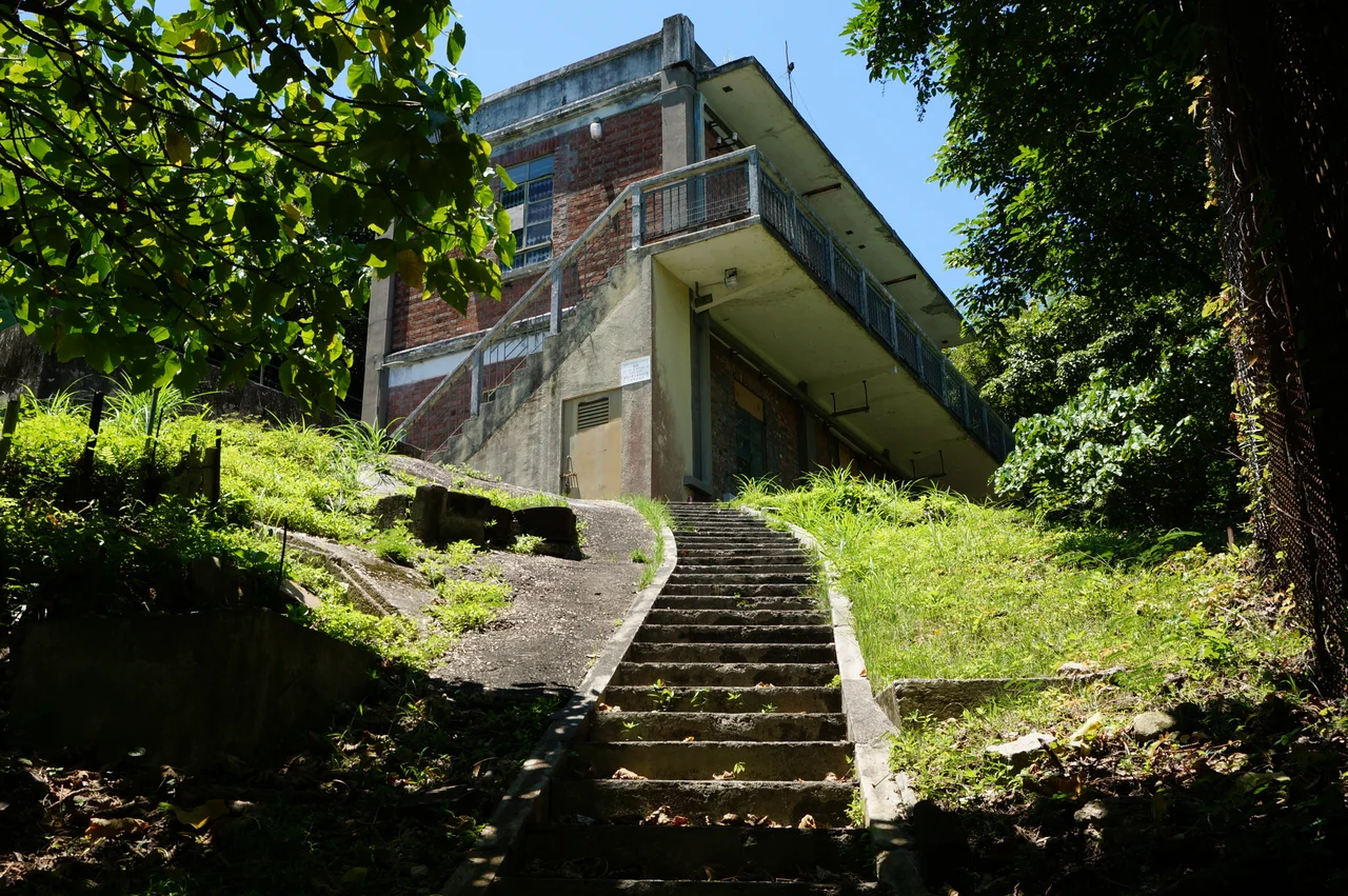
In September 2009, the Hong Kong government declared twenty-two facilities surrounding Tai Tam Tuk Reservoir as declared monuments — among them the dam itself, pumping stations, masonry bridges, valve houses, and a memorial stone. The declaration recognised that these structures, influenced by the Italianate Renaissance strand of Victorian civil engineering, were not merely functional but genuinely architectural. Unlike heritage projects that require reconstruction or interpretation, the Tai Tam waterworks needed almost nothing done to them — they were already intact, still operating, still pumping. That continuity is part of what makes them remarkable: infrastructure born in the 1880s that never stopped working long enough to become a ruin. The heritage trail opened in September 2009 to let the public trace this living history on foot.
The City at the Edge of the Green
Stand at the Tai Tam Tuk dam and the contradiction of Hong Kong sharpens into focus. Behind you, the valley is deep green and nearly silent. In front of you, the road curves down toward Tai Tam Harbour and, just beyond it, the sharp geometry of luxury apartment towers on the hillside. The Tai Tam Country Park boundary runs along ridgelines that have kept developers at bay, preserving one of the rare places on Hong Kong Island where the sound of wind in the trees genuinely competes with the sound of traffic. The reservoirs are both the reason the park was protected — the catchment had to be kept clean — and the chief beneficiaries of that protection. Water quality and wilderness turned out to need the same thing: leaving the hills alone.
From the Air
The Tai Tam Reservoirs sit at approximately 22.259°N, 114.210°E on the eastern side of Hong Kong Island. From the air at 3,000–5,000 feet, the four reservoir basins are clearly visible as a chain of reflective surfaces in the green hills south of Quarry Bay. The surrounding ridgelines — Mount Butler (436m), Jardine's Lookout (433m), Violet Hill (436m), and Mount Parker (532m) — form a natural bowl. The nearest major airport is Hong Kong International Airport (VHHH), approximately 35 km to the northwest on Lantau Island. The former Kai Tak Airport site is about 7 km to the northwest across the harbour. In clear weather, the granite dam faces and the arched road crossing are distinguishable at lower altitudes. The area sits in the approach corridor for VHHH runway 07L/07R arrivals, so aircraft pass overhead at significant altitude.
Nearby Stories
- Lok Ma Chau Loop 2.3 km away
- Portas do Cerco 2.3 km away
- Kweilin Incident 17 km away
- Wanshan Archipelago Campaign 34 km away
- Nanxiong Formation 115 km away
- Battle of Nanpeng Island 148 km away
- Heyuan 169 km away
- Cape Maobitou 632 km away