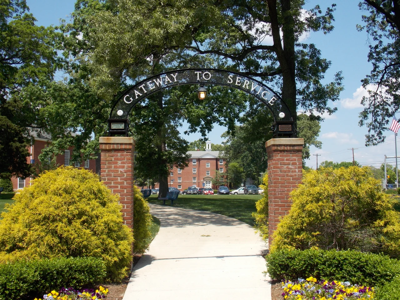

Takoma Park, Maryland
Sixteen-year-olds vote in municipal elections in Takoma Park, Maryland - the first city in the United States to extend the franchise that far, by a 2013 city council ordinance that has stood for over a decade. The town is also a Tree City USA, a Nuclear Free Zone (declared in 1983, never rescinded), a designated sanctuary for refugees from El Salvador and Guatemala (also 1980s, also still on the books), and the location of a food co-op that occupies more square footage than the city hall. Newspapers in the 1970s and 1980s called the place the Berkeley of the East and the People's Republic of Takoma Park, partly in mockery and partly in admiration. The residents took the nicknames as compliments and put one of them on a coffee mug. The town, in short, is exactly what it appears to be on the bumper sticker.
Robert's Choice
In the spring of 1884, a thirty-three-year-old developer named Benjamin Franklin Gilbert bought 100 acres of land called Robert's Choice from G.C. Grammar for the purpose of building a planned Victorian commuter suburb. The B&O Railroad's Metropolitan Branch ran through it. Gilbert designed lots, named streets, advertised in Washington newspapers, and watched a community materialize around the railroad station. By August 1885 about 100 people were living there. By 1890 there were enough to incorporate as a town, with Gilbert elected mayor on May 5 of that year. The name came from a Washingtonian named Ida Summy. She believed Takoma was a Lushootseed word from the Pacific Northwest meaning high up or near heaven. The word is in fact the indigenous name for Mount Rainier, and probably means something closer to snow-covered mountain. Summy was off on the etymology but right about the altitude: Takoma Park sits on the Mid-Atlantic fall line, the geographic step where the Piedmont drops to the Coastal Plain, and the town's hills give it a distinctly un-District topography. The city of Tacoma, Washington, was named after the same mountain. A 1893 fire destroyed Gilbert's commercial district and the Watkins Hotel, but the residential pattern survived.
Adventists and Activists
In 1904 the Seventh-day Adventist Church bought five acres of land along Carroll Avenue and decided to move its world headquarters from Battle Creek, Michigan, to Takoma Park. The Adventists needed clean water from natural springs (Spring Park provided it) and a quieter place than central Washington from which to manage what was then a rapidly growing global denomination. They eventually accumulated fifty acres along Sligo Creek, built the Takoma Park Seventh-day Adventist Church, founded Washington Adventist University, and ran the church's worldwide operations from Maryland until 1989, when the headquarters moved to a larger facility in northern Silver Spring. The Adventist influence still shapes the town - its hardwood-lined streets, its vegetarian-friendly food culture, its high concentration of medical professionals working at Washington Adventist Hospital. Onto this Adventist substrate the radical politics of the 1960s grafted itself surprisingly easily. By 1983, Takoma Park had declared itself a nuclear-free zone; by 1985, a sanctuary for refugees from Salvadoran and Guatemalan civil wars. The food co-op opened, then expanded, then expanded again. The Berkeley of the East was no longer a metaphor.
The Ugly Covenants
Before the Fair Housing Act of 1968 made the practice illegal, much of Takoma Park was developed under racially restrictive covenants. The first known covenant - in the Hillcrest subdivision - dates to 1911. The 1939 deed for the New Hampshire Avenue Highlands subdivision read: 'No lot shall be leased, transferred, sold, occupied or conveyed to or for the use of any person or persons not wholly of Caucasian Race or blood, excluding Semites; but this covenant shall not prevent casual occupancy by domestic servants of a different race, employed by an owner or tenant.' Bonnie View, Carroll Farm, Carroll Manor, Fletcher's Addition, Flower Avenue Park, Green Hill Farms, Hampshire Knolls, Hillwood Manor, Wildwood - the list of subdivisions whose deeds carried similar language is long. The covenants barred Black families and Jewish families both. The Supreme Court's 1948 decision in Shelley v. Kraemer made them unenforceable; the Fair Housing Act made them illegal. The deeds, however, often still carry the original language as a historical record of what the city used to be before it became what it now claims to be.
Unification
For over a century, Takoma Park sat awkwardly across two Maryland counties - Montgomery on the west, Prince George's on the east - and across the District of Columbia line at its southern edge, with the original downtown sitting partly in Maryland and partly in D.C. By the 1990s residents were tired of paying two different sets of county taxes and dealing with two sets of county services for what was, functionally, one town. The Maryland General Assembly agreed to a cross-county adjustment on the condition that cross-county municipalities would no longer be allowed. In August 1995 voters in three Prince George's County neighborhoods north of New Hampshire Avenue voted 219 to 94 to join the city. In November 1995 a state-wide referendum confirmed that the entire city should move into Montgomery County. On July 1, 1997, the county line moved. Takoma Park calls this Unification, and treats July 1 as a quasi-civic holiday. The town remains divided by the Maryland-D.C. border at Eastern Avenue, but no longer by an internal Maryland county line.
What It Is Now
The 2020 census counted 17,629 residents on 2.09 square miles. Forty-seven percent are tenants. Twenty-five percent were born outside the United States. Median household income runs above the Montgomery County average but Sligo Creek's apartment cluster anchors a significant working-class community alongside the brick Victorians of Old Takoma. The 1981 rent stabilization ordinance has kept rents among the lowest in the metropolitan area and also discouraged new multifamily construction - a tradeoff city politics continues to argue about. The Safe Grow Act of 2013 banned synthetic pesticides on all city land. In 2018 the city council proposed renaming Grant, Lee, Sherman, Sheridan, and Jackson Avenues - all originally named for Civil War generals on both sides of the conflict by Samuel S. Carroll, who developed that subdivision. As of 2024 the streets still carried the same names. The food co-op anchors Takoma Junction at the corner of Carroll Avenue and East-West Highway. The Adventists are still down at Spring Park. The B&O Metropolitan Branch still runs past the Takoma Metro station every fifteen minutes. And the sixteen-year-olds still vote.
From the Air
Takoma Park sits at 38.9778 degrees N, 77.0075 degrees W, in southern Montgomery County, Maryland, immediately northeast of the District of Columbia line. From the air the town reads as a hilly, densely wooded suburb of brick Victorian houses and mid-rise apartment buildings, threaded by the deep valley of Sligo Creek and the B&O Metropolitan Branch rail line. Best viewed at 1,500 to 3,000 feet AGL; the entire site lies within the Washington FRZ and Special Flight Rules Area. Nearest airports are College Park (KCGS) 4 nm east, Ronald Reagan Washington National (KDCA) 7 nm south, and Washington Dulles (KIAD) 22 nm west.
Nearby Stories
- Gunston Hall 1.1 km away
- 2023 Baltimore Shooting 4.9 km away
- Battle of Middleburg 6.6 km away
- Crownsville Hospital Center 10 km away
- Battle of Loudoun Heights 13 km away
- First Battle of Rappahannock Station 20 km away
- Howard County, Maryland 21 km away
- Harriet Tubman Underground Railroad 50 km away