Tarqui, Cuenca Canton
In 1736, a French surveyor hauled his quadrant up a pyramid-shaped hill south of what is now Cuenca, Ecuador, and began to measure an arc of meridian. His name does not matter much - it was a team effort - but the work mattered enormously. The French Geodetic Mission had sailed to the Andes to settle an argument that had divided the Royal Academy in Paris for a generation: was the Earth a sphere, or was it flattened at the poles? They chose Tarqui as one of their stations, set up their instruments on a hill the locals would later rename Frances Urco in their honor, and proved Newton right. The Earth bulges at the equator. You can still climb the 640 steps to the summit they used.
Knife Field
The name Tarqui goes back further than anyone now remembers with certainty. Some linguists, following Oswaldo Encalada's study, derive it from Kichwa and render it as 'step.' Others hear the older echo of a Canari wind instrument called the tarqui, said to have been played by the Inca Atahualpa during a confrontation with the Spanish. Either reading is plausible, and both are probably partly true - the Canari Confederation controlled this valley for centuries before the Incas arrived, and their language, ceramics, and place names survive underneath the newer layers. Ceramic shards still turn up in fields here. The Inca Trail once passed through this sector on its way north.
The Battle of Tarqui
In February 1829, the valley hosted an event more violent than a geodetic measurement. Gran Colombia and Peru were at war over the ownership of Guayaquil and the southern provinces. On February 27, Venezuelan general Antonio Jose de Sucre - Simon Bolivar's favored lieutenant and later the namesake of Bolivia's currency - met a Peruvian army under Jose de La Mar in the plains just south of Cuenca. The fighting was brief but decisive. Gran Colombia won, Peru retreated, and the Treaty of Giron signed shortly afterward confirmed the borders that, with small adjustments, still separate the two countries. A monument at Portete de Tarqui, just down the road from the parish center, marks the anniversary every February. Ecuadorian military cadets swear their oaths there.
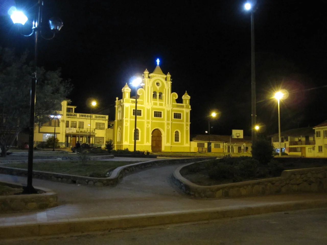
A Parish at 2,628 Meters
Tarqui itself was formalized as a parish on October 18, 1915, when the Cuenca municipal council passed decree number 887 creating a new civil district of 135 square kilometers divided among 26 small communities: Atucloma, Taniloma, Parcoloma, Tutupali Grande and Tutupali Chico, on and on through 26 names that map the old Canari territory. The climate sits in the high Andean range - averages between 12 and 20 degrees Celsius - because the parish rises to nearly 2,700 meters at its center and touches paramo in the west. Corn comes in first in the fields, followed by beans, then peas and potatoes. Ninety-five percent of what's grown is eaten or saved for next year's planting. Five percent goes to market.
What Migration Built
Walk through the parish center and the buildings look bigger than the economy should support. They are, and that's because of money sent home. For several decades, young men and women from Tarqui - mostly between fifteen and thirty-five - have migrated abroad, to the United States, to Spain, to Italy. The census records the demographic hollowing: women outnumber men, and the generation in its prime working years is often simply absent. The houses they built with remittance money stand two and three stories tall in a landscape of older adobe. Families stretch across continents. The Kichwa-Canari identity stretches with them, returning each year for Carnival, for harvests, for funerals. This is rural Ecuador today: a place held together as much by Western Union as by the ploughs that still turn its corn fields.
Taita Carnival
In the Andean worldview, Taita Carnaval is the spirit of abundance who emerges from inside the mountains the week before Lent to bless the harvests. In Tarqui, families welcome him with pampamesa - long tables of food laid out for anyone who walks up - and chicha de jora, the fermented corn drink the Incas also drank. The guinea pig contest is serious business. So is the pitima game, a rooster bound with only its head free so that riders on horseback can compete to pluck a ring from its neck. The festivities cross all 26 communities, blessing agricultural products along the way. In a parish where half the young adults are abroad, Carnival is also the annual occasion on which they come home. The mountains know who belongs to them.
From the Air
Coordinates 3.01 S, 79.03 W, elevation around 2,628 meters, in the southern Ecuadorian Andes just south of Cuenca. Flying southbound from Cuenca, the Frances Urco hill is the distinctive pyramidal landmark at roughly km 12 of the Panamericana Sur. The parish is set in a green Andean valley rising to paramo in the west. Nearest airport is Mariscal Lamar (SECU/CUE) in Cuenca, 14 km north. High-altitude conditions apply; afternoon clouds and thunderstorms common in the wet season (February-May, October-November).
Nearby Stories
- Santuario de la Virgen de la Nube 12 km away
- Cueva de los Tayos 22 km away
- Zaruma 42 km away
- El Guabo Canton 46 km away
- Saraguro People 47 km away
- Battle of Yaguachi 75 km away
- Eastern Cordillera Real Montane Forests 103 km away
- Borja, Peru 157 km away