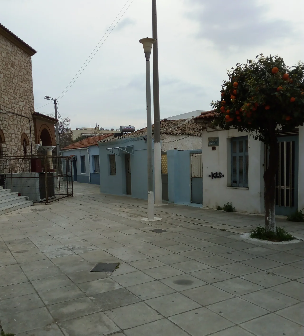

Tavros
The name is a memory of somewhere else. Tavros means bull, but here it points to the Taurus Mountains of Asia Minor, the range the suburb's first families left behind. They were refugees, survivors of the Greek genocide, who arrived on this fringe of Athens in the 1920s with little more than what they could carry and the names of the places they had lost. When their new community was renamed in 1972, they chose Tavros so that the mountains of home would have a place on the map of Greece.
Olives and Vegetable Gardens
Long before the refugees came, this was farmland. In antiquity it lay within Eleonas, the vast olive-growing district of Athens, and the olive groves endured through Ottoman rule and into the 19th century. Then the pattern shifted. Around the middle of the century, farmers traded olive trees for vineyards and orchards, and later for vegetable gardens that fed the growing city nearby. Just three kilometers southwest of central Athens and the same distance from the Acropolis, the land stayed stubbornly agricultural while the metropolis crept closer. Tavros was a place of soil and seasons, the green edge of a city that would eventually swallow it whole.
Refugees Who Built a Town
The modern suburb was born of catastrophe. After the destruction of the Greek communities in Asia Minor, families uprooted from across Anatolia were resettled here from 1922 onward, under the framework of the Lausanne Treaty negotiated by Eleftherios Venizelos, whose name the local metro station still bears. They were people of energy and resolve. By 1926 they had founded the football club Fostiras, which grew into one of the largest in the region of Attica. They replaced the old vineyards with vegetable plots and slowly turned an agricultural settlement into a neighborhood. Until 1934 the area was part of the municipality of Athens; it then became a separate community before being recognized as a municipality and given its enduring name.
The Saints They Carried
The refugees brought their faith with them, and not only in spirit. They carried relics and sacred icons across the sea and built churches to house them. At the Church of Saint George in the town center they placed fragments of saints and a revered icon of Saint Demetrius brought from a district of Istanbul. From Antalya they carried an icon of the Virgin they affectionately called Jigo-Panagia, and enshrined it in a church built by an association of fellow exiles, where it is honored each year on the Sunday of the Myrrh-bearing Women, the same feast kept in the Antalya they had left. Each church became a way of keeping a vanished homeland present, a continuity of devotion stitched across a forced migration.
The Industrial Turn
After the 1950s, Tavros changed character again. Its closeness to the central vegetable market and the industrial districts nearby pulled it toward factories and workshops, and the suburb grew dense with industry while its housing stayed thin. In 1975 a ministerial order banned livestock farming, sealing the transformation from farm to factory floor. Yet the old character has not vanished entirely. The stream of the Prophet Elijah still threads through the area, and churches like Zoodochos Pigi cluster along its banks, small reminders of the green and watered land this once was, tucked between the warehouses and the rumble of Peiraios Street, the ancient road that runs from Athens down to the harbor at Piraeus.
From the Air
Tavros lies at 37.9704 N, 23.6942 E in the southwestern Athens conurbation, about 3 km from the city center and 5 km northeast of the port of Piraeus, roughly 35 km west of Athens International Airport (LGAV / ATH). From the air it appears as a tightly built industrial and residential district threaded by Peiraios Street, the straight thoroughfare linking central Athens to Piraeus. The Acropolis stands about 3 km to the east as a navigation reference. Best viewed at low altitude; the dense built-up area blends into surrounding suburbs, so use Peiraios Street and the harbor of Piraeus to orient.
Nearby Stories
- Great Sand Beach 5 km away
- Battle of Delium 7.7 km away
- Tower of Aliartos 9 km away
- HMHS Britannic 10 km away
- Saronic Gulf 15 km away
- Sousaki Volcano 17 km away
- Sanctuary of Apollo Maleatas 24 km away
- Skyros 66 km away