Brunei's Green Jewel Across the Bay
Until 2020, getting from Brunei's capital to one of its own districts required leaving the country. Temburong, a green wedge of rainforest and rice paddies on the eastern side of Brunei Bay, was separated from the rest of the sultanate by a strip of Malaysian Sarawak. Reaching it meant either a speedboat across the bay or a drive through Limbang that involved four passport checks. Then came the Sultan Haji Omar Ali Saifuddien Bridge, a sweeping arc across the water that cut a two-hour journey to thirty minutes and stitched the nation back together. But Temburong's decades of relative isolation had already given it something the rest of Brunei lacks: over 500 square kilometers of virtually untouched primary rainforest.
The Canopy Above the World's Oldest Trees
Ulu Temburong National Park is the district's crown jewel, a protected expanse of ancient rainforest where a canopy walkway rises 250 meters above the forest floor. The park covers more than 500 square kilometers of terrain so dense and steep that much of it remains unvisited. Below the walkway, the forest drops away in layers of green -- dipterocarp giants forming the upper canopy, smaller trees filling the gaps, and a tangle of ferns, fungi, and orchids coating every surface. To the north, tiny Selirong Island provides a different kind of encounter: a mangrove ecosystem where morning mist drifts between the prop roots and mudskippers patrol the tidal flats. Bukit Patoi Recreational Park, in the district's eastern reaches, offers a 300-meter wooden boardwalk ascending a 310-meter hill, rewarding the climb with views across the Lawas Basin into neighboring Sarawak.
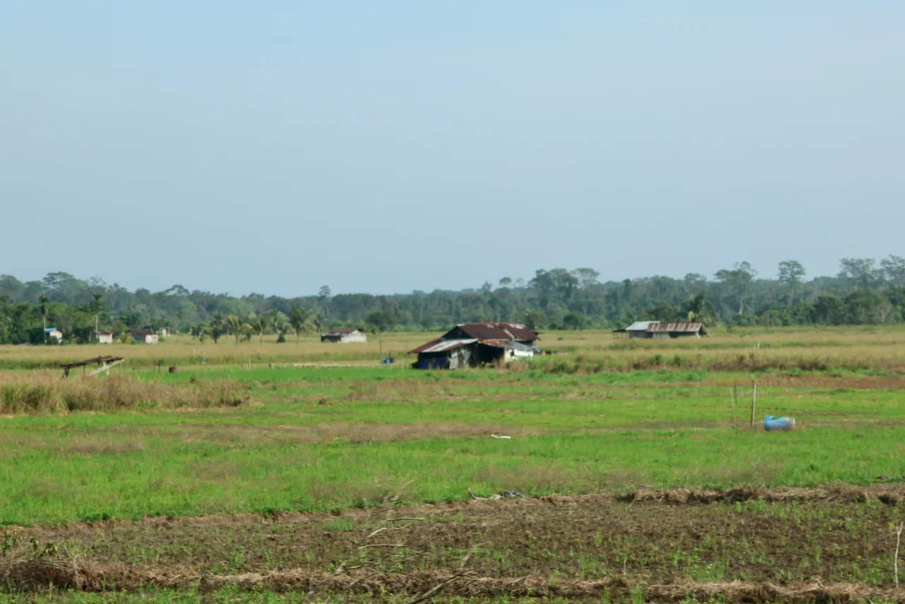
Rice, Rubber, and Mangrove Timber
Temburong is quieter than Brunei's oil-rich western districts, and its economy reflects that difference. Paddy fields spread across the lowlands at Senukoh, Selapon, and the larger Lakiun-Perdayan area, where 700 hectares produce varieties with names like Adan, Bario, Pusu, and the locally developed Beras Laila -- a high-protein rice that can be harvested twice a year. By 2008, Temburong was Brunei's second-largest rice-producing district, yielding 264 metric tons annually from just over 380 hectares. The district's mangrove forests, concentrated in the Selirong and Labu reserves, contain Brunei's greatest concentration of mangrove timber species, including Rhizophora apiculata and Xylocarpus. Selirong alone preserves 1,458 hectares of unbroken old-growth mangrove forest, while Labu holds more than 3,100 hectares. Kampong Labu Estate, once a major rubber plantation, still keeps its ancient rubber processing equipment as a quiet monument to an earlier era.
Longhouses and Cold Water Parks
The Iban longhouses of southern Temburong -- in villages like Kampong Sibut, Kampong Sumbiling Baru, and Kampong Semabat -- offer a window into communal life that persists alongside Brunei's oil wealth. Each longhouse shelters multiple families under a single roof, governed by a Tuai Rumah, or Head of the House. A ten-to-twenty-minute drive from Bangar Town, the district capital, brings visitors to these communities where rice wine and woven textiles remain part of daily practice. Nearby, Taman Aie Tenub -- its name drawn from a blend of Malay, Iban, and Murut words meaning "cold water park" -- sits along a creek in Kampong Selapon, offering shaded picnic grounds amid dense tropical vegetation. At Kampong Senukoh, the miniature waterfalls of Wasai Deraya Rimba provide natural swimming pools, their water cool enough to justify the name.
A Bridge and What It Changed
For decades, the Pandaruan River marked the practical boundary of Brunei's reach. Speedboats ran from Bandar Seri Begawan to Bangar, the district seat, but the crossing was weather-dependent and impractical for heavy cargo. The 2013 completion of the five-lane Pandaruan Bridge, spanning the river at the Sarawak border, eliminated ferry bottlenecks but still required transiting Malaysian territory. The real transformation came in 2020 with the Sultan Haji Omar Ali Saifuddien Bridge across Brunei Bay, the longest in Southeast Asia at the time of its construction. It reduced travel to Temburong by 75 percent and, for the first time, allowed Bruneians to reach every part of their country without a passport. The bridge has brought new development pressures, but Temburong's national park protections and mangrove reserves provide a buffer. The district that isolation once preserved is now betting that connection will not cost it the wilderness that makes it irreplaceable.
From the Air
Located at 4.58N, 115.17E in eastern Brunei, separated from the mainland by Brunei Bay. Ulu Temburong National Park is visible as a dense green expanse in the southern portion of the district. The Sultan Haji Omar Ali Saifuddien Bridge crossing Brunei Bay is a prominent landmark from altitude. Nearest airports: Brunei International Airport (WBSB) approximately 40 km northwest. Recommended viewing altitude: 5,000-10,000 ft for bridge and bay overview; lower for rainforest canopy detail. Tropical climate with frequent afternoon cloud buildup.
Nearby Stories
- The Island That Changed Hands 10 km away
- Where the River Meets the Sea 13 km away
- Kelabit Highlands 33 km away
- The Ants of Borneo 41 km away
- Sabah State Railway 48 km away
- Starcevich Monument 77 km away
- Sebatik Island 237 km away
- Luconia Shoals 253 km away