Sebatik Island
In the village of Sungai Haji Kuning, on a small island off the east coast of Borneo, a single house sits in two countries at once. One room is in Malaysia, the other in Indonesia, and tourists come to stand in both nations simultaneously. It sounds like a novelty, but on Sebatik Island, the absurdity of the border is the point. There is no immigration office here, no customs house, no barbed-wire fence, no wall. The international boundary between two of Southeast Asia's largest nations is marked by nothing more than concrete piles buried at one-kilometre intervals from east to west.
One Island, Two Nations
Sebatik sits between Cowie Bay to the north and Sibuku Bay to the south, covering approximately 452 square kilometres. The line of latitude at roughly 4 degrees 10 minutes north cleaves the island in two. The northern half belongs to Sabah, Malaysia, with a population of about 25,000. The southern half falls under North Kalimantan, Indonesia, where some 47,571 people were counted in the 2020 census. The town of Tawau lies just across the water to the north, making the Malaysian side of Sebatik part of Tawau's administrative orbit. On the Indonesian side, smallholder farmers grow cocoa and sell it across the invisible line into Malaysia. Commerce, like daily life, flows without regard for the boundary that diplomats in distant capitals once drew on a map.
Where the Line Runs Out
The border between Indonesia and Malaysia does not end neatly at Sebatik's eastern shore. It simply stops, leaving the ownership of Unarang Rock and the surrounding maritime territory ambiguous. This gap in the cartography has fueled real consequences. Since 2005, the Ambalat region east of the island has been the center of an active maritime dispute, with both nations claiming the waters and the crude oil deposits beneath them. The same border ambiguity triggered a longer dispute over Sipadan and Ligitan, two islands south of the dividing latitude but administered by Malaysia. The International Court of Justice settled that question in 2002, awarding both islands to Malaysia. But at Sebatik's eastern edge, the line still fades into open water and unresolved questions.
Contested Ground
Sebatik has not always been so quiet. During the Indonesia-Malaysia Confrontation from 1963 to 1966, the island became a flashpoint. Indonesian troops contested the territory against Malaysian forces and their Commonwealth allies. Naval vessels including HMS Manxman were dispatched to defend the Malaysian side. The jungle-covered hills that dominate the island's interior provided cover for both sides in a conflict that remained largely undeclared but was deeply felt in communities like Sebatik's. Before the political tensions, the North Borneo Timbers company operated a logging concession on the island through the 1980s, and its expatriate workers built a self-contained settlement in Wallace Bay, a pocket of colonial-era industry in the tropical forest.
Swimming Between Sovereignties
Perhaps nothing captures Sebatik's strange duality better than the North Sebatik Swimming Pool, a public pool in the border area of Pancang that straddles the international line. Swimmers can, in theory, do laps between nations. Combined with the Two Country House, these oddities have made Sebatik a minor curiosity for travelers willing to venture to this remote corner of Borneo. The island also sits approximately 175 kilometres from Sitangkai in Tawi-Tawi, the Philippines, making it one of the closest points between Indonesia and the Philippine archipelago. In this triangle of nations, Sebatik exists at the margins of each, belonging fully to none and quietly to all.
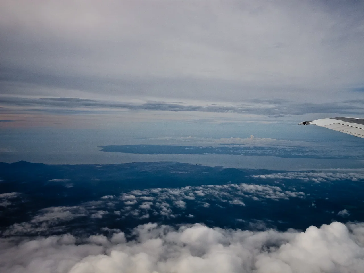
From the Air
Sebatik Island (4.14°N, 117.79°E) is visible as a distinct green landmass southeast of Tawau, bordered by Cowie Bay to the north and Sibuku Bay to the south. From altitude, the island's divided nature is invisible but the surrounding waters of the Celebes Sea provide a striking contrast. Nearest airport is Tawau Airport (WBKW). Recommended viewing at 5,000-8,000 feet for full island perspective.
Nearby Stories
- Tun Sakaran Museum 17 km away
- Sipadan 17 km away
- Madai Cave 42 km away
- Ambalat 43 km away
- 2006 Southeast Asian Haze 69 km away
- Maliau Basin 75 km away
- North Borneo 133 km away
- The Unmapped Heart of Borneo 226 km away