Ambalat
Somewhere in the Celebes Sea, off the east coast of Borneo, lies a stretch of deep water that both Indonesia and Malaysia insist is theirs. No island breaks the surface to settle the question -- just a rocky outcrop called Takat Unarang that barely emerges at low tide and disappears entirely when the water rises. Beneath this contested, mostly empty ocean sit an estimated 62 million barrels of oil and 348 million cubic meters of natural gas. Other estimates place the reserves substantially higher: 764 million barrels of oil and 1.4 trillion cubic feet of gas, in only one of nine surveyed points. This is Ambalat, where colonial treaties, international courts, and naval standoffs have all failed to answer a simple question: whose oil is it?
The Map That Started a Dispute
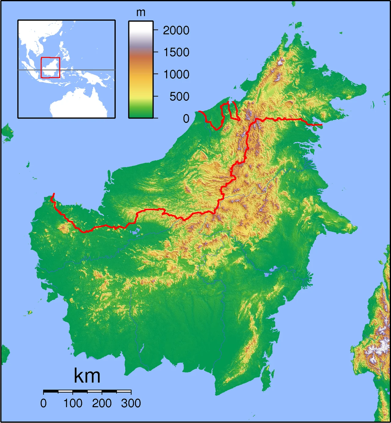
The modern conflict traces to 1979, when Malaysia published a map of its territorial waters and continental shelf that drew a maritime boundary running southeast through the Celebes Sea from the eastern tip of Sebatik Island. The line enclosed the Ambalat blocks -- designated ND6 and ND7 by Malaysia -- within Malaysian territorial waters. Indonesia objected immediately. From Jakarta's perspective, the boundary was established by treaties between the British and Dutch colonial powers: specifically, the 1891 Convention that drew the border along the 4 degrees 10 minutes North parallel across Sebatik Island, and the 1915 Agreement that refined the land boundary through channels and watersheds. Indonesia maintains that these historical agreements placed the maritime boundary as a straight eastward continuation of the land border, putting the entire Ambalat block on the Indonesian side. Every ASEAN neighbor who saw the 1979 map rejected it. Malaysia published it anyway.
The Court Ruling That Resolved Nothing
In 2002, the International Court of Justice awarded the nearby islands of Sipadan and Ligitan to Malaysia, ruling on the principle of "effective occupation" over Indonesia's argument from historical treaties. Indonesia lost the case but gained a legal argument: the ICJ decision explicitly had no bearing on the maritime boundary in the Celebes Sea. The sovereignty of two small islands did not determine who owned the seabed between them. Following the ruling, Indonesia amended its baselines, removing Sipadan and Ligitan as reference points and redrawing from Sebatik Island to Takat Unarang and three other points to the southeast. Malaysia contended that Takat Unarang was nothing more than a submerged rock, not a valid basepoint under the Law of the Sea Convention. The technical argument over what constitutes a rock, an island, and a low-tide elevation became the proxy for a dispute worth billions.
Dueling Oil Concessions
Both nations have awarded petroleum exploration rights in the same waters to different companies, creating overlapping claims with real money behind them. Indonesia moved first: Royal Dutch Shell received the Ambalat Block in 1999, with Italian company ENI taking over operatorship in 2001. American company Unocal was awarded the East Ambalat Block in 2004. Malaysia responded in February 2005, when Petronas awarded Production Sharing Contracts for Blocks ND6 and ND7 to Shell and Petronas Carigali, committing a minimum of $50 million to seismic surveys and wildcat drilling across 25,700 square kilometers of disputed seabed. Shell ended up with contractual obligations to both countries in the same waters. The dueling concessions transformed a territorial dispute into an active commercial conflict, with exploration crews and survey vessels from both sides operating in overlapping zones.
Warships in the Celebes Sea
The Ambalat dispute has repeatedly come close to armed confrontation. In February 2005, Malaysian forces interrupted Indonesian construction workers building a light beacon on Takat Unarang, arresting and later releasing them. Indonesia announced plans to build twenty lighthouses in the area -- sovereignty declared through navigation infrastructure. By May 2009, Indonesia accused Malaysia of violating its maritime boundary nineteen times in a single month. On 25 May, a Malaysian fast-attack vessel entered waters Indonesia considered its own at 12 nautical miles from the coast. The commander of the Indonesian corvette KRI Untung Surapati, Captain Salim, ordered combat readiness after two warnings were ignored. The Malaysians withdrew. Indonesia stationed seven of thirty warships from its Eastern Fleet Command on active notice in the area. Since 1980, Indonesia has submitted thirty-six diplomatic notes of protest to Malaysia over maritime violations. The dispute remains unresolved, its final answer still lying somewhere between international law, colonial history, and the oil beneath the sea.
From the Air
Located at approximately 3.80N, 118.85E in the Celebes Sea, east of Borneo. This is an open-water area with no significant islands visible -- Takat Unarang is a low-tide rocky outcrop barely visible even from low altitude. Sebatik Island, split between Indonesia and Malaysia, lies to the northwest and serves as a key visual reference. Nearest airports are Tarakan (WAON) on the Indonesian side and Tawau (WBKW) on the Malaysian side. The area is characterized by deep blue open water with potential naval vessel activity.
Nearby Stories
- Kapalai 41 km away
- Malaysia Airlines Flight 2133 51 km away
- Indonesia-Malaysia Border 63 km away
- Tawau Bell Tower 84 km away
- 2006 Southeast Asian Haze 99 km away
- Sheikh Karimul Makhdum Mosque 101 km away
- Tawi-Tawi 169 km away
- Cutting the Orchid in Half: The Proposed Sulawesi Canal 412 km away