Cutting the Orchid in Half: The Proposed Sulawesi Canal
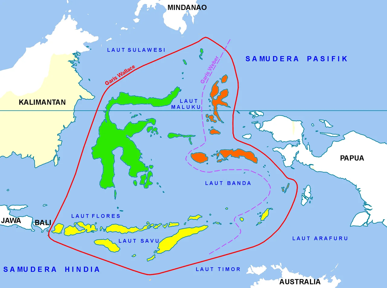
Look at Sulawesi from above and the idea practically draws itself. The island's distinctive K-shape -- four long peninsulas radiating from a mountainous core -- creates a geographic bottleneck where the northern and central arms nearly pinch together. At its narrowest, this neck measures just 18 kilometers, a thin bridge of land separating the Gulf of Tomini to the east from the Makassar Strait to the west. Since the early 2000s, Indonesian politicians and planners have looked at that sliver of terrain and seen the same thing: a canal. Not just any canal, but an equatorial shortcut that could redraw the maritime map of Southeast Asia.
A Governor's Vision
The idea first gained political traction in 2008, when Fadel Muhammad, then Governor of Gorontalo province, proposed it during a meeting of Sulawesi governors in Palu. The concept was straightforward: cut a navigable channel through the neck and ships traveling between eastern and western Indonesia could avoid the long route around Sulawesi's peninsulas. Fadel Muhammad rose to become Minister of Maritime Affairs and Fisheries and brought the proposal directly to President Susilo Bambang Yudhoyono. The national planning agency Bappenas and the Ministry of Marine Affairs and Fisheries developed a strategic plan, integrating the canal with broader management of Tomini Bay. Dr. Hasanuddin Atjo, head of the Central Sulawesi Marine and Fisheries Service, championed the project within the framework of the MP3EI, the national masterplan for economic development. But political will and engineering reality are different currencies. No construction ever began.
The Idea That Keeps Resurfacing
Indonesian infrastructure ambitions have a way of cycling through periods of enthusiasm and dormancy, and the Sulawesi Canal has followed this pattern faithfully. In January 2015, Gorontalo's new governor, Rusli Habibie, revived the proposal while presenting regional development plans at the Ministry of Maritime Affairs and Fisheries. He framed the canal as critical infrastructure for ALKI II, one of Indonesia's designated sea route corridors linking the archipelago's western and eastern halves. Four years later, in August 2019, politician Ahmad Ali of the NasDem Party raised the canal again in the People's Representative Council, this time tying it to a different ambition entirely: President Joko Widodo's proposal to relocate Indonesia's capital from Jakarta to the new planned city of Nusantara on Kalimantan, just across the Makassar Strait. With the capital moving east, Ali argued, a Sulawesi canal would become the natural gateway for cargo flowing from the Banda Sea fisheries, the Morowali steel complex, and the clove and crop harvests of Timor and Maluku.
Strait and Gulf
The two bodies of water the canal would connect could hardly be more different in character. The Makassar Strait, running between Borneo and Sulawesi, is one of the busiest maritime corridors in the Indo-Pacific, carrying tankers, container ships, and naval vessels between the Celebes Sea to the north and the Java Sea to the south. The Gulf of Tomini, by contrast, is a quieter equatorial embayment that separates Sulawesi's northern and eastern peninsulas, its waters rich with fisheries but relatively untouched by heavy commercial shipping. Connecting them would mean routing international maritime traffic through the heart of Sulawesi -- a prospect that carries implications for everything from the LNG shipments out of the Donggi Senoro facility in Luwuk, Banggai, to the fishing communities that depend on Tomini's relative calm.
The Gap Between Dream and Dredge
The comparisons to other proposed megaprojects are telling. The Sulawesi Canal draws obvious parallels to the Thai Canal, a long-debated plan to cut across the Kra Isthmus and bypass the Strait of Malacca, and to the never-realized Nicaragua Canal. All share a similar pattern: clear geographic logic, persistent political advocacy, and an engineering challenge that grows more daunting with each feasibility study. Sulawesi's neck is not flat farmland. The Palu-Koro Fault, one of the most active strike-slip faults in the world with a slip rate of 42 millimeters per year, runs through this exact region. The 2018 Palu earthquake, which killed more than 4,300 people, ruptured along this fault system. Building a navigable canal across an active tectonic boundary, in mountainous tropical terrain, through a seismically volatile corridor, represents an engineering challenge of a different order than the political speeches suggest. For now, the Sulawesi Canal remains what it has been for two decades: an idea with geographic elegance and political appeal, waiting for the moment when ambition, funding, and engineering confidence converge.
From the Air
The proposed canal route crosses the neck of Sulawesi at approximately 0.16S, 120.00E, near the equator. From altitude, the narrowing of the island between the Gulf of Tomini (east) and the Makassar Strait (west) is clearly visible -- the neck is only about 18 km wide at its narrowest point. The nearest major airport is Mutiara SIS Al-Jufrie Airport (WAML) in Palu, approximately 80 km to the south. Kasiguncu Airport (WAMP) in Poso lies to the southeast. The Palu-Koro Fault is traceable as a linear valley. Kalimantan (Borneo) is visible across the Makassar Strait to the west. Best viewed at 20,000-30,000 feet to appreciate the island's K-shape and the strategic narrowness of the neck.
Nearby Stories
- New Year's Rupture: The 1996 Sulawesi Earthquake 44 km away
- Central Sulawesi: Where the Earth Remembers 86 km away
- Mount Colo: The Volcano That Saved an Island 114 km away
- The Invisible Wall of Makassar Strait 161 km away
- Badak LNG: Borneo's Gas Giant 231 km away
- Kakaban 245 km away
- Otanaha Fortress 273 km away
- Kutai: Where the Rainforest Holds the Line 311 km away