Tawau Bell Tower
The bell is gone. No one knows exactly when it vanished or where it went, but the tower that once held it still stands on a street corner in Tawau, pointing toward the Celebes Sea in one direction and the interior of Borneo in the other. Built in 1921, the Tawau Bell Tower is the oldest surviving structure in a town that has been bombed, burned, and rebuilt more than once. That it endures at all is something of a minor miracle - and something of a mystery, much like its missing bell.
A Monument Between Allies
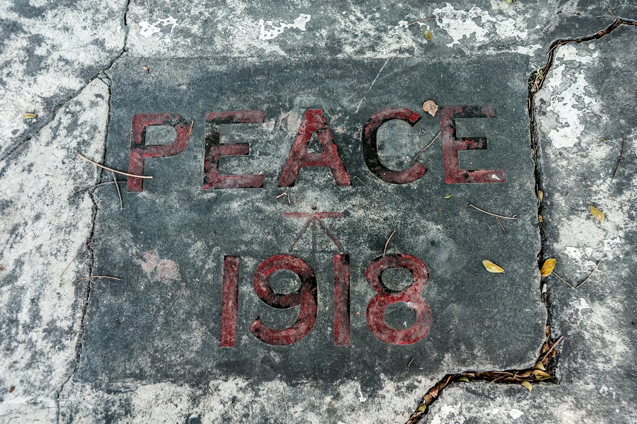
In 1921, Japan and Great Britain were allies. The Anglo-Japanese Alliance, first signed in 1902, had bound the two empires together through World War I, and the Japanese community in North Borneo's Tawau had prospered under British colonial administration. To commemorate the armistice of 11 November 1918, Japanese businessmen in Tawau funded the construction of a bell tower - a belfry - using prison labor and their own contributions. The tower was a gesture of solidarity between two imperial powers that had, for the moment, found common cause. Within two decades, that alliance would dissolve, and Japanese forces would occupy Tawau as part of a very different war. But the tower the Japanese built as allies survived the occupation they imposed as conquerors.
The Vanishing Bell
Sometime before the tower fell into disrepair, its bell disappeared. The circumstances remain unclear - whether it was removed during the Japanese occupation, lost in the Allied bombing that razed much of Tawau in 1944, or simply taken by someone who saw an opportunity. Local legend offers competing explanations, none confirmed. What remains is a bell tower without a bell, a memorial stripped of its voice but not its presence. The structure deteriorated over the decades, standing abandoned in a town that grew around it, nearly forgotten. By the early 2000s, it was close to collapse.
The Center of Everything
Embedded in the tower is a surveyor's benchmark - the fixed point from which Tawau's elevation above sea level is measured and the starting distance to every other place in the district. It is, in the literal language of cartography, the center of Tawau. East from the tower runs Dunlop Street, leading to Kuhara Road - named for Fusanosuke Kuhara, the Japanese industrialist whose plantation once dominated the area. South faces the Celebes Sea. West leads to Tanjung Batu Road, and north to Merotai Road and the interior. Every direction from this small, battered structure leads somewhere worth going.
Rescued by the Rotary Club
In 2006, the Rotary Club of Tawau stepped in with funds to restore the tower before it could crumble entirely. The restoration preserved the structure that Japanese settlers had built as British subjects, that Japanese soldiers had overlooked as occupiers, and that Allied bombers had somehow missed when they leveled the surrounding town. It stands now as a quiet monument to the complexity of Tawau's layered history - Japanese, British, Malaysian, each era leaving its mark. The bell has never been found. But the tower holds its benchmark, and the roads still radiate outward from its base, measuring distance from a point where three languages and five generations of history converge on a single cornerstone.
From the Air
Located at 4.245N, 117.881E in central Tawau, near the waterfront facing the Celebes Sea. The bell tower is a small ground-level structure, not visible from high altitude, but the town's grid of streets radiating from its location can be identified. Tawau Airport (WBKW) is approximately 3 km northeast. Best viewed from low altitude on approach. The Celebes Sea coastline and Cowie Bay define the southern edge of the town.
Nearby Stories
- Skull Hill, Malaysia 22 km away
- Tun Sakaran Marine Park 25 km away
- Madai Cave 28 km away
- Ambalat 50 km away
- Maliau Basin 65 km away
- 2006 Southeast Asian Haze 86 km away
- North Borneo 115 km away
- The Secret War in Borneo's Jungle 201 km away