
The Naze
The cliff edge is closer than it was last year. By about two metres. The Naze, a headland projecting into the North Sea on the Essex coast just south of the Stour-Orwell double estuary, is eroding at one of the most dramatic rates in southern England, and the brick lighthouse perched on its highest point has spent the last two centuries inching steadily toward the sea. The name itself comes from Viking-era Old English: naess, meaning ness, promontory, headland. In 1722 Daniel Defoe came through and called the nearby town 'Walton, under the Nase' - already, three hundred years ago, registering that this was a place defined by the land jutting out from it.
The Tower on the Cliff
The Naze Tower is a tall brick column raised to its present height in 1796 as a daymark and lighthouse, helping vessels fix their position along this featureless stretch of Essex coast. It was pressed into military service during the Napoleonic Wars and again in the First World War, both times as a naval signal station. In the Second World War the Royal Air Force built a Chain Home Low radar station on the Naze to track German warships and low-flying aircraft, and in 1942 extended the installation to incorporate the old tower itself. The relevant records sit in the WO, AVIA 7, and AIR 26 series at the National Archives in Kew - a paper trail of a brick tower repurposed across two centuries of British conflict.
Wings on the Wind
Birds use the Naze as a waypoint. The peninsula sits on a migration route important enough that birdwatchers time visits to it, scope cases swinging from their shoulders. The marshes of Hamford Water just behind the town add another layer to the spectacle: wintering ducks rest there in numbers, and brent geese - those small, dark-bellied travellers that breed in the Russian Arctic - arrive each autumn to graze the saltmarsh. A small nature reserve protects part of the Naze itself. On any given migration day in spring or autumn, the headland fills with people standing very still, looking through binoculars at something the rest of us would miss.
Two Metres a Year
The cliffs at the Naze are made of soft London Clay topped with a sandier layer, and the North Sea attacks both. Roughly two metres of cliff disappears each year. The Naze Protection Society was formed to campaign for sea defences. Schools across the region bring pupils here for fieldwork on coastal erosion - the Naze has become a kind of outdoor classroom for British geography teaching, with each generation of students measuring how much closer the tower has come to the brink. In 2010 a rock armour revetment was built directly in front of the tower, which has stopped the cliff there from retreating. But to the north, the unprotected cliff continues to erode. If the revetment is not periodically extended, the sea will outflank it and resume its advance on the tower.
What Remains
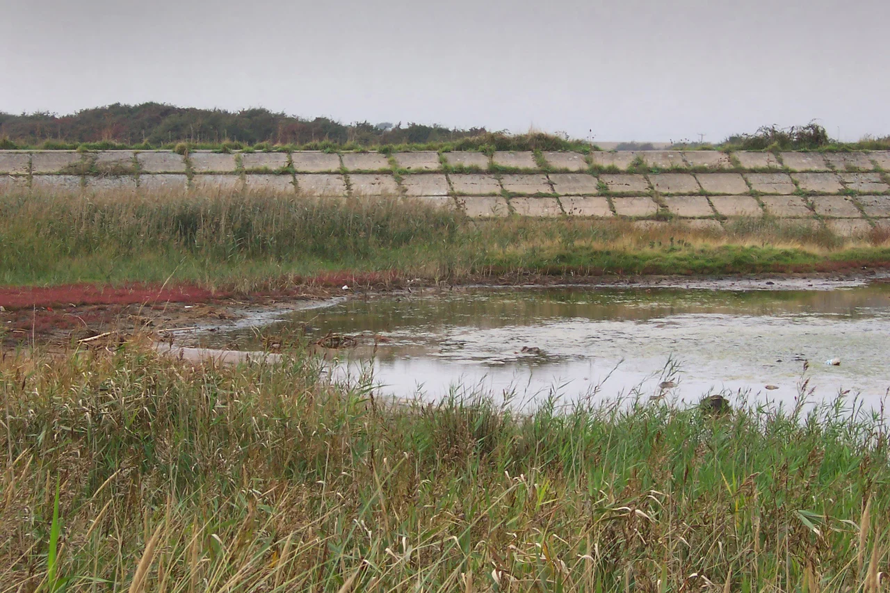
Walk the cliff path on a winter afternoon and the wind comes off the sea hard enough to make your eyes water. Below, sea wall, riprap, groynes, and a permeable groyne are stacked in defensive sequence - the modern coast as a layered engineering response to a single, patient adversary. The cliff face shows the layers too: London Clay at the bottom, the Red Crag above, fossil-rich and beloved of amateur palaeontologists who comb the beach after each storm for shark teeth and ancient shells. Above all of it stands the tower, still on its high point, still doing its centuries-long work of marking the place. How long it can hold that ground is a question with a published rate of answer.
From the Air
Coordinates 51.87 N, 1.28 E, a headland on the Essex coast projecting east into the North Sea, just south of the double estuary of the Stour and Orwell at Harwich. From the air, the Naze reads as a small but prominent point with the town of Walton-on-the-Naze immediately to the south. The brick tower is visible on the high point. Nearest major airport is London Southend (EGMC) about 25 nautical miles south-west; London Stansted (EGSS) is 45 nm west. Best viewed at lower altitudes to see the eroding cliff line and the patchwork of sea defences arrayed against it.
Nearby Stories
- Ickworth House 3.6 km away
- Framlingham 7.9 km away
- Castle Hedingham 8.6 km away
- Battle of Assandun 8.6 km away
- Margate Surfboat 33 km away
- 1382 Dover Straits Earthquake 41 km away
- Four Days' Battle 48 km away
- Battle of Lowestoft 85 km away