.jpg)
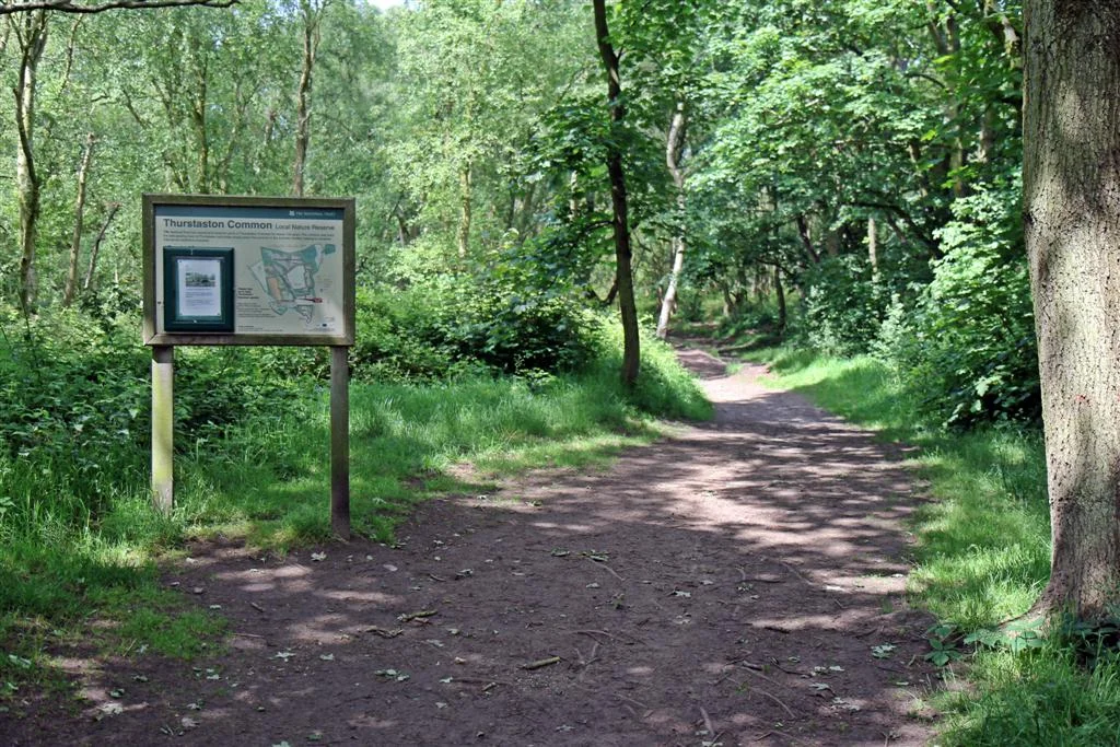
Thurstaston Common
From the top of Thurstaston Hill the world opens out in two directions at once. Eastward, the Wirral plain rolls toward Liverpool with the Mersey somewhere beyond. Westward, the Dee Estuary spreads silver and tidal toward the Welsh coast, and on a clear afternoon you can pick out the Clwydian Hills rising blue and serrated above the far shore. The hill itself is only 298 feet above sea level - by mountain standards nothing - but the Wirral peninsula is so flat that those 298 feet feel like a small revelation. Below your boots is heather and bilberry and outcropping red sandstone, 250 acres of common land jointly looked after by the National Trust and Wirral Council, sliced through with footpaths and bridleways.
The Tor That Wasn't a Carving
The most striking thing on the common is a knot of weathered red sandstone known locally as Thor's Stone. For a long time, the assumption was that Vikings had carved it - this corner of Wirral was certainly part of a Norse settlement zone centred on nearby Thingwall (the name means "assembly field" in Old Norse) in the tenth and eleventh centuries. The romantic interpretation has the stone as a sacrificial altar to Thor. Modern geology has been quieter and less satisfying about it. The current consensus is that the rock is a natural tor, shaped by periglacial weathering of the Triassic sandstone during the last ice age - frost, water, and time doing the work of imagined axes. Quarrymen in the eighteenth and nineteenth centuries then chipped at it for building stone, leaving the strange angular faces that look so deliberate. The Vikings did walk here. They just did not carve this rock.
A Habitat in Layers
Underneath the heath is a single sheet of Triassic sandstone, a relic of the era when this latitude lay in a hot, arid continental interior. On top of that bedrock the common stacks habitats in unexpected variety. Dry heath dominated by heather and gorse covers the higher ground. Where peat collects in hollows, the ground turns spongy and acidic and supports cottongrass, bog asphodel, and two species of sundew - tiny carnivorous plants that catch midges on sticky red leaves. Birch and oak woodland rims the edges. Sparrowhawks and tawny owls hunt here. Both great spotted and the much rarer lesser spotted woodpecker drum in the trees. Linnets and redpolls flicker through the gorse. It is the sort of place where the difference between wet and dry, between sun and shadow, between sandstone and peat, is measured in feet rather than miles - which is part of why it was designated a Site of Special Scientific Interest.
A Place for Sunday Boots
Thurstaston Common has the feel of a place generations of Merseyside families have known by heart. School Lane runs into it from one side, a tarmac path delivering pushchairs and toddlers to the heath. Royden Country Park sits just to the south with car parks, toilets, and easier ground for picnics. From the summit on a good day you can see north past Arrowe Park toward Liverpool's two cathedrals, west to the lighthouse at Point of Ayr on the Welsh side of the Dee, and almost straight down to the tide working its way in or out of the estuary. The common is at its best in late summer when the heather flowers a smoky purple, and in winter when frost rims the gorse and the views from Thurstaston Hill sharpen to glass. It is small enough to walk in an hour, large enough to disappear into.
From the Air
Thurstaston Common sits at 53.355 degrees north, 3.135 degrees west, on the western shoulder of the Wirral peninsula about five miles south of Liverpool Bay. The Dee Estuary lies immediately to the west; the Mersey to the east. Thurstaston Hill (90 metres, 298 feet) is the highest point and the most obvious visual landmark from low altitudes. Liverpool John Lennon Airport (EGGP) is about ten nautical miles east-southeast across the peninsula. RAF Hawarden / Hawarden Airport (EGNR) is about thirteen nautical miles southwest across the Dee. Recommended viewing altitude 1,500 to 2,500 feet to pick out the heath, the sandstone outcrops, and the line of the estuary.
Nearby Stories
- RAF Wrexham 3.3 km away
- Birkdale Palace Hotel 3.7 km away
- Turton Tower 4.1 km away
- Tatton Park 5.6 km away
- Abergele Rail Disaster 9.6 km away
- Diglake Colliery Disaster 13 km away
- Ysbyty Ifan 16 km away
- Celtic Array 62 km away