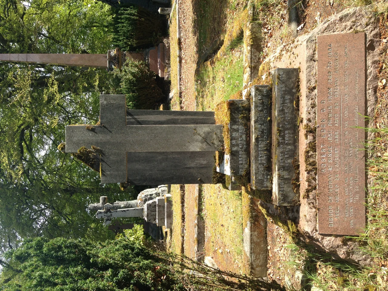

Tomnahurich Cemetery
The name has been mistranslated for so long that the wrong meaning has almost won. Tomnahurich - tom na h-iubhraich - means "hill of the yew wood" in Scottish Gaelic, as the scholar William J. Watson nailed down in 1926 in his Celtic Place-Names of Scotland. He is buried up there himself now, under a fine monument, surrounded by the trees he wrote about. But for generations people in Inverness preferred the other story: that Tomnahurich was the hill of the sithichean, the fairies, and that anyone who fell asleep on its summit risked waking a hundred years later or not at all. Watson was technically correct. The fairies, in folk memory, were never quite evicted.
The Hill Before the Graves
For most of its existence the hill was not a cemetery at all. It rises sharply out of the flat Ness Valley between the Caledonian Canal and the river, 70 metres high with a topographic prominence of 53 - small as hills go, but unmistakable on a plain. Before the Victorians turned it into a necropolis, locals turned it into a racecourse. Every 24th and 25th of May an annual horse race ran around the base, the hill itself serving as natural grandstand. The soil was reckoned too poor for crops, so in 1753 the slopes were planted with Scots pine - Pinus sylvestris - which is most of what you still see today. The English naturalist Thomas Pennant climbed it during his Highland tour of 1769 and wrote down the name as Tommin heurich, getting closer to the Gaelic than later mapmakers would manage.
Big Angus and the Fairies
Even though Watson the philologist was right about the yews, the folk imagination kept circling back to the fairies. There is a Gaelic tale, Aonghas Mor Thom na h-Iubhraich agus na Sithichean - "Big Angus of Tomnahurich and the Fairies" - in which the hero either bargains with the fair folk on the hill or is stolen away by them, depending on which teller you trust. Stories like this attached themselves to prominent hills all over the Highlands, and Tomnahurich, sitting alone above the river like a green island, was a natural anchor. The Brahan Seer, that most famous of Highland prophets, was supposed to have foretold that ships would one day sail behind the hill - a baffling prediction until the Caledonian Canal opened in 1822 and they did exactly that.
The Victorian Necropolis
In the second half of the nineteenth century the Inverness Cemetery Company, a joint-stock venture in the Victorian fashion, bought the hill and turned it into the city's principal burial ground. It opened in 1864. The design is attributed to the Glasgow art teacher Charles Heath Wilson, though much of the actual layout was done by George Grant Mackay, a Scottish civil engineer. They worked with the topography rather than against it: the formal graveyard sits on the upper plateau, a Lower Cemetery wraps around the foot of the hill, and footpaths thread between the two through the pines. A war memorial stands on the summit. The lodge at the main entrance, all turret and Gothic Revival sandstone, was added in 1877 by Alexander Ross, Inverness's busiest Victorian architect. The Borough of Inverness took the cemetery over in 1909.
What the Summit Sees
The view is the point, or one of them. From the top of Tomnahurich the city lies spread out below: the spires of Inverness, the curve of the river, the green wedge of the Black Isle pushing north into the Moray Firth, and on a clear day the Monadhliath rising blue in the south. Birds nest in the pines. During the Second World War crews removed iron railings and chains from the older graves to feed munitions drives, leaving stone foundations bare where ornamental ironwork used to be. The Commonwealth War Graves Commission maintains the war plots. You can stand at Watson's monument, look out over the valley he spent his life naming, and decide for yourself whether you believe the yews or the fairies.
From the Air
Tomnahurich Hill sits at 57.468°N, 4.243°W, about 1.5 km southwest of central Inverness. From the air it is unmistakable: a steep wooded mound between the dead-straight line of the Caledonian Canal and the meandering River Ness. Inverness Airport (EGPE) lies roughly 9 miles northeast at Dalcross. Recommended viewing altitude 2,000-3,500 ft AGL for a clear sense of the hill's prominence above the flat valley floor. In poor weather low cloud often hangs over the Great Glen, but Tomnahurich's pines stay visible until visibility drops below about 2 miles.
Nearby Stories
- Evanton 3.4 km away
- Glendoe Hydro Scheme 11 km away
- Corrieshalloch Gorge 13 km away
- Cairngorm Plateau Disaster 13 km away
- Glen Affric 15 km away
- Moray Firth Fishing Disaster 16 km away
- Strathspey Railway (preserved) 17 km away
- Stand-off at the Fords of Arkaig 20 km away