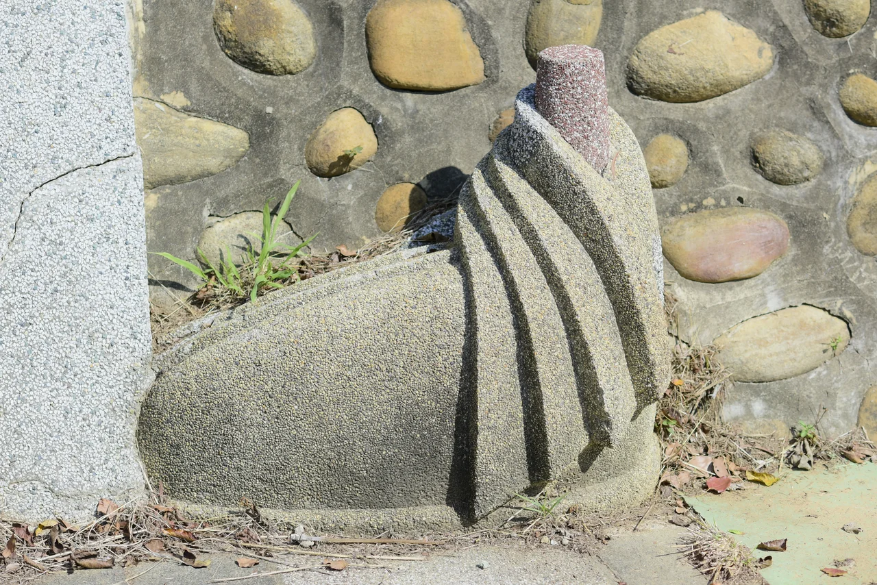

Tongxiao Shrine
Three flags have flown over the hill above Tongxiao Station. First came the torii gates and the prayers of Japanese colonial settlers, then the Republic of China's martial scroll of martyrs, and finally the image of Koxinga — the seventeenth-century admiral who remains Taiwan's most potent symbol of resistance and continuity. The Tongxiao Shrine did not survive intact through these transformations. It was remade each time, its meaning rewritten by whoever held the island. That layered quality — Shinto, then nationalist, then heroic — is exactly what makes it worth climbing the hill to see.
Built for the Empire
The shrine was constructed in 1937, near the end of fifty years of Japanese colonial rule. Japan built hundreds of Shinto shrines across Taiwan during that period, a deliberate act of cultural projection: the sacred architecture of the home islands transplanted into tropical soil, meant to remind both colonizers and the colonized of who held authority. Tongxiao's shrine stood on a hillside northeast of the town railway station, framed by trees and elevation — the classic siting for a Japanese sacred space. Worshippers climbed to it. The height itself was part of the meaning.
A New Purpose After Retrocession
When Japan surrendered in 1945 and Taiwan passed to the Republic of China, the landscape of meaning shifted overnight. Shinto shrines became awkward inheritances — spaces designed for a spiritual tradition that now carried the weight of colonialism. In 1947, just two years after retrocession, the mayor of Tongxiao made a pragmatic and politically charged decision: the main hall would be renovated and rededicated as the Tongxiao Zhonglie Shrine, a place to honor Republic of China Armed Forces who died in World War II. The torii posts and Shinto forms gave way to the tablets and incense of a Chinese martyr's hall. The hill remained sacred, but it now carried a different grief.
The Earthquake and the Restoration
On 21 September 1999, a magnitude-7.6 earthquake struck near the town of Jiji, roughly one hundred kilometers to the south. The tremor reshaped central Taiwan in minutes — collapsing buildings, cracking roads, and damaging hundreds of historical structures. The Tongxiao Shrine was among them. For three years it stood in damaged form until the government, recognizing its layered significance, designated it a historical monument in 2002 and funded its restoration. The repair work went beyond patching walls. It was an acknowledgment that the shrine, for all its complicated origins, had become part of the physical memory of the county.
Koxinga and the Martyr's Shrine Today
The shrine's final reinvention gave it its current identity: a Martyr's Shrine honoring Koxinga, known in Chinese as Zheng Chenggong. Koxinga was the Ming loyalist general who expelled the Dutch East India Company from Taiwan in 1662 and established the island's first Chinese-governed state. His image carries enormous symbolic weight in Taiwan — a man who refused surrender, who crossed the strait and planted his flag on contested ground. For a shrine that began under foreign rule, then commemorated soldiers who died in a world war, the choice to center Koxinga feels like a deliberate closing of a circle: sovereignty reclaimed, history honored.
Walking Up from the Station
The shrine remains accessible on foot from Tongxiao Station on the Taiwan Railway — a short walk northeast through the town. The approach is unhurried and residential, the kind of walk that ends with a view. From the elevated platform, the surrounding agricultural flatlands of Miaoli open up in a wide, green arc. The coastal hills press in from the west. On clear days the atmosphere carries the particular softness of the western Taiwan lowlands, where the land slopes gradually toward the Taiwan Strait. There is no crowd here, no entrance queue. The shrine sits quietly above its town, accumulating history without fanfare.
From the Air
The Tongxiao Shrine sits at approximately 24.492°N, 120.683°E on a hillside northeast of Tongxiao Station, Miaoli County, Taiwan. From the air at 2,000–3,000 feet, the elevated hilltop site is distinguishable against the surrounding flat agricultural land. The nearest airport is Taichung International Airport (RCMQ), approximately 45 km to the south. The Taiwan Strait coastline lies roughly 5 km to the west, making the hill an effective orientation landmark flying along the western corridor.
Nearby Stories
- Fengyuan Museum of Lacquer Art 1.6 km away
- Chiang Kai-shek Statues 6.3 km away
- Smangus 7.6 km away
- Taroko National Park 11 km away
- Hsinchu Museum of Military Dependents Village 21 km away
- Taiwan Strait 31 km away
- Taixi, Yunlin 62 km away
- China Airlines Flight 611 82 km away