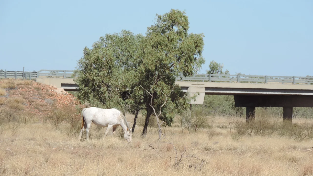

Tree of Knowledge, Camooweal
Before phones and bulletins, news travelled by horseback and lived under a tree. On the floodplain just west of Camooweal stands an unremarkable-looking coolibah - eight metres tall, its trunk scarred, set back far enough from the Georgina River to stay dry when the water comes up. For generations of drovers and teamsters working the great stock routes between Burketown, Cloncurry, and the Northern Territory, this particular tree was where you stopped. In its shade, men resting their stock and their horses shared a billy of tea and everything they knew about the country ahead. They called it the Tree of Knowledge, and the name was earned the only way it could be: one conversation at a time.
An Older Map
This is, and long was, Indjalandji-Dhidhanu country. Native title over nearly twenty thousand square kilometres of the upper Georgina River basin - red and black soil reaching across the Queensland and Northern Territory border - was recognised as belonging to the Indjalandji-Dhidhanu people, who have lived here for tens of thousands of years. Long before drovers gathered under any tree, the Georgina and its waterholes were favoured camping places, and the river itself formed part of a major Aboriginal trade route running north and south through the heart of the continent. The droving track that brought Europeans here followed a logic the land already held. The Tree of Knowledge stands on country that was a meeting place and a route of exchange long before its English name.
Why Drovers Stopped Here
European pastoralists arrived in the wake of William Landsborough, who crossed this area in 1861–62 while searching for the lost explorers Burke and Wills. The first lease, Rocklands, was taken up in 1865, abandoned, then resettled in the 1870s. By 1883 local squatters had petitioned for a town at the junction of the Georgina stock route and the track to the Territory, and Camooweal was born. A wide pasturage reserve beside the town gave passing drovers a place to rest. For men on the trade route from Burketown, camping here meant water and feed for the animals, clean clothes, and a chance to use the town's shops, mail, and medical help - even, for families who came this way often, to put their children into the local school for a spell.
The Shade That Gathered People
Of all the spots on the reserve, one coolibah drew the crowd. Oral history from the drovers who used the route remembers it clearly: this tree sat far enough from the river to escape flash flooding and was sheltered from the prevailing southerly winds - a reliably comfortable place to sit. So they sat. They brewed tea, they yarned, they passed on what they had seen down the track: where the feed was good, where a waterhole had dried, which stretch of road had turned bad. In a country where a traveller might go days without meeting anyone, this exchange of gossip and practical knowledge was genuinely valuable. The name 'Tree of Knowledge' was no joke. Under this canopy, the isolated business of droving became, briefly, a community.
A Living Memorial
Trucks eventually replaced the great droving plants, and the long overland walks faded into memory. But the tree remained, and in 2005 it was added to the Queensland Heritage Register - an unusual listing, honouring not a building but a living thing and the human stories it sheltered. It is worth distinguishing from the more famous Tree of Knowledge at Barcaldine, the birthplace of the Australian Labor Party; Camooweal's tree commemorates something humbler and more intimate, the working life of the stock routes. The scarring around its trunk, reaching some 2.5 metres up, is part of its weathered character. For the descendants of drovers and pastoralists, this coolibah is a physical focal point for memory - a single tree still standing for everyone who once gathered beneath it.
From the Air
Located at 19.92°S, 138.11°E, on the eastern floodplain of the Georgina River within about 100 m of the road bridge and roughly 200 m west of Camooweal town. From the air the setting is the standout feature: the pale braided channels of the Georgina River curving past the small town grid, with the camping and pasturage reserve spreading west toward the Northern Territory border. The tree itself is too small to pick out, but the river crossing on the Barkly Highway marks the spot. Camooweal Airport (YCMW/CML) sits about half a nautical mile north-east of town; the nearest major airfield is Mount Isa Airport (YBMA/ISA), some 165 km east. Clearest viewing is the dry season, May–September, when the river runs low and the floodplain shows its pale soils.
Nearby Stories
- Riversleigh World Heritage Area 74 km away
- Barkly Tableland 77 km away
- George Fisher mine 107 km away
- Lake Moondarra 131 km away
- 1964 Mount Isa Mines strike 165 km away
- Brunette Downs Station 197 km away
- Marqua Station 288 km away
- Tennant Creek 344 km away