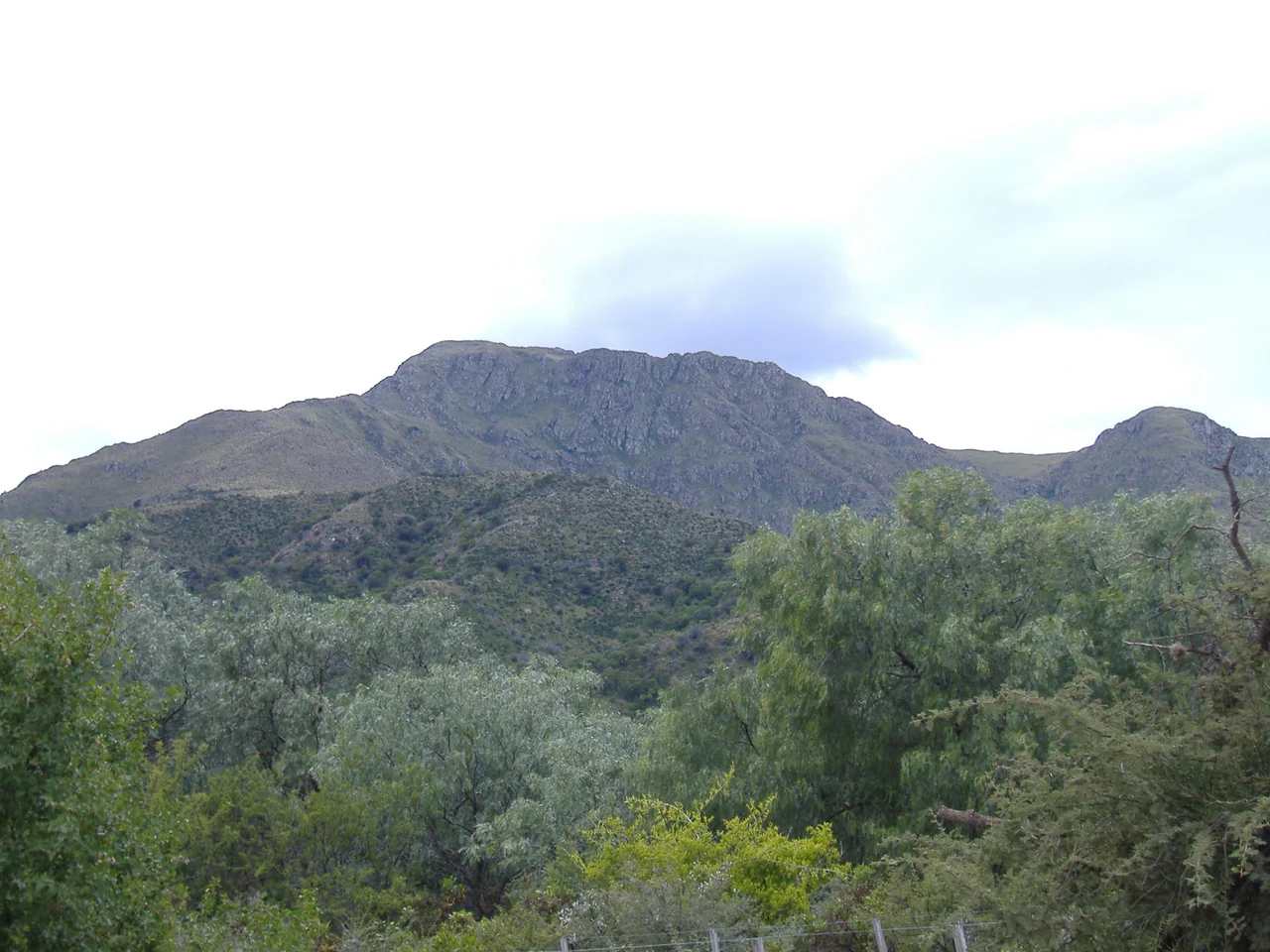

Uritorco
By the measures that usually impress, Cerro Uritorco is unremarkable. At 1,949 meters it is the tallest of the Sierras Chicas, but that makes it a hill among hills, a three-hour walk to a summit beside the Calabalumba River. What sets it apart cannot be surveyed. For decades people have climbed Uritorco not for the view but for what they believe lies beneath and around it: lights in the sky, energies in the rock, and a hidden city said to wait inside the mountain. It is, by reputation, the most enchanted hill in Argentina.
The Name on the Hill
Even the mountain's name carries a small puzzle about who was here first. Uritu urqu means "Male Hill" in Santiago del Estero Quichua, a tongue brought into the region in later centuries. It is not the language of the Comechingón, the indigenous people who actually lived among these sierras when the Spanish arrived. The mismatch is a quiet reminder of how names migrate and settle over land that has changed hands many times. Today Uritorco sits under private administration, and visitors pay a fee to climb the marked path. The ascent is rated medium in difficulty, winding up through changing vegetation to a summit that looks out over the valley town of Capilla del Monte.
Lights and the Hidden City
Uritorco's fame rests on the unexplained. For years, people have reported strange lights and purported UFO sightings on and around the mountain, and to many it has become a presumed center of extraterrestrial activity. The most enduring legend is Erks, an underground city said to lie within the peak, a luminous sanctuary inhabited, in the telling, by otherworldly beings. Books have been written about it; pilgrims watch the night sky for it. None of this is established fact, and the believers themselves frame it as faith rather than proof. But the stories have given a modest hill an outsized presence in the Argentine imagination, and they bring a steady stream of seekers up its slopes.
A Mountain for the Spirit
Since the late twentieth century, Uritorco has drawn a wider movement of spiritual tourism. Visitors come to meditate, practice yoga, and hold rituals on the mountain, some of them at a built structure known as the Pyramid of Uritorco, intended to focus the energy people feel here through its geometry. The surrounding area has grown into a hub for New Age and holistic practice: crystal singing bowls tuned to particular frequencies, chakra workshops, Reiki, astrological readings, the patient making of mandalas. People speak of recharging, of acceleration, of transformation. Scholars who study the place treat it less as a riddle to solve than as a sacred space, a landscape onto which a great deal of longing has been mapped.
When Belief Turned Heavy
The mountain's mystique has a darker chapter, and it deserves to be told plainly. On December 21, 2012, Uritorco was closed to the public. A mass suicide had been proposed on Facebook to coincide with the so-called 2012 phenomenon, the widespread and mistaken belief that an ancient Maya calendar foretold the end of the world. The threat passed and the dreaded date came and went like any other, but the episode showed how powerfully this place can pull on vulnerable people. It is worth remembering that the mountain has long been linked to the town below it. The fame of nearby Capilla del Monte grew from the same fascination, and the two have risen and fallen together. Most who climb Uritorco come in hope, not despair, looking for wonder on a quiet Córdoba hilltop. The view from the top is genuinely fine: the valley, the reservoir, the distant glare of the salt flats. The mountain holds room for all of it: the wide vista, the strange lights, the human need to believe something larger is near.
From the Air
Cerro Uritorco rises at about 30.84 degrees south, 64.48 degrees west, immediately northeast of Capilla del Monte in the Sierras Chicas of Córdoba Province, its summit at 1,949 meters (6,394 feet) above sea level. From the air it is one of the more distinctive landmarks in the range: a pronounced, isolated peak standing above the valley town, with the Calabalumba River at its base and the El Cajón reservoir nearby to the south. The white expanse of the Salinas Grandes salt flats lies to the north. The nearest major airport is Córdoba's Ingeniero Aeronáutico Ambrosio Taravella International (ICAO SACO), roughly 100 km to the south. A viewing altitude of 7,000 to 9,000 feet frames the peak against town and valley. The dry subtropical highland air usually gives sharp visibility; watch for afternoon convective cloud building over the summit in summer.
Nearby Stories
- Battle of San Cala 8.9 km away
- Tren de las Sierras 14 km away
- San José Charterhouse 26 km away
- Mar Chiquita Lake 138 km away
- Battle of Quebracho Herrado 174 km away
- Villa San Agustín 233 km away
- Mailín 244 km away
- San Fernando del Valle de Catamarca 246 km away