Veluwe
Most of the Netherlands wants to be water. The Veluwe wants to be sand. Push 1,100 square kilometers of glacial moraine into the middle of a country known for polders and tulip fields, and you get something unexpected - a hilly, forested region with active sand drifts, wild boar, deer, and the highest point in the country until 1867, when the annexation of Limburg ceded that title to the southern hills. The Veluwe sits in Gelderland province, ringed by the IJssel on the east and the Veluwemeer on the west, and it is the closest thing the Netherlands has to a wilderness.
What the Glacier Left
Between 350,000 and 130,000 years ago, during the Saalian glaciation, an ice sheet pushed down from Scandinavia and stopped roughly along the line of the modern Rhine. The leading edge of that ice bulldozed soil and rock into long ridges - stuwwallen, the Dutch call them - and when the ice melted, the ridges stayed. The highest of them tops out at 110 meters. That is not much by Alpine standards, but in a country where most cities sit below sea level it counts as a mountain range. Scattered through the sandy soil are Scandinavian erratics, granite boulders the glacier carried hundreds of kilometers and dropped here when it died.
Charcoal and Sand
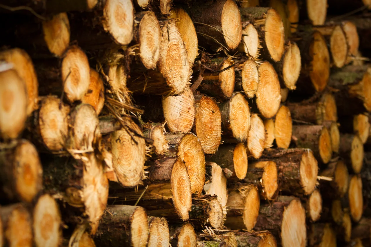
Forest covered the Veluwe once the climate warmed, but it did not last. From the medieval period onward, iron-makers cleared the woods for charcoal, and within a few centuries most of the ancient tree cover was gone. What remained was sand - poor, dry, exposed - and wind did the rest, raising dunes inland and depopulating villages that could no longer farm. The Veluwe became a barren interior, useful mainly for sheep and game. The modern forest is mostly a 19th- and 20th-century replanting for timber, which is why it leans heavily toward conifers in even rows. The dunes still drift in places, including some of the largest active sand fields in Europe.
Water Mills and the Eighty Years' War
There is one industry the Veluwe's geology suited perfectly: paper. The sandy soil filters rainwater into clean springs, and during the Eighty Years' War (1568-1648) the supply of paper from northern France collapsed. Dutch entrepreneurs dug channels - beken - to power water mills along the Veluwe's eastern flank, mostly around Apeldoorn. By the 17th century, scores of paper mills were grinding rags into pulp here, supplying the printing presses of Amsterdam and the publishing houses that made the Dutch Republic an information superpower. Most of those mills are gone now, demolished or converted to laundries, but a handful still turn, kept running by volunteers.
Royal Forest, Bible Belt, National Park
King-Stadtholder William III chose the eastern Veluwe for his country palace in the 1680s. Het Loo, at Apeldoorn, was designed to rival Versailles - its fountains were engineered to throw water higher than the French ones - and the Dutch royal family used it as a residence until 1975. The northwest edge of the Veluwe runs through the Dutch Bible Belt, a strip of conservative Reformed villages where Sunday observance still empties the streets. And at the heart of the region sits Hoge Veluwe National Park, the oldest in the Netherlands and the only stretch of the Veluwe that charges admission. Cycling and hiking are the natural verbs here. The distances between towns are larger than elsewhere in the country, which by Dutch standards means you might pedal twenty kilometers between coffee stops.
What Lives Here
The Veluwe carries Europe's largest population of red deer, along with wild boar, roe deer, and reintroduced mouflon. In 2019 a wolf settled here - the first to den in the Netherlands in roughly 140 years - and the small pack has grown since. The Kroondomein Het Loo, the royal hunting estate adjoining the national park, is closed to the public for most of the year so the wildlife is left undisturbed. Game appears on local menus too: Planken Wambuis, between Ede and Arnhem, has built a reputation on Veluwe venison and forageables, the kind of cooking that takes the landscape's vocabulary and puts it on a plate.
From the Air
Centered around 52.15 N, 5.88 E. The Veluwe forms a roughly oval forested upland 60 km north-south by 30 km east-west, bordered by the IJssel river on the east, the Veluwemeer lakes on the west, and the cities of Apeldoorn, Arnhem, Ede, and Harderwijk around its rim. Recommended viewing altitude 3,000-5,000 feet AGL to take in the scale of the green expanse against surrounding farmland. Nearest airports: Lelystad (EHLE) about 30 km northwest, Teuge (EHTE) about 20 km east (active GA and skydiving), Niederrhein (EDLV) about 60 km east, Amsterdam Schiphol (EHAM) about 60 km west. The region falls inside Dutch class-G airspace below 1,200 ft AGL in most places but check for the Deelen military area, which can be active.
Nearby Stories
- Brigade Speciale Beveiligingsopdrachten 1 km away
- Almere City FC 2.6 km away
- Lancaster Memorial (Netherlands) 3.4 km away
- Lowlands Festival 6.1 km away
- Anholt Castle 6.9 km away
- Ammersoyen Castle 12 km away
- Berkelland 13 km away
- Ommen 16 km away