.jpg)
Wayne National Forest
Most of the Wayne National Forest is not actually the Wayne National Forest. The proclamation boundary covers 832,147 acres of hilly southeastern Ohio, but the U.S. Forest Service owns only 244,265 of those acres. The rest is private land - farms, woodlots, towns, mineral leases. The Wayne is what foresters call a 'checkerboard' forest: a national forest patched together from whatever parcels the federal government could buy from broke landowners during the Depression and the decades since. Add in the complication that many of the federal parcels carry no mineral rights - those were retained by previous owners and their heirs, who can lease them to coal and gas companies - and you have a national forest unlike any in the West, one that exists because of soil erosion, farm failure, and the patience of a reforestation program that started ninety years ago.
How Ohio Lost Its Forests
When the Treaty of Greenville opened this country to settlement in 1795, the Allegheny Plateau of what would become southeastern Ohio was nearly continuous hardwood forest. Within a hundred years, most of it was gone. Settlers cleared the hillsides for corn and tobacco on slopes too steep to hold soil. Loggers cut the white oak and yellow poplar for lumber and railroad ties. The thin Appalachian topsoil eroded into the creeks within a few growing seasons. Coal mining stripped what was left. By the 1920s, large areas of southeastern Ohio were exhausted - tax-delinquent, abandoned, agriculturally worthless. The federal government began buying the land cheap in the 1930s, and the Wayne Purchase Unit became the seed of what is now the only national forest in Ohio.
The Three Districts
The Wayne is administratively split into three units that reflect how the parcels were acquired: Athens, Marietta, and Ironton. The Athens and Marietta units share an Athens Ranger District; the Ironton unit, farther south, is managed separately. The total federal acreage is 244,265, scattered across at least seven Ohio counties in a pattern that requires careful map-reading to navigate. Trails do not always run from one federal parcel to the next - sometimes a hiker on the North Country Trail crosses miles of private land on easements between forest blocks. The Buckeye Trail, the North Country Trail, and the American Discovery Trail all share portions of route through the Wayne, threading the forest's fragmented geography into something that hikers can actually walk.
Coal Beneath the Forest
The geology here is late Paleozoic sandstones and shales, including the famous Appalachian redbeds, and embedded in those layers are the coal seams that drove southeastern Ohio's nineteenth- and twentieth-century economy. Many of the Wayne's federal parcels are former coal-mining lands, surface-mined and abandoned before the federal purchase. The forest service does not, in most cases, own the underlying minerals. Those split-estate parcels create one of the Wayne's most persistent controversies: the federal owner of the surface has no power to prevent a mineral-rights holder from extracting coal or gas. In April 2024, the Bureau of Land Management proposed opening about 40,000 acres of the Wayne to hydraulic fracturing - the second time the proposal had been advanced, the first having been blocked by a federal judge in 2020 after a successful conservation-group lawsuit.
Anthony Wayne, the Moon Tree, and the Arsonist
The forest is named for General Anthony Wayne, the Revolutionary officer who commanded American forces at the 1794 Battle of Fallen Timbers - the engagement that broke the Northwestern Confederacy's resistance and led to the Treaty of Greenville. In August 2023, the U.S. Forest Service proposed renaming the forest, partly in response to tribal objections to celebrating Wayne. Suggestions included Buckeye National Forest, Ohio National Forest, and Koteewa National Forest (a word offered by the Miami Tribe, meaning "fires"). The change has not been finalized. Meanwhile, the forest has been adding small landmarks: in May 2024, a sweetgum 'Moon Tree' sapling - grown from one of fewer than 1,500 seeds that traveled around the moon aboard NASA's uncrewed Artemis I in 2022 - was planted at the headquarters in Nelsonville. In 2022, an entirely different kind of milestone arrived: a former fire-department administrator and police officer deliberately set 26 fires across the forest, burning about 1,300 acres. He was sentenced in 2025 to 18 months in prison and $368,000 restitution.
Flying Over Recovered Country
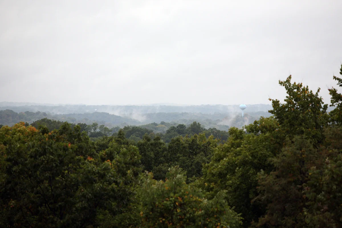
From the air, the Wayne does not appear as a unified green block. It is instead a mosaic of forested ridges interrupted by pastures, towns, and the bald patches of active and reclaimed surface mines. The Hocking River corridor, with its small canyons and waterfalls, runs through the northern part of the forest near Nelsonville and the headquarters. Wayne's terrain shows 200-to-400-foot elevation changes - sharp little ridges and tight hollows, all dissected by creeks. From cruising altitude, the Wayne reads as a forest the country gave up on once and then quietly let return: a story of erosion, abandonment, federal acquisition, and a hundred years of trees growing back on the slopes that nobody could farm anymore.
From the Air
The Wayne National Forest's main headquarters is at 39.05°N, 82.05°W, between The Plains and Nelsonville on U.S. Route 33, overlooking the Hocking River. The forest is fragmented across seven southeastern Ohio counties, so it does not appear as a single contiguous green area. The Hocking River canyon is the most photogenic feature in the northern districts. Nearest airports: Athens-Albany (KUNI) about 10 nm southeast of the headquarters, Marietta (KPHD) about 30 nm east. Best viewed from 5,000-8,000 feet AGL, where the patchwork of federal parcels among private land is visible.
Nearby Stories
- Fort Randolph 3 km away
- Lake Katharine State Nature Preserve 5.8 km away
- Mount Zion Baptist Church 8.5 km away
- The Ohio River Museum 11 km away
- Spencer, West Virginia 19 km away
- Hardin Village Site 28 km away
- Hopewell Culture National Historical Park 34 km away
- Hocking Hills State Park 39 km away