
Weipa
The red cliffs along this coast had caught European eyes for centuries. Dutch sailors remarked on them in the 1600s; Matthew Flinders noted them in 1802. To the Aboriginal peoples of the Western Cape, the red earth was simply country, lived on and cared for across countless generations. Then in 1955 a geologist named Harry Evans looked at those cliffs and saw something else entirely: bauxite, the raw ore of aluminium, in one of the largest deposits on Earth. Within a few years a town would rise from the scrub, named Weipa, after a Presbyterian mission, and the red country would be measured not in stories but in millions of tonnes.
Country Before the Mine
Long before bauxite had a price, this was the country of saltwater and freshwater peoples. The languages of the Western Cape around Weipa include Thaynakwith, also called Awngthim, spoken across Albatross Bay and the Mission River, along with Yupanguthi and the Wik languages of the wider region. The name Weipa itself is thought to come from an Anhathangayth word meaning "fighting ground." These peoples knew the rivers, the mangrove flats and the seasonal rhythm of monsoon and dry intimately; the Embley River, Albatross Bay and the broad estuaries were home and economy. Their presence on this coast is not prehistory or background. It is the deep, continuous foundation on which everything that came later was, often violently, imposed.
The Comalco Act
In 1957 the Queensland Parliament passed the Comalco Act, and with the stroke of a pen, vast tracts of Aboriginal reserve land on the Western Cape were handed to a mining company, thousands of square kilometres excised so that bauxite could be dug. Mining began in 1963. The aluminium company Comalco, later absorbed into Rio Tinto, built the modern town, sank the open-cut mines at sites like Andoom, and laid a railway to carry ore to the export wharves. The Weipa operation became one of the largest bauxite mining complexes in the world. But the land it was built on had not been empty, and it had not been freely given. The Act revoked the rights of the people who lived there as casually as it granted rights to those who did not.
The Burning of Mapoon
The hardest chapter happened up the coast, at the mission of Mapoon. With the bauxite leases now overlying their land, the Aboriginal community at Old Mapoon was in the way. On 15 November 1963, Queensland police arrived by the government boat Gelam, acting on the orders of the Chief Protector of Aboriginals, and forced residents from their homes. People were rounded up clutching only what they could carry and shipped north. Then the houses were burned to the ground so that no one could come back. The community remembers it simply as "the burning." Families who had lived on that country for generations were scattered, some to a place now called New Mapoon, two hundred kilometres away on the tip of the Cape. It was one of the starkest acts of forced removal in Queensland's history, carried out to clear ground for mining.
A Town of Two Stories
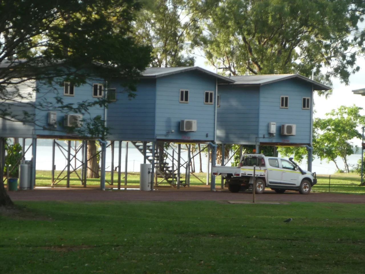
Today Weipa is a working town of around four thousand people, and at a glance it can seem ordinary: a Woolworths, sporting clubs, schools, a caravan park, sunsets over the Gulf of Carpentaria. A former mining pit has filled with fresh water to become Lake Patricia. Live cattle and endless bauxite move out through the port. But the ordinariness sits atop two stories that have never fully reconciled. One is the story of resource wealth and the engineering feat of mining at this scale in such a remote place. The other is the story of the peoples whose country this is, the Alngith, the Thanikwithi, the Wik and their neighbours, whose dispossession the town's prosperity was built upon. Both are true. Weipa is where they meet.
From the Air
Weipa lies at about 12.64 degrees south, 141.86 degrees east, on the western coast of Cape York Peninsula on the Gulf of Carpentaria. The town is unmistakable from the air: look for the red scars of open-cut bauxite mining, the port facilities and ore wharves, and the estuaries of the Embley and Mission Rivers opening into Albatross Bay. Weipa Airport (YBWP, IATA WEI) serves the town directly. RAAF Base Scherger lies nearby to the southeast. Recommended viewing altitude is 2,000 to 4,000 feet to take in the mine, town and coastline together. The wet season (January to April) brings monsoon lows and tropical cyclones, including the kind of system that dropped 356 mm here in a single day in 2013; the dry season (May to September) offers hot, clear, stable flying conditions.
Nearby Stories
- Janszoon Voyage of 1605–1606 17 km away
- Moreton Telegraph Station 31 km away
- Shire of Aurukun 60 km away
- Wenlock Goldfield 67 km away
- Northern Peninsula Area Region 158 km away
- Gulf of Carpentaria 272 km away
- Australia–Indonesia Border 284 km away
- Indonesia–Papua New Guinea Border 302 km away