Western Zone, Tigray
By 17 March 2021, the Transitional Government of Tigray was claiming that more than 700,000 Tigrayans had been forcibly removed from the Western Zone. Amhara regional officials disputed the figure as exaggerated, but they did not dispute that people had left. From the air, if you flew low enough, you could see what those departures meant on the ground: emptied towns, shops without signs in Tigrinya anymore, houses burned after the fighting ended rather than during it. This is the zone where, before November 2020, the town of Humera hosted bustling markets; and where, by 2022, The New York Times reported that towns with Amhara majorities were 'thriving with bustling shops, bars and restaurants' while their Tigrayan neighbors were not.
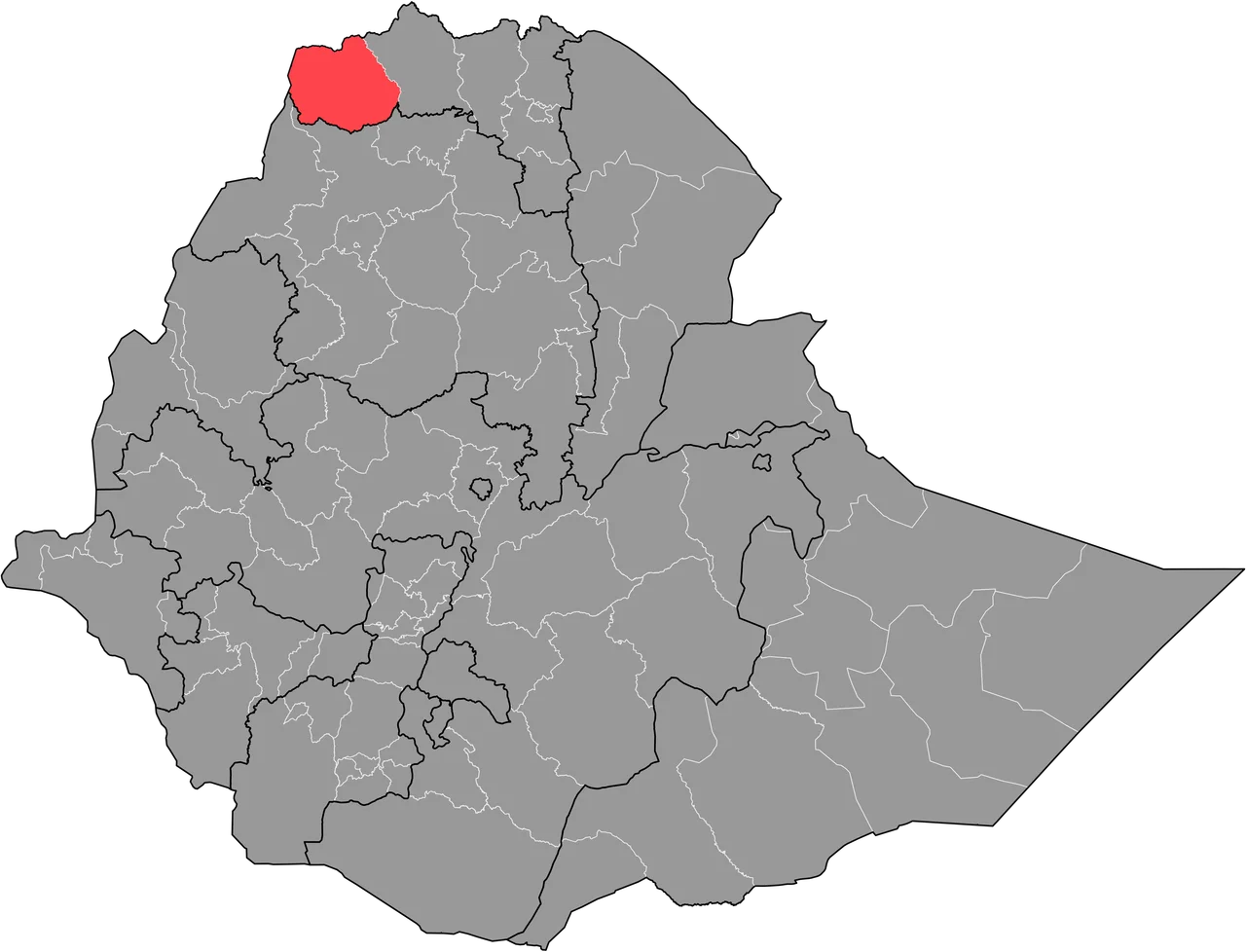
Three Woredas, Four Borders
The Western Zone is one of the smaller administrative zones of Ethiopia, subdivided from north to south into Kafta Humera, Welkait, and Tsegede. The largest town is Humera, a Sudanese-border trading hub where sesame and sorghum cross by truck and where the Tekezé River curves down from the highlands. To the east lies the Tigrayan North Western Zone; to the north, Eritrea; to the west, Sudan; and to the south, the Amhara Region. These borders matter. In 2007, the zone's population of 356,598 was 92.28 percent Tigrayan and 6.48 percent Amhara. By 2022, that arithmetic had changed by force.
The Contested Earth
Welkait became one of those places whose name belongs to the argument. Belgian researchers analyzed a list of 574 place names recorded in the 1930s by the Italian ethnographer Giovanni Ellero, and found that the overwhelming majority were Tigrinya in origin: 229 began with 'Addi,' meaning 'village' in Tigrinya, and 49 with 'May,' meaning 'water.' Only a handful were Amharic. The 1994 census recorded 96.5 percent of Western Tigray's inhabitants as Tigrayan, a figure that had shifted to 92.3 percent by 2007. These statistics matter because the Amhara claim over the zone rested, in part, on a counter-argument that the land had historically been Amhara before TPLF annexation in 1992. The evidence did not support that claim, but the war that followed was fought as if it did.
November 2020
When fighting broke out between the Ethiopian federal government and the TPLF-led Tigray government, Amhara regional militias, Ethiopian federal forces, and Eritrean troops converged on the Western Zone. They took Humera, Addi Remets, and Dansha. Houses were destroyed during the fighting. Others were set on fire after the shooting stopped, which is a different kind of act. Tigrinya signs on shops and hotels were repainted. Tigrinya-speaking officials disappeared from the administration. People fled east toward central Tigray; others were held back because, as researcher Mehdi Labzaé documented, Tigrayan civilians had become 'a lucrative business for Fano who could regularly ransom them.' Those who could not pay, or whose families could not, stayed where they were. Many did not survive.
What the Investigators Found
Human Rights Watch published a 2022 report titled 'We Will Erase You From This Land,' the phrase a quotation from perpetrators. Amnesty International and the U.S. State Department described what had happened in Western Tigray as ethnic cleansing. French researcher Mehdi Labzaé, interviewing both victims and perpetrators in 2021 and 2022, concluded that the violence had been a 'deliberate policy' implemented by the Fano militia, Amhara Regional Special Forces, and the Welkait Committee administration of the zone, with the complicity of Eritrean troops and at least implicit backing of the Ethiopian National Defense Force. The purpose, he wrote, was 'to free land for occupying Amhara forces.' The Pretoria peace agreement of November 2022 ended the war formally but did not restore the Western Zone to Tigrayan administration. The displaced mostly remained displaced.
The Land That Feeds Everyone
The Western Zone produces sesame for export, sorghum for subsistence, and, increasingly, sugar. The Ethiopian Sugar Corporation has been building a massive mill in Welkait for over a decade. Rainfall averages around 600 millimeters per year in the lowlands, enough for one harvest, and the Tekezé River and its tributaries carry runoff from the highlands south and west into Sudan. A World Bank memorandum from 2004 rated 100 percent of the zone as malaria-exposed. Rural households hold an average of one hectare of land. Before the war, Tigrayan farmers worked those hectares. Many now live in camps. The fields are still planted, and someone is harvesting them. Whose hands will sow next year's crop, and whether the land will ever welcome back the people whose great-grandparents named it, remains unanswered.
From the Air
Coordinates: 13.75°N, 37.00°E. Sudan to the west, Eritrea to the north. The Tekezé River gorge cuts along the eastern boundary. Recommended viewing altitude: 8,000-12,000 feet AGL. Nearest airport: Humera (HUEA). The zone sits in a lowland plain that is hot, dusty, and heavily farmed; afternoon thermals common during the dry season.
Nearby Stories
- Eritrea-Sudan Border 22 km away
- Dedebit Elementary School airstrike 34 km away
- Simien National Park 62 km away
- Eritrean-Ethiopian War 94 km away
- Ethiopian Empire 111 km away
- Northern front, East Africa, 1940 119 km away
- El-Gadarif 130 km away
- Gash-Barka Region 139 km away