
Yamba, New South Wales
In 1799 Matthew Flinders climbed a craggy promontory at the mouth of the Clarence River, looked out at the churning estuary below, judged it dangerous and not worth examining, and sailed away. The headland he stood on is now called Pilot Hill, and the turbulent river mouth he dismissed has become the centre of Yamba - a town that in 2009 was voted the number one town in Australia by Australian Traveller Magazine. Flinders was a brilliant navigator who got this one wrong. Yamba sits where the Clarence finally meets the Pacific, eleven beaches strung along its postcode, a lighthouse on the hill, trawlers in the river, and whales passing offshore every winter.
The People of the River Mouth
Long before any European ship probed the estuary, the Yaegl people lived around the mouth of the Clarence, sharing this coast with the wider Bundjalung nation. They spoke Yaygirr, a language closely related to neighbouring Gumbaynggirr, and they were not transient. When Flinders passed in 1799 he recorded large bark huts built with rounded passageway entrances to keep out wind and rain; a later visitor, Captain Perry in 1839, noted canoes of unusually fine construction. These are the marks of permanent settlement and a developed coastal culture, refined over countless generations. The town's name itself reaches back into that world. One reading takes Yamba from a word for headland; another traces it to yumbah, a rough edible shellfish, the size of a man's hand, that clings to the rocks much like an oyster.
From Shoal Bay to Sea Change
European Yamba grew slowly. Timber-getters arrived in the 1830s, the townsite was surveyed in 1861, and the place was first known as Shoal Bay before taking the name Yamba in 1885, with a population of around 340. Fishing and oysters took hold in the 1880s; prawn trawling was pioneered here in the 1940s. The real change came with access. After the railway reached nearby Grafton, Yamba began drawing holidaymakers in the 1930s, and when the main road was sealed in 1958 the guesthouses gave way to motels and apartments. Today the town rides the Sea Change wave, swelling threefold in the holidays and drawing retirees north to the warmth - a working fishing port that moonlights, gloriously, as a beach resort.
Eleven Beaches and a Lighthouse
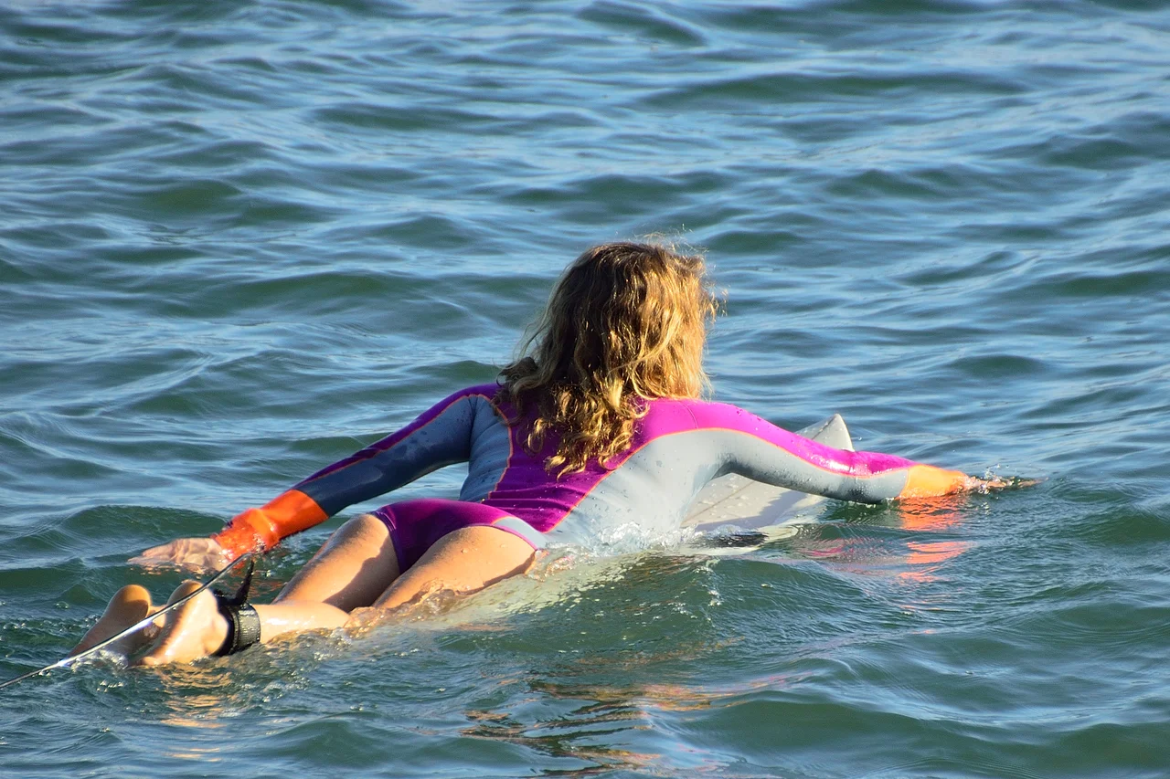
Few towns this size offer so much coastline. Within the one postcode lie eleven beaches - Whiting, Turners, Main, Pippi, Flat Rock and more - each with its own character, from family-calm to surf-pounded. The Yamba Surf Life Saving Club, formed at the local School of Arts on 9 September 1908, is one of the oldest in the world; it was born after two local teenagers used a buoy and line to pull a drowning man from a heavy swell that same year. Up on the hill, the Yamba Lighthouse - first lit in 1880 and rebuilt in 1955 - still marks the river mouth. Between May and October, whales pass close offshore, and dolphins are so common they can be watched surfing the breakers near the beach almost any day of the year.
A Town That Sailed the World
For its size, Yamba has thrown a long line out into the world. From its wharves, cargo ships still run to Lord Howe Island, Norfolk Island and New Zealand, the port now overseen by the Port Authority of New South Wales. Among the locals is Kay Cottee, the first woman to sail solo, non-stop and unassisted around the globe, who made her home here. The musician Ry Cuming, frontman of the band The Acid, was born just across the water on Woodford Island. The town keeps its stories in the Yamba Museum, run by the Port of Yamba Historical Society, where the tangled history of port, surf, fishing and sugar is laid out a short walk from the beach that made the whole place famous.
From the Air
Yamba sits on the southern side of the Clarence River mouth at 29.44 degrees S, 153.36 degrees E, directly across the water from the village of Iluka. From the air the river mouth dominates - twin training walls framing the estuary, the town spread over headlands to the south, with Pilot Hill and the Yamba Lighthouse marking the high ground. The string of ocean beaches runs south toward Angourie and the Yuraygir National Park coast. Nearest airport is Clarence Valley Regional (Grafton) Airport (YGFN), about 45 km southwest; a private airstrip sits on nearby Palmers Island, and Ballina Byron Gateway (YBNA) lies roughly 60 km north. Recommended viewing altitude 2,000 to 4,000 ft. Subtropical weather is generally clear, though sea breezes and summer storms develop quickly along the coast.
Nearby Stories
- History of New Italy, New South Wales 16 km away
- Yuraygir National Park 22 km away
- Susan Island Nature Reserve 27 km away
- Guy Fawkes River National Park 71 km away
- Tenterfield School of Arts 90 km away
- HMS Porpoise (1799) 789 km away
- Wreck Reefs 819 km away
- SS Elingamite: Gold, Fog, and a Captain Wrongly Blamed 1771 km away