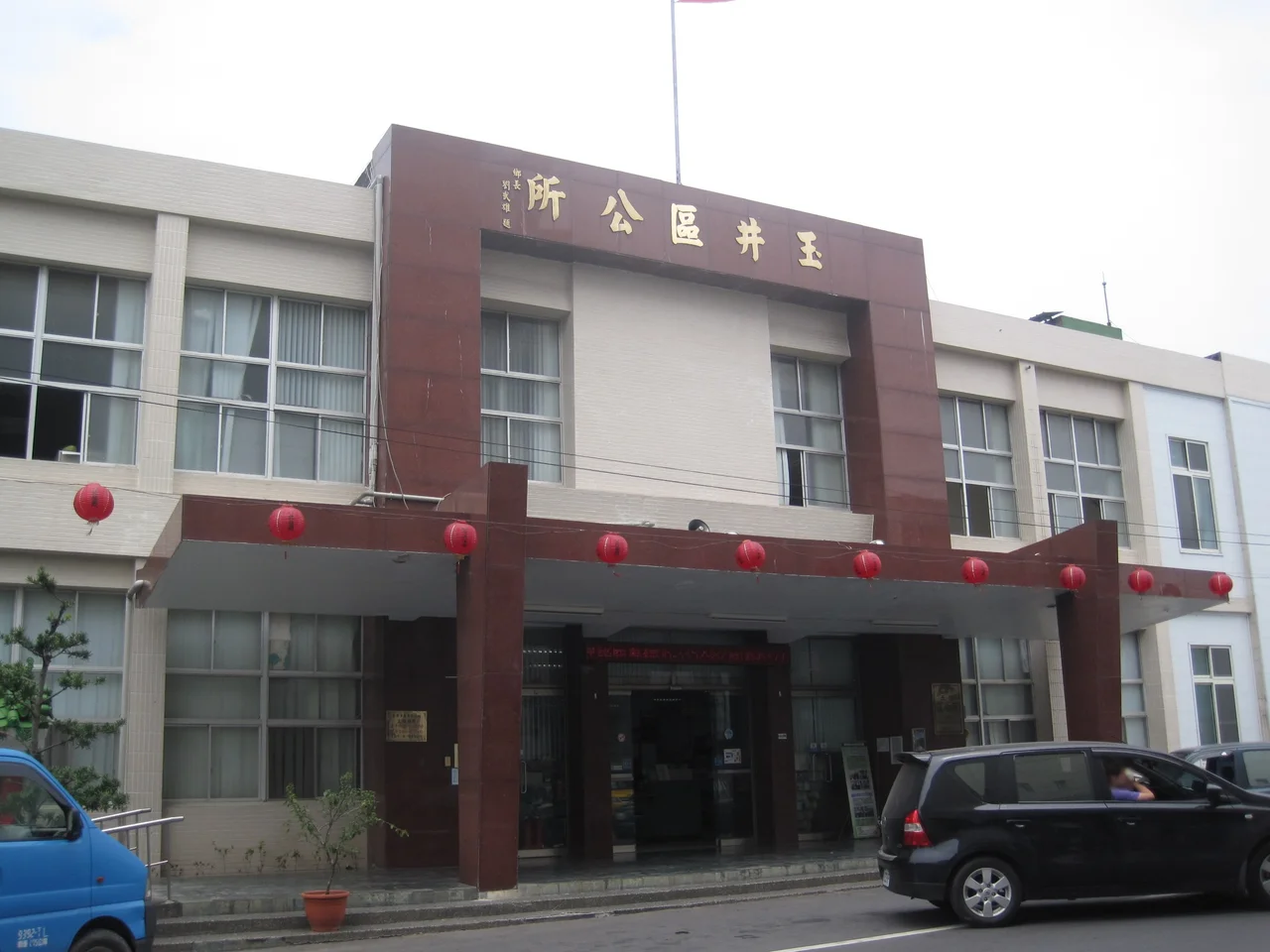

Yujing District
The town has had many names, and each one tells a different story about who held power here. The Taivoan indigenous people called it Tapani. Dutch colonial records rendered it Tamani after the 1650s. Japanese administrators transliterated it into the kanji 玉井, pronounced Tamai. Then in 1945, the same kanji became Yujing under Mandarin Chinese pronunciation. Four names, one place — a valley town in the eastern foothills of Tainan where a remarkable convergence of volcanic soil, mountain water, and subtropical heat makes for conditions that mango trees find almost irresistible.
The Name the Land Remembers
Before any of those outside names arrived, Tapani was Taivoan territory. The Taivoan are one of the Taiwanese plains indigenous peoples, and this valley was part of their world for generations before the Dutch East India Company established its foothold on Formosa in the seventeenth century. During the Kingdom of Tungning — the Chinese government that ruled Taiwan from 1661 to 1683 — Siraya people from the Tavocan area, modern-day Xinhua, moved into this region after conflicts with Han Chinese settlers. The valley absorbed wave after wave of newcomers, each leaving traces in the landscape, the temples, and the family names still found here. The Taivoan presence is acknowledged today in the district's categories and in the layers of its colonial history, though the Taivoan language fell silent generations ago.
The Last Major Uprising
In 1915, Yujing was the site of some of the fiercest fighting during the Tapani Incident, one of the largest armed uprisings against Japanese colonial rule in Taiwan's history — and the last significant armed resistance of the Japanese era. Led by Yu Ching-fang, who declared himself Grand Marshal of the Benevolent Nation of the Great Ming, the rebellion drew support from Han Taiwanese and Aboriginal communities alike. Japanese authorities crushed it decisively: 1,412 people were killed in the crackdown, and another 1,424 were arrested and sentenced. A museum converted from a century-old sugar refinery complex now stands in Yujing to commemorate those events, and an ancient battlefield with a memorial tablet to Yu Qingfang marks the ground where the confrontation was most intense. The sugar refinery is a reminder that during Japanese rule, Yujing was an important sugar-producing area — an industry that came before the mangoes.
The Mango Capital
The transformation from sugar town to mango country happened in the 1960s, with active government promotion that steered farmers toward the fruit. By the time it took hold, the association between Yujing and mangoes had become so complete that the two names became nearly interchangeable. The district's 76 square kilometers of hilly terrain, sitting between 100 and 400 meters in elevation, turned out to suit the irwin and jinhuang varieties particularly well. The annual mango season — roughly June through August — draws visitors from across Taiwan to buy directly from roadside stands and at the Mango Industry Culture Information Hall, which documents the cultivation history and celebrates the fruit in earnest. Driving through the district in summer, the roadside trees are heavy with green-to-gold fruit, and the air carries a faint sweetness.
A District at Its Own Pace
Yujing has around 13,000 residents as of 2023, a modest population for a district that covers considerable ground. Beyond the mango farms and the memorial sites, the area holds Yujing Beiji Temple, a major local religious site, and the Yusha Oncidium Orchid Garden, which supplies cut flowers to markets across Taiwan. The Siiangjhih Park offers views across the valley. Provincial Highway 84 connects Yujing to Beimen District on the coast, tracing a route that crosses one of the flattest and one of the hilliest landscapes in southern Taiwan. In March 2010, a 6.4-magnitude earthquake caused structural damage to Yujing Junior High School, a reminder that this territory, geologically speaking, is far from settled. The mountains here are young and restless, and the town's long history of naming and renaming reflects the same instability — human and geological — that has always defined this valley.
From the Air
Yujing District is centered at approximately 23.117°N, 120.467°E in eastern Tainan, at elevations ranging from about 100 to 400 meters as the terrain rises toward the Central Mountain Range. From 5,000–8,000 feet, the patchwork of mango orchards covering the low ridges is visible in summer as dense, rounded canopies. The nearest major airports are RCNN (Tainan International Airport), about 30 km to the west-southwest, and RCKH (Kaohsiung International Airport), about 35 km to the south. Provincial Highway 84 is a useful visual reference running east–west through the district.
Nearby Stories
- 1941 Chungpu Earthquake 7.5 km away
- Paiyun Lodge 9.8 km away
- Fo Guang Shan Buddha Museum 11 km away
- Yakou Mountain Pass 17 km away
- National Museum of Prehistory (Taiwan) 19 km away
- Dongji Island 26 km away
- TransAsia Airways Flight 222 33 km away
- Daya Bay 548 km away