1766 Marmara Earthquake
The people of Tekirdag had already been through one earthquake that year. On 22 May 1766, a magnitude-7 shock had struck the Sea of Marmara, killing thousands and damaging buildings across an arc that ran from Istanbul to Gelibolu. By early August, salvage was underway: roofs were being re-tiled, walls were being shored up, the rhythm of summer in the wheat fields and vineyards was reasserting itself. Then, on 5 August, the fault moved again - this time the western segment, the Ganos Fault, where the North Anatolian Fault dives under the sea on its way out toward the Aegean. The second earthquake of 1766 was larger than the first. More than five thousand people died.
The Fault That Will Not Rest
The Sea of Marmara sits at one of the most geologically restless places in Europe. The Anatolian plate is being shoved westward, squeezed out from under the colliding Arabian plate to its southeast, and the North Anatolian Fault is the slip-line where that westward escape happens. Near Istanbul the fault splits into branches and bends; the northernmost strand plunges into the basin and continues underwater toward the Aegean. The Ganos Fault is the western continuation of that system, running onshore between the villages of Gaziköy and Saros before disappearing into the Gulf of Saros. Geological studies of the seafloor have revealed older fault scarps that may date to 1766 - the physical signature of the day the bedrock tore. Modern reconstructions suggest a moment magnitude between 7.4 and 7.6, with rupture lengths comparable to the great Düzce earthquake of 1999.
Hoşköy at the Center
The greatest violence was at Hoşköy, on the northern shore of the sea, where the shaking reached level X on the Modified Mercalli scale - 'extreme,' the category at which masonry simply ceases to exist as masonry. Whole villages were unbuilt. At Gülcük, Gelibolu, Gaziköy, Mürefte, Sarkoy, Tekirdag, and Evrese, the intensity was IX, 'violent,' meaning that wood-frame structures buckled and stone houses split open along their foundations. The shock was felt all the way south to Aydın and İzmir, north across the Balkan Peninsula to the Carpathians, west to Mount Athos and Thessaloniki. In Istanbul itself, somehow, damage was slight. Tekirdağ and Gelibolu took the worst of it; their populations had already buried friends and family in May, and now they buried more. Aftershocks continued for a year, each one rattling buildings that had already been weakened, each one keeping survivors out in the open.
Another Year, Another Quake
On 29 May 1776, ten years to within a week of the first shock of 1766, a third earthquake struck the same region. This one was smaller. Damage was widespread but minor. By then most of the buildings that had been going to fall had already fallen and been rebuilt; what was new could absorb a moderate shock without collapsing. The earthquake of August 1766 had become a benchmark, the catastrophe against which lesser shakings were measured. Mothers told children about the day the earth made the sea boil. Stonemasons spoke of how to lay foundations to give buildings a fighting chance. The Ottoman state had absorbed the loss as it had absorbed losses before - rebuilding, recording, moving on. The lesson the fault offered, once again, was that the Sea of Marmara is a place where time is measured in centuries between disasters, and the centuries always come due.
The Pattern Continues
Look at the dates and a rhythm emerges. 1509. 1766. 1894. 1912 on the Ganos Fault again. 1999 at İzmit and Düzce. April 2025, off Marmara Ereğlisi. Each event is its own catastrophe, but together they trace the slow, methodical work of a fault that has been doing this since the late Miocene and shows no sign of stopping. The Sea of Marmara has not yielded its full reckoning to modern Istanbul - the segment directly beneath the city has been quiet since 1766, a silence seismologists call the Marmara seismic gap. The longer it stays quiet, the more strain accumulates. Many seismologists give better-than-even odds of a magnitude-7 event near Istanbul before 2030. The 1766 dead, sleeping under the wheat fields of Tekirdağ and Gelibolu, would recognize that calculation. They lived inside it once.
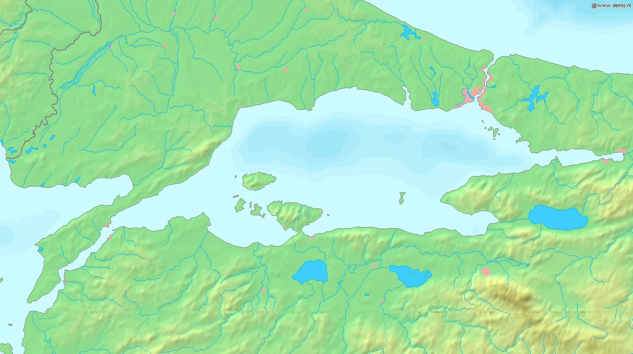
From the Air
The August 1766 earthquake's epicenter is in the western Sea of Marmara at roughly 40.60°N, 27.00°E, near the entrance to the Dardanelles. From the air, the geography is the long sea-finger of Marmara opening westward into the Aegean through the narrow Dardanelles Strait. Tekirdağ on the northern shore and Gelibolu on the south flank of the strait are both visible at moderate altitude. Best viewed at 8,000-15,000 feet. Nearest airports are Tekirdağ Çorlu (LTBU) to the northeast, Çanakkale (LTBH) to the southwest, and Istanbul Airport (LTFM) to the east.
Nearby Stories
- Battle of Lone Pine 7.3 km away
- Avşa Island 7.7 km away
- Zeleia 16 km away
- Altıkulaç Sarcophagus 28 km away
- Battle of Hill 60 (Gallipoli) 28 km away
- Uzunköprü Bridge 58 km away
- 2025 Istanbul Earthquake 68 km away
- Battle of Philippi 177 km away