Apo Island
It took three years of talking. In the early 1980s, Dr. Angel Alcala of the Silliman University Marine Laboratory came to the fishermen of Apo Island with a proposal: set aside a portion of their fishing grounds as a marine sanctuary where no one could harvest anything. The fishermen were skeptical -- this was their livelihood he was asking them to restrict. But Alcala kept coming back, kept explaining, kept listening. By 1982, the community agreed. They selected 450 meters of shoreline and a zone extending 500 meters from shore as the sanctuary site. That decision -- made by fewer than a thousand people on a volcanic speck in the Visayan Sea -- launched a conservation movement that has since inspired hundreds of marine sanctuaries across the Philippines.
A Small Island with a Big Name
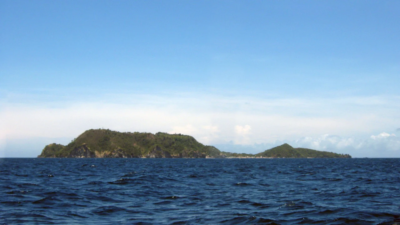
Apo Island covers just 74 hectares of land, roughly 1.5 kilometers from north to south and one kilometer from east to west. It rises to 120 meters above sea level at its highest point -- a volcanic remnant sitting seven kilometers off the southeastern tip of Negros Island, about 30 kilometers south of the Negros Oriental capital of Dumaguete. The name "Apo" means "elder" or "respected ancestor" in the Visayan languages, a fitting title for a place that has become venerable in the world of marine biology. The island falls under the jurisdiction of Dauin municipality and is one of its 23 barangays. As of the 2010 census, 918 people called it home -- a community small enough that everyone knows everyone, which turned out to be exactly the social fabric needed to make a marine sanctuary work.
Six Hundred Fifty Species and Counting
The numbers that have come out of Apo Island's waters are staggering for such a small area. Over 650 documented species of fish live in the reefs surrounding the island. An estimated 400 species of coral -- from tiny bubble corals to massive gorgonian sea fans and brain corals -- have been recorded here, representing the majority of the Philippines' approximately 450 known coral species. More than 60 sea turtles have been documented in the surrounding waters, their protection a point of local pride. In the north part of the island, strong currents deliver exceptionally clear water where schools of jacks patrol, barracudas cruise, and groupers hold station near the dive spot known as Coconut. In 2003, Chicago's Shedd Aquarium opened its Wild Reef exhibit based specifically on Apo Island's reef ecosystem. In 2008, Sport Diver Magazine listed Apo Island among the top 100 diving spots in the world.
The Model That Spread
What makes Apo Island remarkable is not just its biodiversity but the way it was protected. This was not a government decree imposed from above. It was a community decision, born from three years of dialogue between scientists and fishermen, maintained by local enforcement and funded by visitor fees that go directly back into sanctuary management. Only island residents have the right to fish in the surrounding waters -- outsiders may dive and snorkel, but not harvest. That model of community-based marine management, pioneered on this tiny island, has been replicated at hundreds of sites across the Philippines. Apo Island proved that conservation works best when the people who depend on the resource are the ones who decide to protect it.
After the Storm
The sanctuary's story is not one of unbroken triumph. In 2011, Typhoon Sendong devastated the fish sanctuary on the southeastern part of the island, and that beach has been closed to snorkeling since -- nominally "temporarily," though the closure has persisted. Fishing boats now park where swimmers once floated. The marine habitat around the island is protected under the National Integrated Protected Area Act and managed by the Protected Area Management Board, but storms do not respect legal boundaries. Two resorts operate on the island -- Apo Island Beach Resort and Liberty's Lodge -- each with a dive center, and a ranger station and lighthouse round out the infrastructure. Visitors pay fees to enter and to snorkel or dive, and those fees sustain the conservation effort. For all the damage from Sendong, the reefs endure, the turtles return, and the fishermen of Apo Island continue the work that Dr. Alcala first proposed four decades ago.
From the Air
Apo Island sits at approximately 9.08N, 123.27E, a small volcanic island visible as a distinct green dot surrounded by turquoise reefs, roughly 7 km off the southeastern tip of Negros Island. The nearest major airport is Dumaguete-Sibulan Airport (RPVD), approximately 30 km to the north. From 3,000-5,000 ft, the island's compact shape and surrounding reef are clearly visible. The town of Zamboanguita on the Negros coast is the usual departure point for boats to the island. At higher altitudes, Apo Island appears between the larger masses of Negros and Siquijor.
Nearby Stories
- Balinsasayao Twin Lakes Natural Park 7.2 km away
- Japanese Cruiser Abukuma 18 km away
- Jose Rizal Memorial Protected Landscape 25 km away
- Cebu 112 km away
- 1995 Ipil Massacre 113 km away
- Guimaras Oil Spill 131 km away
- November 2023 Mindanao Earthquake 384 km away
- Balut Island 445 km away