.jpg)
Guimaras Oil Spill
Around midnight on August 11, 2006, a violent storm in the Panay Gulf swallowed the oil tanker MT Solar 1 whole. The ship went down approximately 20.5 kilometers off the southern coast of Guimaras, carrying more than two million liters of bunker fuel to a depth of over 600 meters. What rose to the surface in the hours and days that followed would become the worst oil spill in Philippine history -- a slick that spread through the Guimaras Strait and Iloilo Strait, coating the shorelines of three provinces and poisoning fishing grounds that supplied seafood to much of the country.
A Ship That Should Not Have Sailed
The causes of the sinking remain contested, but the investigation revealed troubling details. Allegations surfaced that the MT Solar 1 had a capacity of only 1.2 million liters, meaning it may have been carrying nearly double its safe load when it encountered the storm. Other investigations claimed the ship's captain was not qualified to command the vessel. Whether overloading, unqualified command, bad weather, or some combination sent the tanker to the bottom, the consequences were immediate and devastating. When recovery crews attempted to siphon oil from the wreck in March 2007, they retrieved only 9,000 liters from a ship that had carried more than two million. The rest had already entered the ecosystem.
The Slow Stain Spreading
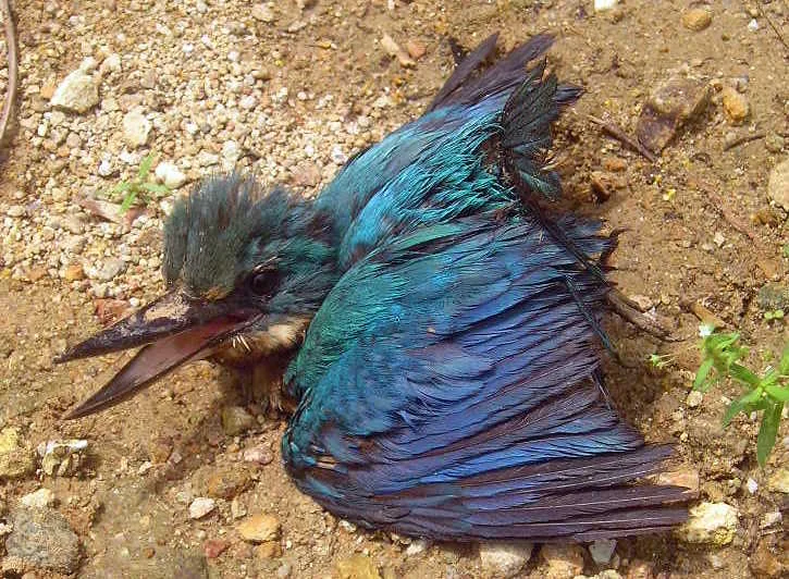
Oil does not simply float. It infiltrates. The slick from the MT Solar 1 traveled through the Guimaras Strait -- the waterway connecting the Visayan Sea with the Sulu Sea -- and reached the shores of Guimaras, Iloilo, and Negros Occidental. Marine sanctuaries and mangrove reserves in three of Guimaras Island's five municipalities were directly affected. The Taklong Island National Marine Reserve, a sanctuary serving as feeding and breeding ground for fish and other species, suffered severe damage. By August 22, the Philippine Coast Guard reported that the spill had affected 20 communities in four municipalities of Guimaras, threatened 27 communities in Iloilo province, and endangered 17 others in Negros Occidental. Dr. Jose Ingles, eco-region coordinator for the World Wide Fund for Nature, warned that the damage would be felt by at least two generations.
People in the Path of the Oil
The fisherfolk of the Visayas, many already living in poverty, bore the heaviest cost. Their livelihoods depended on the same waters now fouled with bunker fuel. A villager from Barangay Lapaz in Nueva Valencia, Guimaras, became the first person to die from direct exposure to the spill, contracting cardio-respiratory disease after inhaling fumes from the oil sludge. The government evacuated affected families, but reports from the field documented skin diseases among those who had contact with the contaminated shoreline. To the south-southeast of the spill site, the Sulu Sea's deep waters supported commercially valuable species -- blue marlin, yellowfin tuna -- that were the economic backbone of southern Negros Occidental fishing communities. The oil threatened to damage this industry as well, extending the disaster's reach far beyond the immediate spill zone.
Cleanup and the Long Wait for Justice
President Gloria Macapagal Arroyo created Task Force Guimaras on August 22 to oversee the cleanup and retrieve the estimated 1.5 million liters of fuel still inside the sunken tanker. British oil experts arrived on August 17 to conduct aerial surveys, and a U.S. Coast Guard team joined on August 23 to help locate the wreck. The cleanup was projected to take three years. But the legal reckoning has taken far longer. Affected communities filed a 291-million-peso class action suit against Petron Corporation and the Sunshine Maritime Development Corporation, which owned the Solar 1, as well as the International Oil Pollution Compensation Fund. The trial began in 2014 and remained ongoing as of 2025, after courts ruled that the victims' evidence was still subject to rebuttal. Nearly two decades after the spill, the people who lost their livelihoods, their health, and in one case their life, were still waiting for resolution.
From the Air
Located at approximately 10.217N, 122.500E in the Panay Gulf between Guimaras Island and Negros Island. The spill site is in open water approximately 20.5 km off the southern coast of Guimaras. Nearest airports include Iloilo International Airport (RPVI) on Panay Island and Bacolod-Silay Airport (RPVS) on Negros. The Guimaras Strait connecting the Visayan Sea and Sulu Sea is visible as a major waterway. Best viewed at 5,000-15,000 feet AGL to appreciate the geography of the spill's spread.
Nearby Stories
- Arevalo Church 16 km away
- Kanlaon Volcano 17 km away
- Northern Negros Natural Park 21 km away
- San Jose de Buenavista 23 km away
- 2012 Negros Earthquake 23 km away
- Republic of Negros 53 km away
- Cuyo, Palawan 124 km away
- Tubbataha Reef 261 km away