
Applecross
Maelrubha sailed from Bangor Abbey in Ireland in 671 and arrived a year later on a wooded peninsula on the west coast of Scotland that was then Pictish territory. He named the place Aporcrosan - mouth of the river Crossan, which the Picts called it - and he founded a monastery there in 673. The surrounding district he called A' Chomraich, the sanctuary. The Gaelic name still works. Applecross today is one of the most isolated places on the British mainland that has a road at all: a single-track lane crosses the mountains into it from the east, and until 1975 that road, the Bealach na Ba, was the only land link to anywhere. Before the road, there was the boat. Before the boat, there were the monks.
The Geography of Isolation
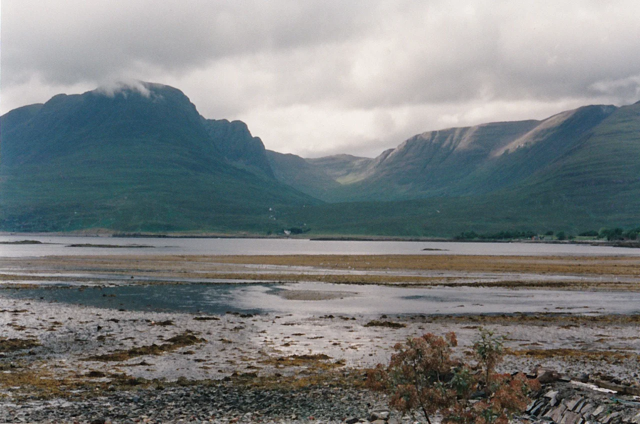
The Applecross peninsula juts out into the Inner Sound between Skye and the mainland. Loch Kishorn marks its southern boundary; Loch Torridon, its northern; Glen Shieldaig closes it on the east. Its western shore faces Applecross Bay, with the mountains of Skye on the far horizon. The peninsula is mostly empty mountain - sandstone tops, glacier-carved corries, lochans tucked between ridges. Only a thread of population lives along the coast. A row of houses on the bay, marked Applecross on most maps, is actually called Shore Street and known locally simply as The Street. The name Applecross properly belongs to the whole peninsula, including settlements like Toscaig, Culduie, Camusterrach and Sand. The whole civil parish - which extends north to Shieldaig and Torridon - holds about 544 people. The small River Applecross flows into the bay through woodland that has somehow survived a thousand years of grazing.
Maelrubha's Sanctuary
The monastery Saint Máel Ruba founded in 673 was for centuries one of the most important Celtic Christian houses in northern Britain - older than Iona's revival, contemporary with Lindisfarne's brightness. Máel Ruba himself was a missionary from Bangor Abbey, the great monastery in Gaelic Ireland that had produced Saint Columbanus a century earlier. He died at Applecross on 21 April 722, in his eightieth year. The deaths of several of his successors as abbot are recorded in the Irish Annals into the early ninth century. Then the records go quiet. Viking raids almost certainly ended the monastic community as it had been. Of the buildings, nothing now survives. The present parish church on the site dates to 1817. In its churchyard stands a large, unfinished cross-slab; inside the church are three extraordinarily fine fragments of another. The surrounding district kept the old Gaelic name, A' Chomraich, the sanctuary - a place whose boundaries were once marked by tall stone crosses. One survives, in fragments, among farm buildings at Camusterrach. Another was destroyed by a tenant farmer in 1870.
The Hardest Road in Britain
For most of recorded history the only way into Applecross by land was the Bealach na Ba, the Pass of the Cattle, which climbs from sea level at Kishorn to 626 metres in about six kilometres - the greatest ascent of any road in the United Kingdom. Built in 1822 to bring cattle out to market and to bring everything else in, it was unsurfaced gravel for more than a century. For weeks at a time in winter the road was impassable and the only way in or out of Applecross was by sea. In 1975, finally, a new coastal road was completed that travels round the edge of the peninsula via Shieldaig and Torridon, hugging the shore of the Inner Sound and Loch Torridon. The community had been petitioning for the link for generations. The 1953 film Laxdale Hall (a Group 3 production in the Ealing comedy style) was set on Applecross under a different name; in it, the locals protest the dreadful state of their road by withholding their road tax. Reality eventually matched the fiction.
Estates and Eagles
After the Reformation the lands of Applecross were secularised around 1591 and granted to Clan Mackenzie. Alexander Mackenzie, who died in 1650, was the founding laird of the local branch; his descendants held the estate until the mid-nineteenth century, with one interruption between 1715 and 1724 when the family forfeited it for backing the Jacobite rising. The estate then passed to the Duke of Leeds, then to Lord Middleton in the 1860s, then to the Wills tobacco family after 1924. Since 1975 the entire estate has been held by the Applecross Trust, a Scottish charity whose declared aim is to preserve "the special character of the Applecross peninsula in a responsible and progressive manner." The wildlife list is one of the richest in Britain: red deer, otters, pine martens, the rare Scottish wildcat, golden and white-tailed eagles, basking sharks, minke whales, bottlenose dolphins. The Applecross Brewing Company has its name and its market here, though it has to brew in Kishorn because Applecross still has no three-phase electricity. Some kinds of isolation are persistent.
The Sanctuary Today
Applecross is now squarely on the tourist map - the North Coast 500 route, set up in 2015 and now one of Scotland's most travelled holiday loops, crosses the Bealach na Ba and runs straight through The Street. The inn at Applecross is famous for seafood. The unmanned petrol pump that opened in July 2010, the first in the UK, runs on credit cards because the only alternative is a thirty-six-mile drive round to Lochcarron. Graeme Macrae Burnet's 2015 novel His Bloody Project, shortlisted for the Man Booker Prize the following year, was set in the nineteenth-century crofting community of Culduie, just down the road from Shore Street. Tourists, hikers, kayakers, cyclists, novelists, eagles. The sanctuary is busy now. But on a still evening, with the Cuillin of Skye sharp on the western horizon and the cross-slab dark in the churchyard, you can still feel why Maelrubha chose to come ashore here, and why he stayed.
From the Air
Applecross lies at 57.43N, 5.81W on a peninsula in Wester Ross facing the Inner Sound. Visual landmarks: the Bealach na Ba road climbs east-west across the peninsula to 626 m / 2053 ft, immediately south of Sgurr a' Chaorachain (792 m); the village of Applecross (Shore Street) sits on the western shore at sea level; the Skye Cuillin (highest point Sgurr Alasdair at 992 m) lies 18 nm west across the Inner Sound. Nearest ICAO airports: Inverness (EGPE) 65 nm east, Plockton airstrip (EGEC) 18 nm southeast, Stornoway (EGPO) 80 nm northwest. Recommended viewing altitude 3500-5000 ft AGL clear of the peninsula's high ground. Mountain weather closes the Bealach na Ba frequently in winter; expect orographic cloud and sudden visibility changes.
Nearby Stories
- Duntulm Castle 3.3 km away
- Sabhal Mòr Ostaig 6.3 km away
- Fairy Lochs 7.6 km away
- Talisker distillery 10 km away
- Rùm 14 km away
- An Teallach 17 km away
- Glen Affric 22 km away
- Stand-off at the Fords of Arkaig 26 km away