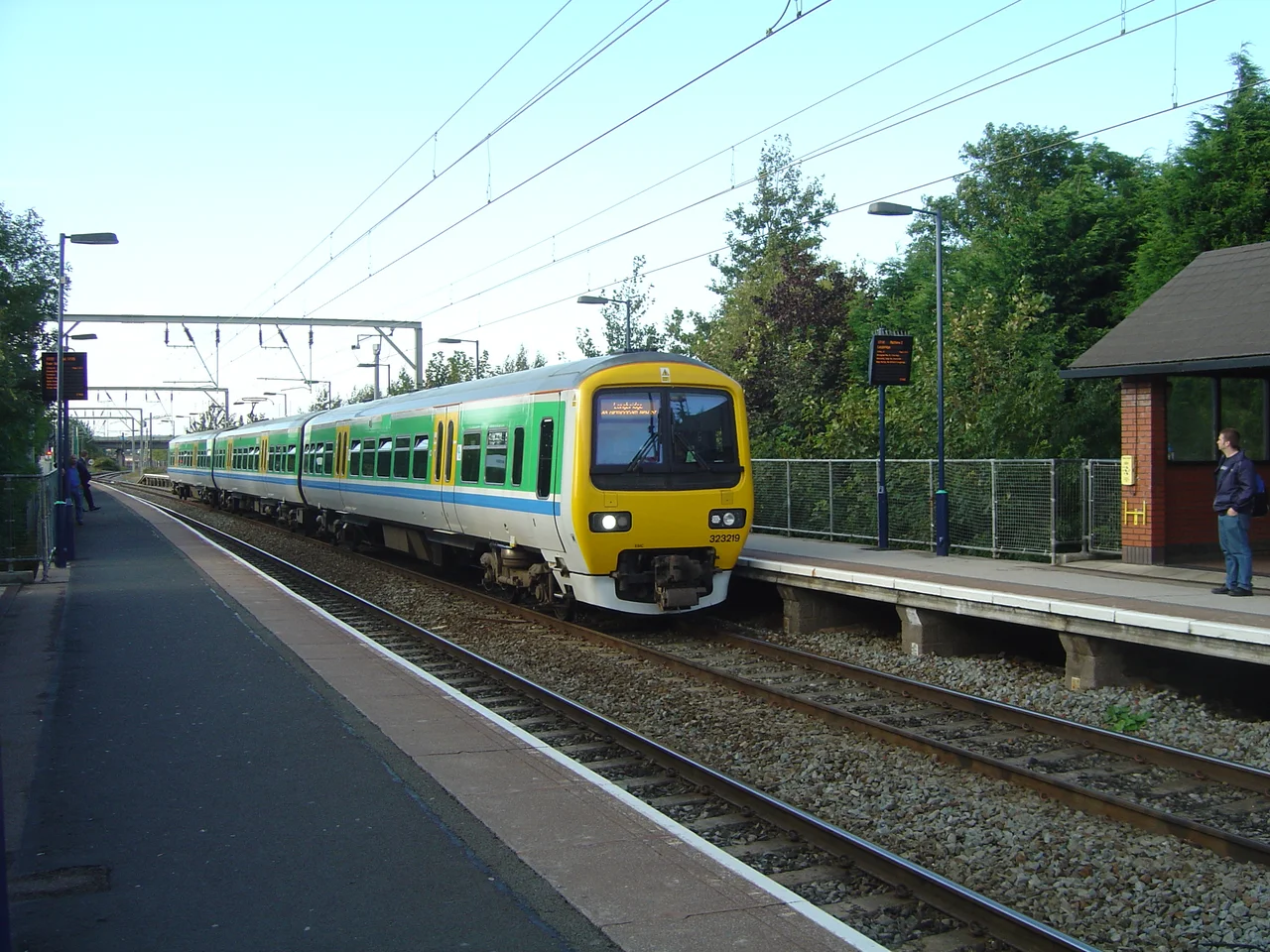

Aston
Heavy metal was invented on Lozells Road in Aston. Four working-class kids -- Ozzy Osbourne, Tony Iommi, Bill Ward and Geezer Butler -- grew up in the streets between the Hippodrome and the railway, lost their nerve in the local factories, and made a kind of music that pulled the gloom of post-industrial Birmingham up out of the ground. They called themselves Black Sabbath. Forty years later, the genre they founded had spread to every continent, but the source kept its address. Aston is barely a mile and a half from central Birmingham, but it has always felt like its own place. In 1911, it was its own place -- a civil parish of 219,082 people, larger than most English cities -- and only the boundary commissioners' pen erased the line.
Estone in the Domesday Book
The Domesday Book of 1086 lists "Estone" with a mill, a priest, woodland and ploughland. "Ast" is east -- east of what, the surveyors did not specify, but Birmingham was already there, a smaller settlement separated from Aston by AB Row, a boundary that still exists today as fifty yards of pavement in the Eastside district. The Church of Saints Peter and Paul replaced an earlier medieval church on the same site; its fifteenth-century tower and spire survived a rebuilding in 1776 and a further reconstruction of the body of the church by J. A. Chatwin between 1879 and 1890. Sir Thomas Holte, 1st Baronet, built his great Jacobean house here in the early seventeenth century -- Aston Hall, brick and stone with chimneys like a small town, where Charles I sheltered for a night during the Civil War before the Battle of Edgehill. Holte was buried in the church in 1654.
The Industrial Parish
By the late Victorian period Aston was densely built and densely peopled, hemmed in by tramcars and factories. The Aston Hippodrome drew variety acts; the Bartons Arms pub still serves drinks beneath ceramic tiles by the same firm that decorated the London Underground. The Premier Motor Works on Aston Road built early cars. The brewery on Upper Thomas Street made vinegar. The tramcar depot on Miller Street, opened in 1904, could store 104 vehicles. Aston Manor became an Urban District in 1903 and then, in 1911, was swallowed by the County Borough of Birmingham -- the parish abolished on 1 April 1912, its 219,082 residents folded into a single municipal whole. The streets stayed the same. The boundary just disappeared from the map.
Villa Park
Aston Villa Football Club did not start here in any pure sense; it began as a Wesleyan chapel team in nearby Handsworth. But the club bought the grounds of Aston Lower Grounds in 1897 and built Villa Park on them, and the stadium has been one of the great English football venues ever since. It has staged FA Cup semifinals, England internationals, World Cup matches in 1966, European Championship games in 1996, and rugby union and rugby league internationals besides. On a match day the streets between the church and the ground fill with claret and blue. Aston Villa won the European Cup in 1982. Aston has produced one of football's most decorated clubs, even if Aston University -- founded later, named for the area -- pulled its campus 1.3 miles south into the city centre, where the students mostly think Aston is somewhere else entirely.
Peaky Blinders, Real and Otherwise
Long before Steven Knight wrote a television series about the Shelby family, real Peaky Blinders worked the streets of Birmingham. They were a late-Victorian and Edwardian gang that operated in the slums between Aston, Small Heath and Bordesley -- young men in flat caps, sometimes with razor blades sewn into the peaks, who fought rival gangs over territory and racing tracks. The Aston Hippodrome, the smoky pubs along the High Street, the railway arches: these were the geography. Knight's drama compressed the gangs into one family and shifted some of the chronology, but the social fabric was real. Working men with limited futures, immigrant Irish and English families in the same back-to-backs, a city that paid in factory wages and asked few questions about how leisure money was earned. Aston has been trying to live alongside the legend, and sometimes to profit from it, ever since the show became a global hit.
Inner-City, Multi-Ethnic
By the 1980s Aston's Victorian terraced houses were tired -- many lacking bathrooms, many lacking indoor toilets. The council put money into renovation rather than demolition; from 2001 to 2011 the area went through a 54 million pound regeneration programme called Aston Pride, which built a new health centre, helped over 1,300 people into work, and tried to push back against decades of disinvestment. The 2011 census found 22,636 people living in the Aston ward. The largest ethnic group was Asian at 69.1 percent, with Pakistanis the single biggest community at 30.9 percent of the ward total. Black British residents accounted for 16.4 percent; White British, 7.8 percent. Forty-four percent of residents had been born outside the United Kingdom. The schools include King Edward VI Aston, the constituency's only grammar school, and seven primaries. The Aston Hippodrome is gone. The Bartons Arms still pours pints. Aston Hall opens for visitors, the Holte family's enormous house remembering when this was the countryside east of a smaller town.
From the Air
Located at 52.50N, 1.88W, roughly 1.5 nm north of Birmingham city centre and immediately south of the M6/A38(M) Aston Expressway interchange. Villa Park is the most prominent visual landmark -- a four-stand football stadium with a distinctive red-brick Holte End. Aston Hall sits in parkland to the north. Nearest airports: EGBB (Birmingham, 6nm SE), EGBE (Coventry, 22nm SE), EGOC (RAF Cosford, 15nm W). Spaghetti Junction is visible just north of the area at 2,000-3,000 ft AGL.
Nearby Stories
- Shepshed 8.5 km away
- Battle of Evesham 11 km away
- Hixon rail crash 12 km away
- Battle of Cropredy Bridge 12 km away
- Wenlock Priory 15 km away
- RAF Shawbury 16 km away
- Market Bosworth 17 km away