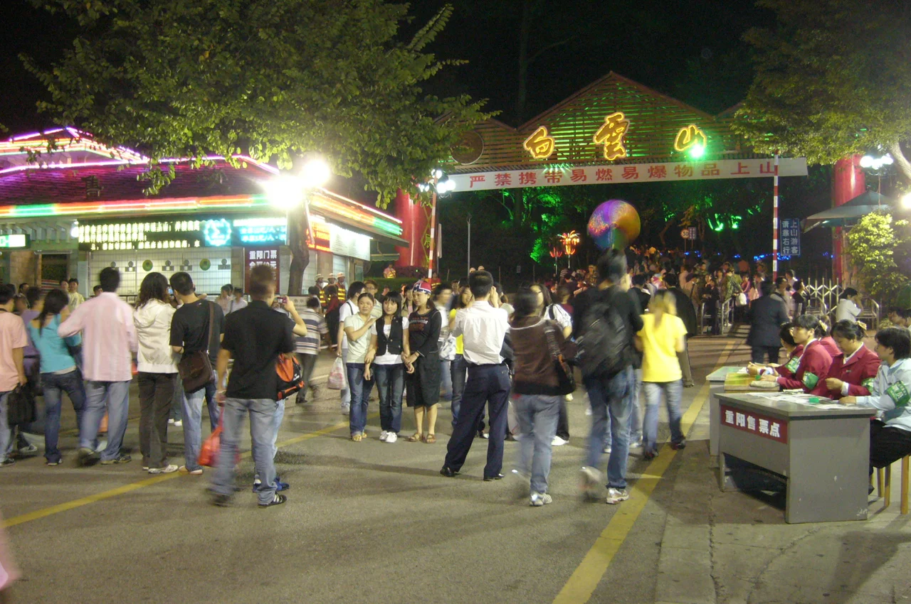

Baiyun Mountain
After a rain, or in the thick humidity of late spring, mist pools around the peaks north of Guangzhou and the mountain seems to float. This is how it earned its name: Báiyún, meaning white clouds in Mandarin. People have been making the climb to Baiyun Mountain since before Guangzhou existed — before the city of Panyu was founded on the Pearl River delta in 214 BC. The mountain was old when the city was young, and in the two millennia since, it has outlasted dynasties, rewilded itself after periods of encroachment, and remained the green counterweight to one of China's most densely urbanized landscapes.
A Mountain Older Than the City
Baiyun Mountain rises 382 meters above the flat delta terrain to the immediate north of Guangzhou. At that height it is not dramatic by the standards of Chinese mountain scenery — no sheer faces, no knife-edged ridges. What it offers instead is proximity and continuity. Celebrities and scholars of the Warring States period, the turbulent centuries between the 5th and 3rd centuries BC, were among the earliest recorded visitors. That a mountain this close to a major trading settlement became a place of retreat and reflection makes a kind of sense: the city was always there, pressing from below.
During the Jin dynasty (3rd to 5th centuries AD) and the Tang dynasty (7th to 9th centuries), poets and officials praised the mountain in verse. The beauty of its mist and peaks became the kind of thing educated people were expected to have an opinion about.
Among the Eight Sights of Ram City
Guangzhou carries an old nickname — Ram City — derived from a founding legend. Since the Song dynasty, the city has maintained a tradition of listing its finest scenic spots as the Eight Sights of Ram City, and Baiyun Mountain has been a recurring presence on those lists for centuries. The specific scenes selected have changed with each era, but the mountain itself has remained the constant — the anchor of the northern skyline, the thing you point to when someone asks what Guangzhou looks like from a distance.
Few of the historical sites on the mountain itself have survived the intervening centuries intact. What remains is the landscape: the forest, the ridgelines, the way the air cools as you ascend, and the view south over the city that has been spreading below for more than two thousand years.
Guangzhou's Lung
Baiyun Mountain Scenic Area is today a national park and one of China's AAAAA-rated tourist attractions — the highest classification in the country's scenic area system. The designation reflects both the scale of the visitor infrastructure and the ecological significance of the site. In a city of more than fifteen million people, Baiyun Mountain functions as the urban forest that the delta's flat terrain cannot otherwise provide.
The mountain is home to the Moxing Ridge, Mingchun Valley, and Luhu areas, each with distinct character — from manicured gardens to denser forest paths. Cable cars and paved trails make the summit accessible. On weekends, tens of thousands of Guangzhou residents come here simply to walk in trees, to breathe cooler air, to look down at the city from a height it never reaches. The mountain gives the city a sense of perspective that no skyscraper can replicate.
What the Mist Hides
The name is literal. On mornings after rainfall, or during the humid weeks of late spring, the peaks disappear into low cloud and Baiyun lives up to its promise. From the streets of Guangzhou's Baiyun District below, the mountain appears to exist in a different atmosphere — cooler, quieter, less certain of its own edges.
This quality — the way the mountain withholds itself in certain light, becoming less a landform and more a condition — is part of why it persisted in the city's imagination through so many centuries and so many regimes. It is not the kind of place that announces itself dramatically. It earns its place on lists of beautiful things by returning, again and again, to offer the same mist-wrapped morning it has always offered, to whoever needs it.
From the Air
Baiyun Mountain rises at approximately 23.187°N, 113.295°E, directly north of Guangzhou city center in Baiyun District. Its 382-meter summit (Moxing Ridge) is identifiable from the air as the largest area of dense forest interrupting the sprawling urban grid of the Pearl River delta. On approach to Guangzhou Baiyun International Airport (ZGGG) — whose own name references the mountain — the forested ridgeline passes beneath the flight path for runway 02R/L. Viewing altitude for the mountain and surrounding Guangzhou metro area is best between 3,000 and 6,000 feet. The Pearl River loops through the southern portions of the city; Canton Tower is visible to the southeast.
Nearby Stories
- Shunde 12 km away
- 2015 Shenzhen Landslide 15 km away
- Mount Luofu 23 km away
- Qingyuan Maglev Tourist Line 32 km away
- Kaiping 56 km away
- Heyuan 90 km away
- Chikan, Kaiping 92 km away
- Erlitou Site Museum of the Xia Capital 1257 km away