
Battle of Rich Mountain
George McClellan would later be remembered as the Union general who could not bring himself to fight, the cautious commander Lincoln finally fired for never being ready. But on a humid July morning in 1861, on a forested ridge in what is now West Virginia, McClellan got a victory that made his career. It was not won by him. It was won by a different general, William Rosecrans, who took 1,900 men through ten hours of wet, rough terrain - leaving his artillery behind - to come up behind Confederate Lt. Col. John Pegram on Rich Mountain. By 2:30 in the afternoon, Rosecrans' brigade had appeared at the pass and attacked. By the next day, 555 Confederates had surrendered, the Allegheny passes were open to Union troops, and McClellan was on his way to command the Army of the Potomac.
A War in the Mountains
The Civil War's western Virginia campaign rarely makes the highlight reels. Gettysburg, Antietam, Vicksburg - those are the names that stuck. But in the summer of 1861, the question of who controlled the Allegheny passes mattered enormously. The mountains separated Confederate-leaning eastern Virginia from the Unionist counties of the west, and whoever held the ridges could decide whether the new state slipping out of Virginia's grasp would survive long enough to become West Virginia. Brig. Gen. Robert S. Garnett, the Confederate commander in the region, posted Pegram with a smaller force on Rich Mountain while he held nearby Laurel Mountain. The plan was sound enough on paper. The terrain was about to make it irrelevant.
The Flank Through the Woods
McClellan greatly outnumbered Pegram but hesitated, persuaded by inexperienced subordinates to open with an artillery duel. Rosecrans pressed for a different plan: take a brigade through the woods and hit the Confederates from behind. A local named Hart guided the column over wet, broken ground that forced them to abandon their guns. Ten hours of slogging brought 1,900 men to the pass behind Pegram's position. There, near David Hart's family farm, Captain Julius De Lagnel - Garnett's chief of artillery - had taken command of a thin defensive line. When Rosecrans attacked at 2:30 in the afternoon, De Lagnel's men resisted hard, but the position could not hold. Half the Confederates broke for Beverly and the Shawnee Trail. The rest, including the 'Sydney Boys' raised from Hampden-Sydney College students, tried to escape north to Garnett.
The Sydney Boys and the Surrender
Pegram's column was already worn down by the climb and the fight. The escape route demanded more endurance than the men had left. By July 12, Pegram surrendered 555 troops - among them the college students who had marched off to a war they imagined would be short and glorious. Garnett, learning of the disaster, withdrew from Laurel Mountain and tried to slip away to the north. He was killed at Corrick's Ford on the Cheat River, the first general officer to die in the Civil War. The Union victory was instant news. McClellan, who had not led the flanking march or fought in the woods, was nonetheless lifted by the headlines. Within two weeks he was ordered to Washington to take command of the Army of the Potomac.
Camp Garnett, Preserved
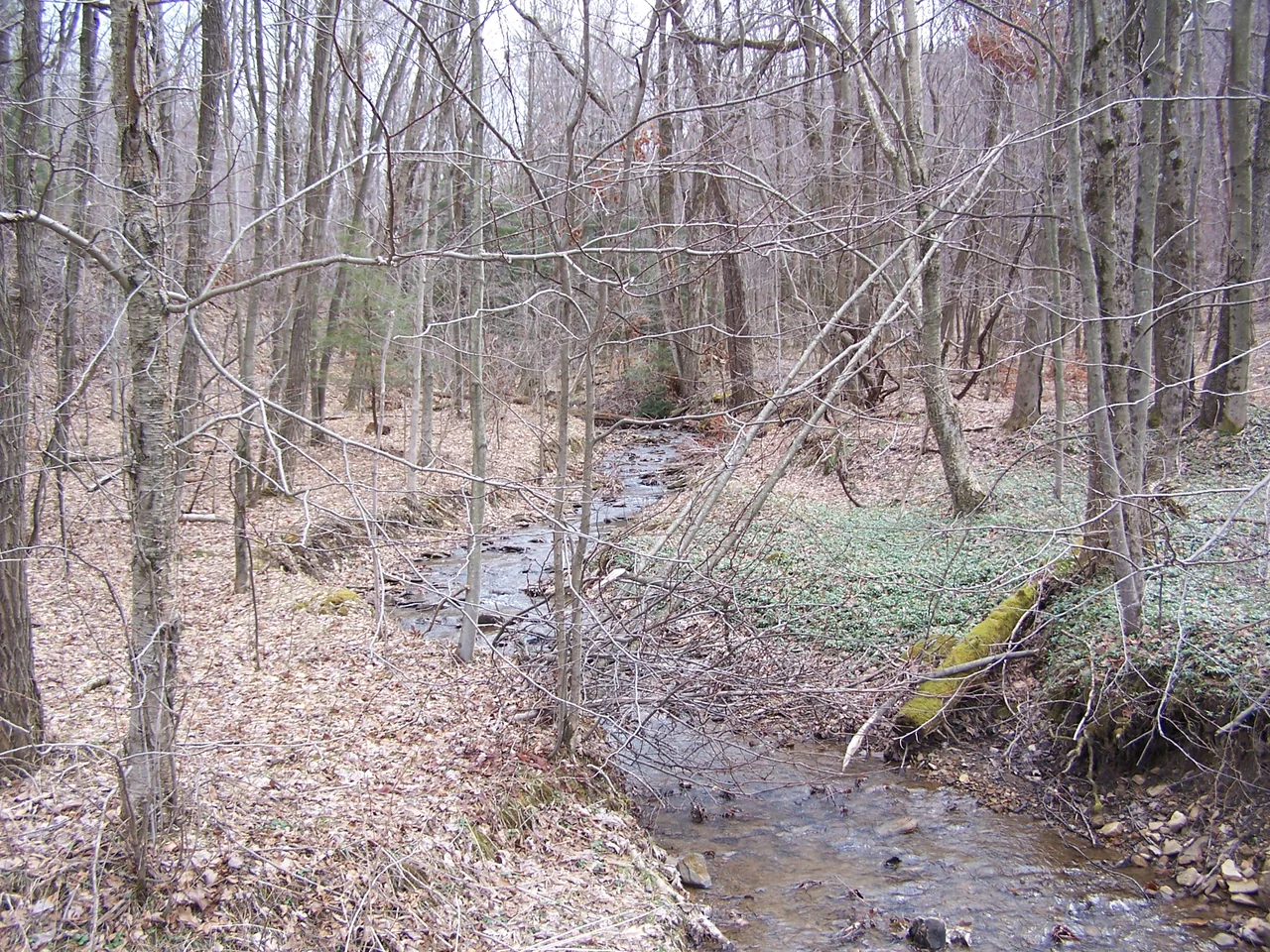
Rich Mountain is not a famous battlefield. There are no thousand-acre national parks here, no statues by the dozen. But the Rich Mountain Battlefield Foundation and the American Battlefield Trust have together preserved 57 acres, including Camp Garnett where De Lagnel's men dug in and tried to hold. A historical marker stands on the ridge. The dirt road still climbs through the same forest the flanking column waded through. Walk it on a humid July day and the silence becomes a kind of evidence - of how a battle that helped split a state in two was decided by mud, miles, and the willingness of one general to leave his cannons behind.
From the Air
Located at 38.87 degrees north, 79.93 degrees west, in Randolph County, West Virginia, about 5 miles southwest of Beverly. Best viewed from 4,000 to 6,000 feet AGL. The battlefield sits on the ridge between the Tygart Valley and the upper Buckhannon drainage - look for the forested spine running roughly north-south. Nearest airport is Elkins-Randolph County (KEKN), about 7 miles north. Visibility in this part of the Alleghenies can drop quickly with afternoon convection in summer; morning passes give the cleanest view of the ridge structure.
Nearby Stories
- North Fork Mountain 1.4 km away
- Roaring Plains West Wilderness 1.8 km away
- Cheat Mountain 6.8 km away
- Salem University 10 km away
- Weston and Gauley Bridge Turnpike 12 km away
- International Mother's Day Shrine 16 km away
- Mount Storm Power Station 16 km away
- Sutton, West Virginia 18 km away