
Bealach na Bà
Sea level to 626 metres in six kilometres. There is no road in the United Kingdom with a longer continuous ascent, and very few in Europe that match its hairpin density. The Bealach na Ba climbs out of Loch Kishorn on the west coast of Scotland, switchbacks up the headwall of a glacial corrie at gradients approaching one in five, and then drops down the other side to the remote village of Applecross. In Gaelic the name means simply Pass of the Cattle. It was built in 1822 to move livestock - shaggy black cattle, mostly - down to the great drovers' markets at Muir of Ord and Falkirk, and on as far as London. The cyclists who toil up it now and the tour buses that, against all advice, try to get to the top, are following a path laid down for hooves.
Building the Pass
There had been a track over the bealach since Saint Maelrubha's monks first walked it in the seventh century. A proper road was a different matter. Construction of the engineered road began in May 1818 - and immediately ran into trouble. The first contractor lasted three months before giving up. John Reid & Son of Edinburgh eventually took over and finished the job in September 1822 at a cost of around four thousand pounds, equivalent to about half a million pounds today. The landowner received a 75% government grant for it. The result was a single-track ribbon engineered in the style of an Alpine pass, with tight hairpins and gradients that switch through twenty percent in places. For more than a century the surface was rough gravel, brutal on cart axles and impossible to keep clear of snow. For weeks at a time in winter the only way in or out of Applecross was by sea. Between 1956 and 1958 the road was finally levelled and tarmacked, and three of the top hairpins were widened. Even now there is signage at both ends warning learner drivers, caravans and large vehicles to use the long coastal road instead.
What It Feels Like
From Tornapress at the eastern end the road runs gently along the head of Loch Kishorn for a few kilometres, lulling you. Then it lifts. The first hairpin shows up as a wall and you understand you should have shifted down two gears already. The next mile climbs through low rock and tight bends, the sea behind you and the corrie of Coire na Ba opening up to the north. Then comes the headwall: the road kinks sharply right, then sharply left, then sharply right again, threading the cliffs below Sgurr a' Chaorachain. There is almost no shoulder. Passing places are signed and frequent and absolutely necessary. Country Life magazine described it as "the single-track, historic drovers' lane that travels up, down and around hairpins through the mountains of the remote Applecross peninsula as if they were the Alps." In 2025 the Daily Telegraph called it "a worldwide motoring phenomenon." Both descriptions feel right when you are halfway up and a campervan is coming the other way.
The Top
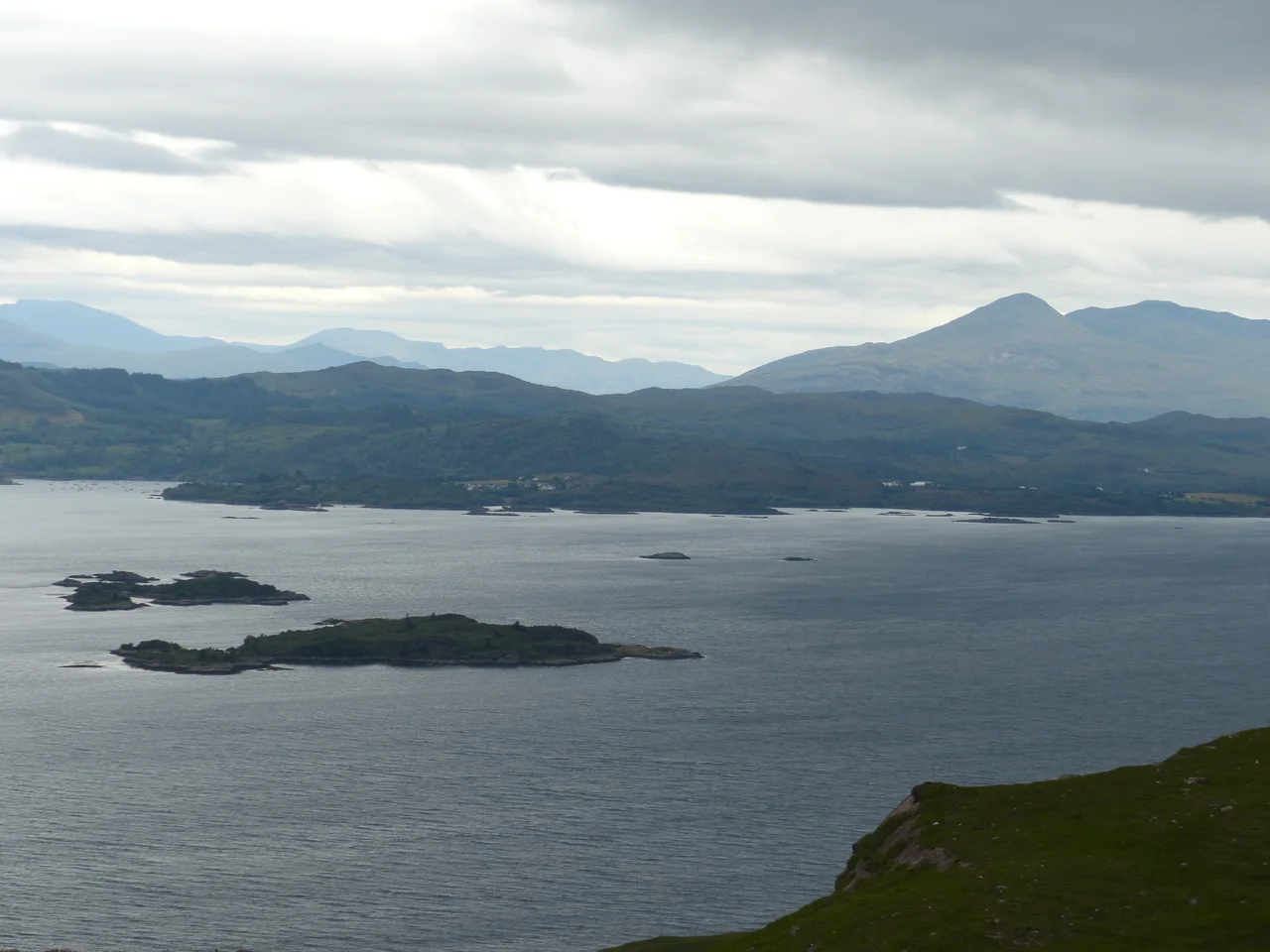
At 626 metres the road levels onto a high plateau with parking and a small viewpoint. On a clear day - which is uncommon - the view runs across the Inner Sound to the Cuillin of Skye, with Raasay and South Rona below. On a typical day there is cloud, and the wind is doing whatever it wants. The Bealach na Ba has a tundra climate by the Köppen classification - the same designation given to mountaintops in Iceland and parts of Norway. The Met Office maintains a weather station up here. Snow can lie on the road into May. Pulling over and stepping out is to enter a different country from the one you started in down at Kishorn: bare scree, no trees, only mountain hares and an occasional ptarmigan. Then the road begins its drop toward Applecross, switchbacking down the western side to the sea-level village and the sound of the Atlantic on Applecross Bay.
Sheep, Movies, and Bikes
The 1995 BBC comedy-drama Hamish Macbeth, most of which was filmed nearby at Plockton, includes a sign on the bealach that reads "Narrow road - no more than three sheep abreast." The sign was a joke; the conditions are not. The road also appeared in the 1953 film Laxdale Hall (produced by Group 3, in the Ealing comedy style), in which a fictional version of the Applecross community protests its terrible road by refusing to pay road tax. Since 2006, a pair of cycling sportives has been staged over the pass: the 70 km Bealach Beag each May and the 144 km Bealach Mor each September, both of which attract serious club riders who treat the bealach as a kind of British Alpe d'Huez. Since the launch of the North Coast 500 driving route in 2015, the Bealach na Ba has become one of the most photographed roads in Britain - which has brought enough traffic to genuinely worry the local community trust, and prompted a long-running conversation about how to share a road that was designed for cattle with a stream of cars.
From the Air
Bealach na Ba runs east-west across the Applecross peninsula at 57.43N, 5.75W, with its summit at 626 m / 2053 ft - the third-highest road pass in Scotland. The road is approximately 17 km / 11 mi long, climbing from sea level at Tornapress on Loch Kishorn to the high plateau and descending to Applecross village on the west coast. The summit lies immediately south of Sgurr a' Chaorachain (792 m / 2599 ft); to the north opens the corrie of Coire na Ba. Visual landmarks: the long line of Loch Kishorn to the east, the village of Applecross and the Inner Sound to the west, the Skye Cuillin 18 nm beyond. Nearest ICAO airports: Inverness (EGPE) 60 nm east, Plockton airstrip (EGEC) 17 nm south, Stornoway (EGPO) 80 nm northwest. Recommended viewing altitude 4000-5000 ft AGL to clear the surrounding peaks. The pass has tundra climate (Köppen ET); strong orographic cloud and snow can persist into late spring.
Nearby Stories
- Duntulm Castle 3.3 km away
- Sabhal Mòr Ostaig 6.3 km away
- Fairy Lochs 7.6 km away
- Talisker distillery 10 km away
- Rùm 14 km away
- An Teallach 17 km away
- Glen Affric 22 km away
- Stand-off at the Fords of Arkaig 26 km away