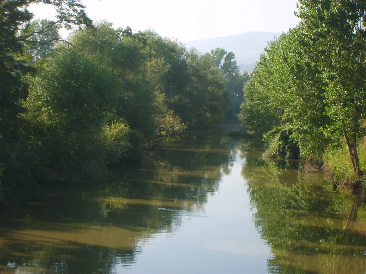

Biga Çayı
The name it carries now is Biga Çayı. The name it carried in antiquity was Granicus — Granikòs Potamós in Greek, roughly 'the river named for Graecus,' though the etymology is ancient and obscure. Whatever you call it, the river is not large. It rises at the base of Mount Ida in the Troad, trends northeast through agricultural lowlands, passes the towns of Çan and Biga, and enters the Sea of Marmara at Karabiga, about 50 kilometers east of the Dardanelles. Ancient geographers described it as having a strong, turbulent current with steep banks and varying depth. In modern times it crosses quietly under road bridges, unhurried and unremarkable. But a river does not need to be large to carry a heavy history.
From Mount Ida to the Marmara
The Biga Çayı begins its life on the slopes of Mount Ida — the mountain called Kaz Dağı in Turkish, sacred in antiquity as the throne of Zeus, the place from which the gods were said to watch the Trojan War unfold on the plains below. From those heights the river descends through the Troad, the region of northwestern Turkey that takes its name from ancient Troy. It collects tributaries as it moves northeast, passing through Çan, then bending toward Biga, before reaching the coast at Karabiga — a small port on the Sea of Marmara whose name preserves the old identity of the river that flows through it. The river is also known locally as the Çan Çayı and the Kocabaş Çayı, alternative names that reflect the towns along its course rather than its ancient identity. Along the way it passes through terrain that has been farmed for thousands of years: wheat fields, olive groves, villages of stone and tile whose inhabitants live in proximity to one of the most historically layered landscapes on earth without necessarily thinking about it every day.
The River That Stopped an Empire
In May 334 BC, Alexander the Great crossed this river and defeated the Persian satraps waiting on the far bank. It was his first major victory against the Achaemenid Empire, the opening move in a campaign that would eventually carry him from Macedonia to the borders of India. The battle was called the Battle of the Granicus. Ancient writers described the crossing as difficult — steep banks, a strong current, javelins raining down from the defenders on the eastern shore — though modern visitors have noted that the river at its likely crossing point is not especially formidable. The discrepancy may be the result of seasonal flooding, changes in the riverbed over two millennia, or the tendency of ancient historians to amplify the obstacles their heroes overcame. The strategic consequences of the crossing were not exaggerated. Within days of the battle, Sardis, the former Lydian capital and a key Persian administrative center, had surrendered to Alexander without a fight.
Where the Battle Was Fought
Scholars have argued for decades about exactly where on the Granicus the battle took place. The river has shifted in its valley over the centuries; the ancient course may have run somewhat further east than the modern channel. The classicist N. G. L. Hammond proposed that the ford was located between the modern villages of Gümüşçay and Çeşmealtı, near a long ridge that matches the ancient historians' description of where the Persian infantry was stationed. That theory has found wide support. Visitors to the area today cross the Biga Çayı on bridges and travel roads that follow the same general corridors that ancient armies used, through a landscape whose agricultural character has not changed fundamentally since the fourth century BC, even if the specific fields and the specific villages are entirely different.
A Name on Another World
The Granicus lent its name to more than a battle. On Mars, a long sinuous valley system carries the name Granicus Valles — a channel carved by ancient water or lava, running for 750 kilometers at 29.72° North, 131.0° East. Planetary scientists who named it reached back to the classical world, as planetary nomenclature often does, connecting this small Turkish river to the surface of another planet. The naming says something about the Granicus's place in cultural memory: it is famous enough, in the long tradition of classical education, to serve as a landmark on Mars. The river itself flows on in Çanakkale Province, indifferent to its celestial namesake, carrying snowmelt from Mount Ida toward the blue expanse of the Sea of Marmara just as it has for millennia.
From the Air
The Biga Çayı flows generally northeast through Çanakkale Province, entering the Sea of Marmara at Karabiga at approximately 40.383°N, 27.300°E. From the air at 3,000–5,000 feet the river is visible as a curving blue-silver thread through agricultural lowland, with Mount Ida (Kaz Dağı) visible as a prominent forested massif to the south. The town of Biga lies roughly 15 km south of the river's mouth. The nearest airport is LTBH (Çanakkale Airport), approximately 50 km to the southwest; LTBG (Bandırma Airport) is about 65 km to the northeast across the Marmara. The Battle of the Granicus likely took place near the river's mid-course, around the area of Gümüşçay, visible from altitude as a distinct bend in the river roughly 25 km upstream from Karabiga.
Nearby Stories
- Erdek 6.5 km away
- Ganos 17 km away
- Battle of Aegospotami 18 km away
- Battle of the Hellespont (321 BC) 21 km away
- Sea of Marmara 25 km away
- 1953 Yenice–Gönen Earthquake 25 km away
- Canakkale Martyrs' Memorial 43 km away
- Uzunköprü Bridge 75 km away