.jpg)
Bilsk Hillfort
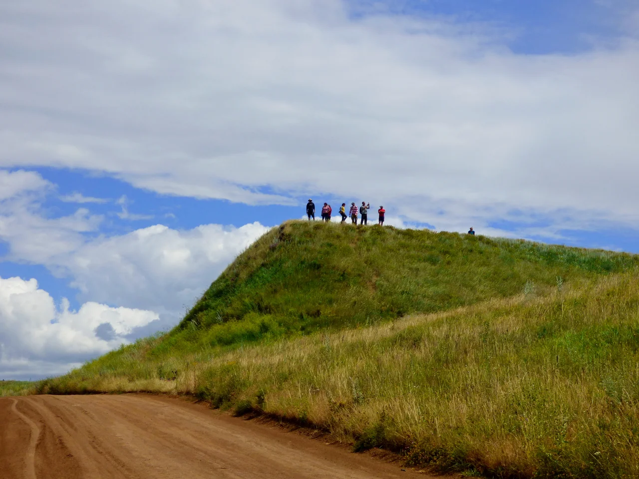
Twenty-five centuries ago, someone stood on this ridge between two rivers and decided to enclose a piece of the world so vast it strains belief. The result was the Bilsk hillfort, and when its builders finished raising earth and timber, no settlement or fortification anywhere in Europe was larger. Its ramparts run for nearly thirty-four kilometers; the ground they encircle covers 4,400 hectares. Some of those earthen walls still rise from the forest-steppe today, weathered but visible, stretching over the horizon. This was no mere fort but a great center of the Scythian age, and many scholars believe it may be the wooden city that Herodotus, the first historian, called Gelonus.
A Fortress the Size of a City
Bilsk is really three fortified settlements, Kuzemyn, Western Bilsk, and Eastern Bilsk, bound together by the immense enclosing wall known as the Great Bilsk hillfort. The two primary strongholds went up in the seventh and sixth centuries BC, one above the Sukha Hrun and one above the Vorskla, and the Kuzemyn fortification followed in the fifth. Each was defended by deep ditches and tall ramparts topped with wooden walls and towers. The Great fortification's defenses alone stretch nearly twenty-six kilometers. Beneath it all lie even older traces, Bronze Age layers of the Srubnaya and Bondarikha cultures, so that the site records not one moment but the deep sediment of human presence on the edge of the steppe.
The People Inside the Walls
The community that filled Bilsk was not a single tribe but a mingling of peoples, the Budini, the Gelonians, the Neuri, and probably others, living together within the ramparts. Excavations have uncovered the texture of their daily life: sunken and above-ground dwellings, cellars and granary pits, and the workshops of blacksmiths, bronze founders, jewelers, potters, and bone carvers. There are altars and temples, one perhaps used for astronomical observation, and scatterings of ceramic figurines, human, animal, and bird-shaped, along with objects that hint at fertility cults tied to the fields. On the eastern settlement, archaeologists even found signs of planned farmsteads and two-story wooden buildings, a real town rather than a rough camp.
Roads to the Ancient World
What made Bilsk thrive was its position and its reach. Sitting where the open steppe meets the forest-steppe, it commanded an extensive web of river and land routes. Boats set out from a pier near Kuzemyn down the Vorskla to the Dnieper and on to the Greek colony of Olbia on the Black Sea coast; overland tracks led to the Muravsky Trail running south toward the Greek cities of the Crimea. Along these arteries flowed trade on a large scale, and the goods left behind prove it: imported painted dishes, amphorae, and glassware from many centers of the classical Mediterranean world. A settlement deep in the Ukrainian interior was woven, through commerce, into the life of ancient Greece.
Fading and Finding
Around the third century BC, the world that sustained Bilsk began to unravel. Shifts in climate disrupted the trade and farming the settlement depended on, croplands grew less productive, and life gradually ebbed away until the great center was no longer great. Smaller communities came and went across the centuries, and in the early seventeenth century Cossacks and settlers worked the ground for saltpeter, damaging the ancient ramparts in the process. Serious archaeology began in 1906 with Vasily Gorodtsov, and since 1954 the site has been studied systematically, notably by Boris Shramko and later a joint Ukrainian-German expedition, with excavations continuing today under Iryna Shramko. Slowly, the darkness of antiquity that once baffled early observers is giving up its secrets.
From the Air
The Bilsk hillfort lies at about 50.09°N, 34.64°E, spanning the interfluve of the Vorskla and Sukha Hrun rivers near the village of Bilsk, on the Poltava-Sumy oblast border. From 2,500 to 5,000 feet the long, low lines of the earthen ramparts and the burial mounds among the forest-steppe are the site's signature, best seen in low-angle light. Poltava International Airport (UKHP) is the nearest major field, to the south-west.
Nearby Stories
- Krasnokutskyi Arboretum 8.2 km away
- Velyki Sorochyntsi 11 km away
- Hadiach 13 km away
- Poltava Museum of Long-Range and Strategic Aviation 17 km away
- Okhtyrka 20 km away
- Borki Train Disaster 70 km away
- Kremenchuk 91 km away
- Central Black Earth Nature Reserve 119 km away