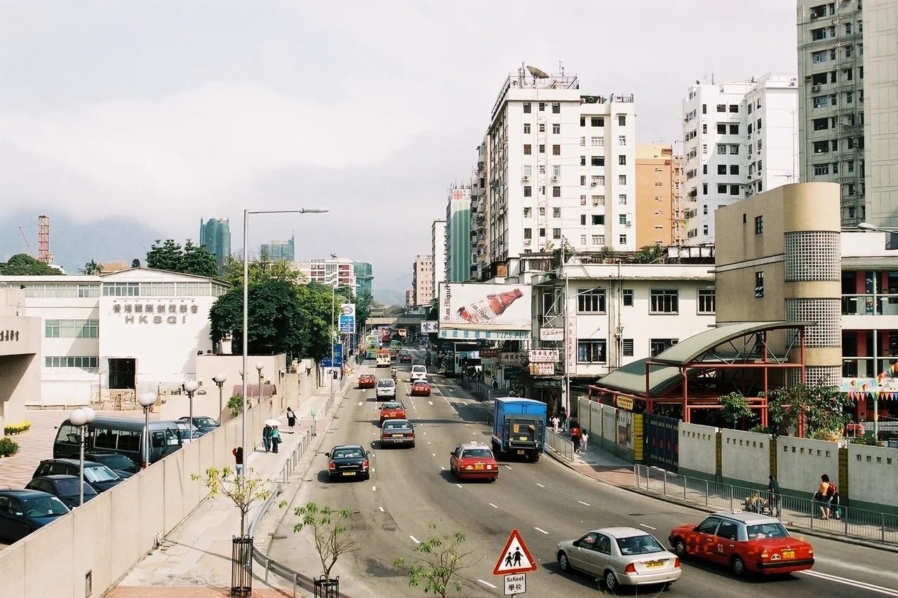

Boundary Street
For decades, you could stand on one side of this road and be in British Hong Kong, and on the other side be in Qing China. Boundary Street — 界限街 — was not metaphor. It was a real frontier, surveyed and enforced, the product of two 19th-century conventions that sliced the Kowloon peninsula into competing sovereignties. Today it is a one-way street in a dense urban neighborhood, carrying eastbound traffic past schools and a park, unremarkable to every driver who passes through. But the asphalt runs along one of the most consequential lines ever drawn in East Asia.
How an Empire Drew the Line
In 1860, the Qing dynasty ceded the southern tip of the Kowloon peninsula to Great Britain, along with Stonecutters Island in the harbor. The territory transferred was bounded to the north by a line that would eventually be given a name. Then in 1898, under the Second Convention of Peking, Britain negotiated a 99-year lease of the New Territories — the much larger expanse of land stretching north from that original boundary to the Shenzhen River. Overnight, the line changed character. It had been a hard border; now it divided two parts of the same colonial possession. The northern half — New Kowloon — remained technically distinct from Kowloon proper for administrative and legal purposes, even as daily life increasingly ignored the distinction. The Qing garrison was gone. The frontier had dissolved into a neighborhood.
The Bamboo Fence That Held Two Worlds Apart
While it functioned as a border, the boundary was marked by a long line of tall bamboo fences. The image is quietly extraordinary — two empires separated by woven plant fiber, a barrier that was both symbolic and practical. It effectively blocked smuggling between Chinese Kowloon to the north and British Kowloon to the south, at a time when customs duties and colonial regulations made the difference between the two sides economically significant. When the New Territories lease came into effect in 1898 and both sides of the fence came under British administration, the bamboo barrier became obsolete. It came down. The boundary was quietly renamed from Boundary Line to Old Frontier Line, a designation that acknowledged what it had become: a memory of division in a landscape that was rapidly being stitched together.
The Road That Arrived Thirty Years Late
Here is the oddity buried in Boundary Street's history: the road itself did not exist when the boundary mattered. The physical street was not built until 1934 — more than three decades after the lease of New Kowloon and more than seventy years after the original cession. It was constructed specifically to accelerate development in Kowloon Tong and to formalize the different rates calculation that still applied north and south of the old line. By the time traffic first moved along Boundary Street, the frontier it commemorated had been irrelevant for a generation. The road was, in a sense, a monument to a border that no longer existed — a legal artifact in tarmac.
One Line, Two Sovereignties, One Handover
On 1 July 1997, sovereignty over all of Hong Kong — both sides of Boundary Street — passed from the United Kingdom to the People's Republic of China. The handover ceremony united territories that had been legally distinct for well over a century. In everyday life, this changed little along the street itself. New Kowloon had long been treated as part of the Kowloon urban area by anyone who lived there, whatever the statute books said. But the old arrangement persisted in narrow technical contexts: statutory purposes and land rent calculations still observe the original division. Drive down Boundary Street today and you would never know it. That is, perhaps, the most complete form of historical reconciliation: a boundary so thoroughly overtaken by life that it survives only in property law and in a street name.
From the Air
Boundary Street runs east-west through central Kowloon at approximately 22.3267°N, 114.1716°E, visible as a clear urban corridor from the air. It lies roughly 5 km north of Kowloon's southern waterfront and about 25 km east of Hong Kong International Airport (VHHH). The former Kai Tak Airport — whose legendary IGS Checkerboard Approach over Kowloon City brought aircraft down through the hills just to the east — sits 3 km to the southeast of Boundary Street. Recommended viewing altitude over the Kowloon urban grid is 500–700 metres MSL in clear conditions.
Nearby Stories
- Chapel of St. Francis Xavier 3.5 km away
- Cuiheng 4.1 km away
- 2015 Shenzhen Landslide 16 km away
- Shunde 31 km away
- Wanshan Archipelago 37 km away
- Nanxiong Formation 96 km away
- Heyuan 149 km away
- Checheng Fu'an Temple 629 km away