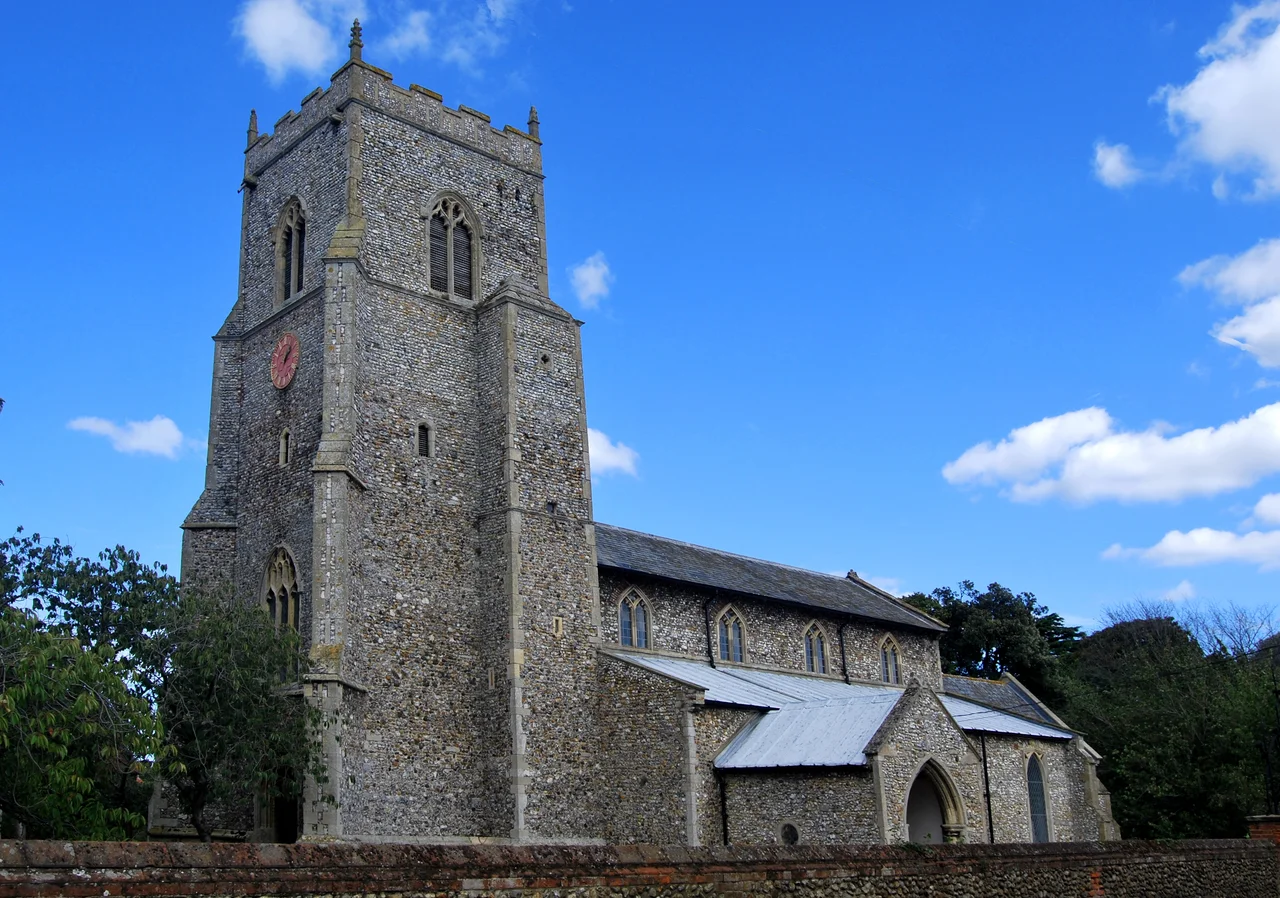

Brancaster
In the 1950s and 60s, the British government quietly considered Brancaster as a possible launch site for the British space programme. Today the village's defining drama is more domestic - the rotting iron hull of the SS Vina, which dragged her anchor in a north-westerly gale on 20 August 1944 and ran aground on the sand dunes. The RAF used her for target practice. She has been visible at low tide ever since, slowly disintegrating into the shifting sands of one of the most photographed stretches of the Norfolk coast. The space programme went elsewhere. The Vina did not.
Branodunum on the Saxon Shore
Just east of the modern village lies the rectangular outline of Branodunum, a Roman fort built around CE 230 to protect the approaches to The Wash. It later joined the network of Saxon Shore forts that defended late Roman Britain from raiding parties crossing the North Sea. The fort originally had a harbour - the Roman shoreline was right here. Today it is two miles inland, salt marsh having silted in across the centuries to push the sea back. A lidar survey reveals the buried ramparts in clean rectangular geometry, like a city map etched in pale shadows on a green field. Stand on the modern coast path looking north and you are standing where Roman officers once watched the horizon for Saxon sails. Stand on the same path looking south and you can see the church tower they would have built had they been able to imagine the next thousand years.
The Tidal Course
Royal West Norfolk Golf Club was founded in 1892 on the dunes between Brancaster village and the sea. Horace Hutchinson laid out the course, but the coastline kept rewriting his lines. At high tide the entire course can become an island, with several holes cut off from the clubhouse. The clubhouse itself sits on stilts, water swirling around its legs during spring tides. Golf Monthly listed it as the 47th best course in the UK and Ireland in 2014. Members joke that you can never play the same course twice - storms move shingle banks, tides redraw the green where you putted last season, and one famous par-5's fairway is dictated entirely by the position of the water. It is the most British golf experience imaginable: gentlemanly, slightly absurd, and at the mercy of forces no member committee can vote against.
Coast Path and Petrified Forest
The Norfolk Coast Path runs through the parish, winding across salt marsh and shingle. At low tide, just west of the golf clubhouse, fragments of a petrified forest emerge from the foreshore - dense black material similar to compacted peat or lignite, the remains of trees that grew here when sea levels were lower. Storms wash fresh fragments ashore. To the immediate north sits Scolt Head Island, a barrier island declared a National Nature Reserve, a haven for nesting terns and a buffer between the marshes and the rising North Sea. The National Trust manages much of the coastal section, including the Brancaster Manor marshes. The water that protects Branodunum from raiders today is the same water that quietly relocated the Roman shoreline several miles south.
Holkham Sands and Bolton's Nephews
Walk east along the coast and you reach Holkham beach, the vast expanse of pale sand and pine that turns up in films whenever a director wants infinity in a single frame. Walk west and you reach Burnham Deepdale, then Brancaster Staithe, then the procession of Norfolk Burnhams that culminates in Burnham Thorpe and the birthplace of Lord Nelson. Brancaster has a small naval pedigree of its own: John Weatherhead, a Royal Navy officer born here in 1775, served under Nelson and was killed at the Battle of Santa Cruz de Tenerife in 1797, aged 22. Captain Sir William Bolton, born in 1777, grew up here as the son of the rector and was Nelson's nephew by marriage. The connections crisscross the marshes - one Norfolk village, one rectory, one fleet - until you start to feel the whole north coast of Norfolk leaning slightly toward Trafalgar.
From the Air
Located at 52.962 degrees N, 0.641 degrees E on the north Norfolk coast facing the North Sea. From cruising altitude, look for the dark rectangle of salt marsh north of the village, the pale arc of Brancaster beach, and the distinctive shipwreck of the SS Vina visible at low tide. Best viewing 1,500-3,000 feet AGL. Nearest airport: former RAF Coltishall (EGYC, closed 2006) 30 nm east; RAF Marham (EGYM) 21 nm south; Norwich International (EGSH) 35 nm east-southeast.
Nearby Stories
- Maud Foster Windmill 2 km away
- Cley Marshes 4.3 km away
- Narborough Bone Mill 6.2 km away
- RAF Attlebridge 6.5 km away
- Crowland Abbey 13 km away
- HMS Cobra 19 km away
- Alford Windmill 23 km away
- RAF Binbrook 25 km away