
Cley Marshes
In 1926, a Norfolk birdwatcher named Dr Sydney Long paid £5,100 for a stretch of marsh, reed bed and coastal lagoon just outside the village of Cley next the Sea. He bought it to be held 'in perpetuity as a bird breeding sanctuary.' That act of purchase created what became Britain's oldest nature reserve, and it established the Norfolk Wildlife Trust — itself the oldest county wildlife trust in the United Kingdom. Nearly a century later, the birds are still arriving.
A Reserve Since the Beginning
The 176-hectare reserve sits just east of Cley next the Sea on the North Norfolk coast, sheltered behind a ridge of shingle that runs west from Weybourne and extends into the sea at Blakeney Point. Before the 17th century, much of what is now the reserve was part of a vast tidal marsh, covered by seawater twice daily. The shoreline was hundreds of metres north of its present position. The shingle bank that protects it now has been moving southward at roughly one metre per year for two centuries, a slow advance that will eventually push the sea past the current defences.
The reserve has been flooded badly at intervals — in 1742, 1897, 1953 and 1996, and again during a two-metre storm surge in December 2013 that breached the shingle ridge and destroyed several of the bird hides. It has been rebuilt each time. The marshes have also served as a Second World War military installation: Royal Artillery fortifications were established at the beach end of the reserve, including two 6-inch guns, pillboxes and a minefield. The camp held 160 men and was later used for prisoners of war; Italian prisoners, though not German, were allowed to attend dances at the anti-aircraft camp in nearby Stiffkey.
A Mecca for Birdwatchers
The reserve has been called 'a Mecca for birdwatchers' — a phrase that understates its reputation in birding circles. It is one of the premier migration watching sites in Britain. The reed beds hold marsh harriers, Eurasian bitterns and bearded reedlings year-round. Avocets nest on the islands in the lagoons. Eurasian spoonbills and black-tailed godwits are present for much of the year. Barn owls and hen harriers quarter the marshes in winter, while snow bunting flocks work the beach.
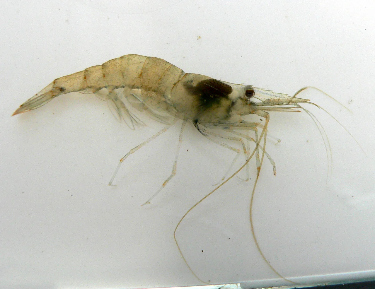
The saline lagoons nearest the shingle bank hold rare invertebrates: starlet sea anemones, lagoon sand shrimps and Atlantic ditch shrimps among them. The shingle ridge itself supports biting stonecrop, yellow-horned poppy, sea campion and sea thrift. Brown hares run openly across the grazing marsh. European otters leave their spraints at the southern end of East Bank often enough that regular visitors know where to look. The reserve generates the equivalent of 52 full-time jobs in the Cley area from the £2.45 million spent annually by its visitors.
The Long Argument with the Sea
The mathematics of Cley Marshes are uncomfortable. The shingle spit at Blakeney Point that shelters the reserve has sometimes been breached by storms and turned temporarily into an island. A chapel at Blakeney, just west of the reserve, stood 400 metres from the sea in 1817; by the end of the 20th century that distance had reduced to 195 metres. The River Glaven's channel becomes blocked more frequently as the shingle advances, causing flooding of the reserve and the village.
The Environment Agency and the Norfolk Wildlife Trust have been working since 2010 on a Hilgay Wetland Creation Project — converting 60 hectares of former farmland inland to a variety of wetland habitats. This is the first stage of a plan to create a roughly 10,000-hectare living landscape in the Wissey area. The calculation is that the coastal reedbeds at Cley will eventually be lost to saltwater as the shingle advance continues. New marshland will replace what is taken. Dr Long bought his reserve to protect it from drainage and development; now the plan is to let the sea take it, and to build somewhere new in its place.
From the Air
Located at 52.96°N, 1.06°E on the North Norfolk coast, 6 km north of Holt. From altitude, the reserve is clearly visible as reed beds and lagoons behind the shingle ridge, with the village of Cley next the Sea to the west. The visitor centre sits on a small hill south of the A149. Norwich International Airport (EGSH) is approximately 40 km to the southeast. The shingle spit extending toward Blakeney Point is a useful navigation landmark at 2,000 ft.
Nearby Stories
- Castle Acre Castle and Town Walls 3.5 km away
- Brancaster 5.8 km away
- City of Norwich Aviation Museum 6.8 km away
- HMS Cobra 21 km away
- Alford Windmill 35 km away
- Battle of Lowestoft 83 km away
- SM U-97 95 km away
- Battle off Texel 119 km away