Bunaken
Seventy percent. That is the share of all fish species in the Indo-Western Pacific Ocean that swim through a single marine park barely larger than some cities. Bunaken National Marine Park, a 890-square-kilometer arc of islands off the northern tip of Sulawesi, Indonesia, concentrates more marine biodiversity into its warm equatorial waters than most countries possess along their entire coastlines. The number sounds implausible until you drop below the surface, where the coral walls begin their vertical descent into darkness and every square meter seems to pulse with a different species.
The park was established in 1991, but the reef has been building itself for millennia. Six islands anchor the protected zone: banana-shaped Bunaken itself, the cone of Manado Tua - an extinct volcano that rises like a sentinel from the sea - and the smaller isles of Siladen, Mantehage, Nain, and Nain Kecil. Together they shelter an underwater world that divers cross the globe to witness.
The Walls That Drop to Midnight
Bunaken's signature dive sites are its walls - sheer coral cliffs that plunge from the shallows into water exceeding 1,500 meters deep. The effect is vertiginous. One moment you are hovering above a reef top thick with anemones and clownfish; the next you are staring down a precipice that fades from turquoise to cobalt to a blue so deep it becomes black. Bunaken Timur, off the island's east coast, is rated by many as the single best dive site in all of Indonesia. During the dry season from May to October, visibility routinely reaches 35 meters, turning the walls into underwater canyons of impossible clarity.
The currents that sweep along these walls carry nutrients from the deep, feeding at least 70 genera of coral. Five species of sea turtle patrol the reef. White tip and black tip reef sharks cruise the drop-offs, and barracuda materialize from the blue in silver flashes. Resident dugongs graze the sea grass beds in the shallows, improbably gentle mammals that look like they wandered in from another geological era. Occasionally, a saltwater crocodile - the ocean's most fearsome reptile - drifts near the mangroves, a reminder that Bunaken's waters hold every kind of life the tropics can produce.
An Island One Degree from the Equator
Barely a degree above the equator, Bunaken is tropical in the truest sense. Temperatures climb to a roasting 35 degrees Celsius during the dry season, and even the wet months from November to mid-April rarely bring anything resembling cold. Storms can last for days during the monsoon, dimming the underwater visibility that defines the park, but the island receives less rain than the Sulawesi mainland - a geographic quirk that keeps conditions pleasant when the continent is drowning.
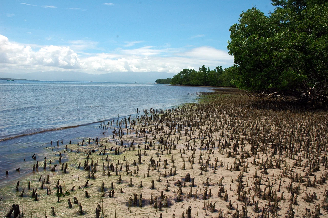
Above the waterline, Bunaken is modest. Pathways connect scattered villages, many of them impassable after rain. Ojeks - motorcycle taxis - are the motorized transport option, though visitors are encouraged to walk. The coastline itself is unreliable footing: at high tide the beach simply vanishes, and walkers find themselves against the sea wall with nowhere to go. The main village fronts a sandy beach that happens to sit above some of the best snorkeling in the park, a convenience that makes Bunaken feel almost absurdly generous.
Twenty Thousand Lives on the Reef
Some 20,000 people make their living from the waters inside Bunaken National Marine Park, and that number tells a more complicated story than the biodiversity statistics. Fishing communities predate the park designation by generations. When the government drew conservation boundaries in 1991, it enclosed not just coral and fish but entire livelihoods - families who had set nets in these waters long before anyone came to photograph the sea turtles.
The tension is real but the cooperation has been remarkable. A multi-stakeholder management board, including government officials, conservation groups, business owners, and representatives of the local communities, governs the park. Together, they have stopped cyanide fishing and dynamite fishing - two practices that were devastating reefs across Indonesia. In one notable operation, the board and water police participated in the release of 700 Napoleon wrasse that had been illegally caught in and around the park. Many conservation experts now cite Bunaken as a model for how Indonesia should manage its marine treasures: not by excluding people but by making them partners in preservation.
Cap Tikus and Coral Sand
There is no natural potable water on Bunaken. Every glass of drinking water arrives by boat or by rain collection, a fact that shapes daily life more than any guidebook suggests. The local spirit Cap Tikus - literally "rat brand," a name that does nothing for its marketing - is a distilled palm wine that turns out to be surprisingly smooth over ice with a slice of lemon. Bintang beer flows cold at beach bars, and the village restaurants serve nasi campur and bakso alongside whatever the fishermen brought in that morning.
Accommodations range from bare-bones homestays where the toilet is a squat and the shower is a bucket to resorts with full-board diving packages and buffet meals of fish and rice. The south and west coasts have strips of coarse yellow sand, while the eastern shore is a puzzle of mangroves and small beaches. Whichever side you choose, the reef is never more than 40 meters from shore. Kayaks, rented from two shops near the village church, remain the safest way to explore the snorkeling spots - when the current shifts suddenly, as it does, climbing onto a kayak beats fighting the water.
From the Air
Located at 1.62°N, 124.77°E, Bunaken Island sits approximately 8km off the northwest coast of Sulawesi in the Celebes Sea. From altitude, the banana-shaped island is easy to spot against deep blue water, with the distinctive volcanic cone of Manado Tua Island (approximately 822m) rising immediately to its southwest. Sam Ratulangi International Airport (WAMM/MDC) in Manado is the nearest major airport, located approximately 30km to the east on the Sulawesi mainland. The marine park boundary encompasses 890 square kilometers of ocean including six islands. During the dry season (May-October), water clarity is exceptional, and reef structures may be visible from low altitude as lighter patches against the deep blue. The equatorial location means consistent tropical weather year-round, with afternoon convective buildup common. Approach Manado from the north or east for the best views of the island chain.
Nearby Stories
- Tangkoko Batuangus Nature Reserve 17 km away
- Tomohon 23 km away
- Mount Ruang 47 km away
- Siau Island 122 km away
- Gorontalo 148 km away
- Otanaha Fortress 174 km away
- The Sea That Swallows Itself 205 km away
- Indonesia-Malaysia Border 533 km away