Siau Island
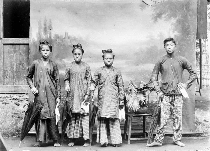
Somewhere around 1579, Francis Drake sailed past an island in the Celebes Sea during his circumnavigation of the globe and thought it worth noting. The island was Siau, a 160-square-kilometer volcanic speck in the Sangir Archipelago, 130 kilometers off the northern tip of Sulawesi. Drake moved on. The people of Siau stayed. They had been staying for a very long time already. A kingdom was established here in 1510, and its dynasty would endure for more than four centuries, outlasting the Portuguese, the Spanish, the Dutch, the Japanese, and colonial rule itself before dissolving in 1956.
The Kingdom That Endured
The Kingdom of Siau was founded in 1510 by Lokongbanua II, who established his seat at Paseng. From there, successive rulers navigated a volatile regional landscape. Siau sat at the intersection of trade networks linking Sulawesi, the Maluku Islands, and the southern Philippines. Local rajahs maintained relationships with the powerful Sultanates of Ternate and Tidore, balancing diplomacy and tribute in a region where spices meant wealth and wealth meant conflict. The Portuguese arrived in the sixteenth century, drawn by the same trade routes. The Spanish followed, then the Dutch East India Company, which during the seventeenth century sought to consolidate control over the Sangihe Islands as part of its broader campaign to monopolize eastern Indonesian commerce. Through it all, the Kingdom of Siau adapted, persisted, and kept its throne occupied.
Under Foreign Flags
European colonization came in layers. Portuguese missionaries established a Christian presence that took root deeply enough to survive subsequent colonial handovers. The Dutch formalized their control in the nineteenth century, incorporating Siau into the Dutch East Indies administrative apparatus. In 1677, the Sultanate of Ternate conquered Siau, an event dramatic enough to be recorded in colonial accounts. The island changed hands, absorbed new authorities, and maintained its identity underneath. When Indonesia declared independence in 1945, Siau's integration into the new republic was relatively smooth. The Kingdom of Siau formally dissolved in 1956 with the death of its last monarch, ending a dynasty that had governed for 446 years.
An Island Built by Fire
Siau's northern half is dominated by Karangetang, one of the most active volcanoes in Indonesia, which has erupted 41 times since 1675. The volcano rises to 1,827 meters, the tallest peak in offshore North Sulawesi, and its presence shapes everything about island life: the fertile volcanic soil that makes agriculture productive, the evacuation plans that every household understands, the periodic ashfalls that coat villages in gray. The population has grown despite the volcanic risk, reaching an estimated 45,349 in mid 2024. Towns like Ulu Siau and villages including Ondong, Lehi, Paniki, and Korakora cluster along the coast, positioned where the slopes flatten enough to build but close enough to the water for evacuation by boat when the mountain demands it.
The Tarsier's Last Island
Siau is home to the Siau Island tarsier, a tiny nocturnal primate found nowhere else on Earth. Critically endangered, this subspecies clings to survival in the island's remaining forest patches, hunting insects with oversized eyes adapted for total darkness. The tarsier's existence on Siau is precarious. Forest clearance for agriculture, volcanic disturbance, and hunting pressure have all reduced its habitat. Conservation efforts face the same challenge that defines life on every small Indonesian island: balancing the needs of a dense human population against the survival of species that have no other home. The tarsier cannot evacuate to Manado when the volcano erupts. It has to endure.
Cloves, Coconuts, and the Sea
The economy of Siau follows the rhythms of agriculture and fishing, shaped by volcanic soil and tropical waters. Cloves and coconuts are the primary cash crops, thriving in the rich volcanic earth that Karangetang has deposited over centuries. The six administrative districts of the Sitaro Islands Regency govern an island where life is intensely local: markets in Ulu Siau trade goods produced within sight of the town, and fishing boats return to the same harbors they have used for generations. Tourism has not yet transformed Siau the way it has transformed Bunaken or Bitung. The island remains largely what it has been since Lokongbanua II established his kingdom five centuries ago: a place where people live alongside a volcano because the alternative is to have no home at all.
From the Air
Located at 2.730N, 125.383E in the Sangir Archipelago, Celebes Sea, approximately 130 km north of Sulawesi. The island is dominated by the conical peak of Karangetang volcano (1,827 m). CAUTION: Active volcano with frequent eruptions; check NOTAMs for ash advisories. Sam Ratulangi International Airport (ICAO: WAMM) in Manado is approximately 170 km to the south-southwest. Ruang volcano is visible to the south, Sangihe Island to the north. The island is accessible primarily by sea. Expect tropical maritime weather with orographic cloud buildup around the volcanic peak.
Nearby Stories
- Mount Ruang 18 km away
- Sangihe Islands 19 km away
- Bunaken National Park 90 km away
- Bunaken 123 km away
- USS Shark (SS-174) 174 km away
- Japanese Minelayer Tsugaru 237 km away
- 1913 Sulawesi-Mindanao Earthquake 284 km away
- Basilan 503 km away