Calipatria, California
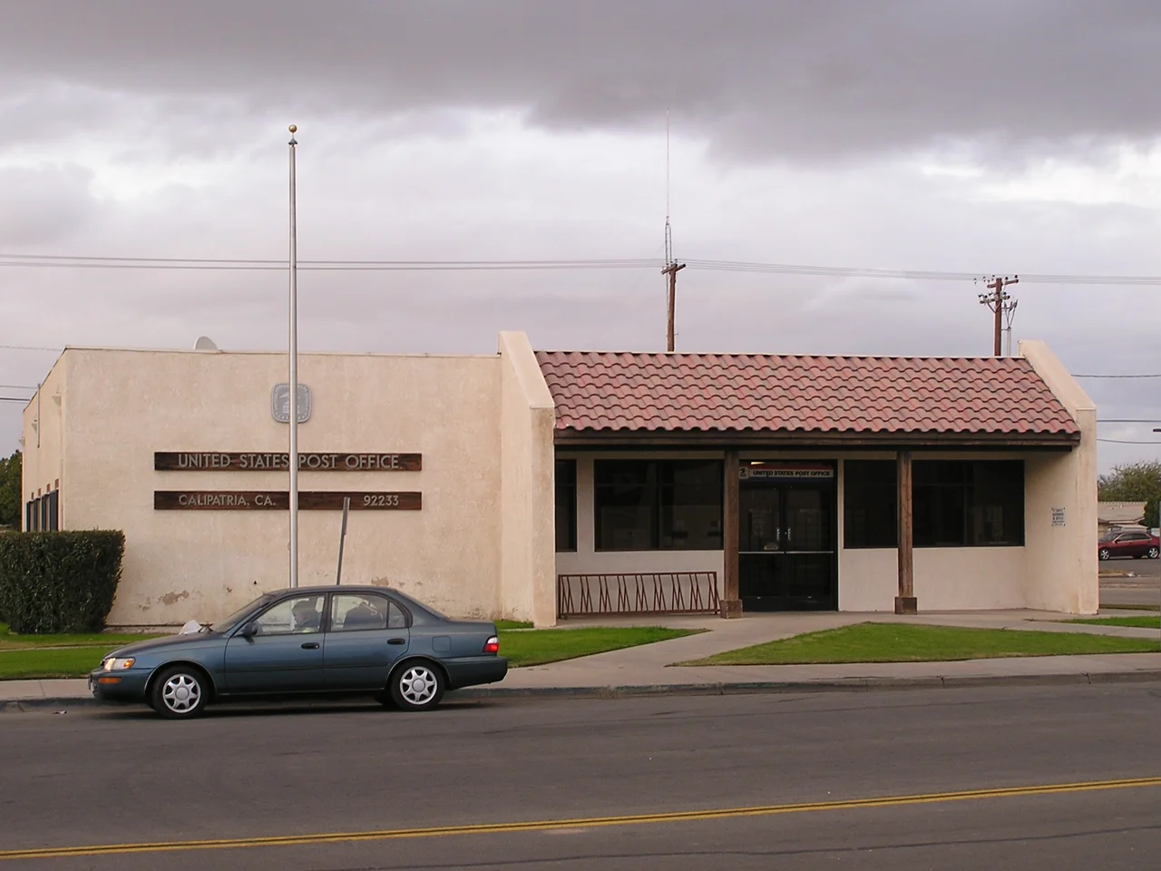
Calipatria does not advertise itself. The city of roughly 6,500 people sits in the agricultural flatlands of Imperial County, incorporated in 1919 and named with one of those cheerful California portmanteau words — California and patria, homeland — that belong to a more optimistic era. At 180 feet below sea level, it holds the distinction of being the lowest incorporated city in the Western Hemisphere. The local flagpole, 184 feet tall, is said to be the only one in the country whose top is at sea level. These are the kinds of facts a town leads with when the landscape itself offers limited promotional material.
Below the Surface
Being below sea level in the Imperial Valley means existing inside the Salton Trough, the geological pull-apart basin where the Pacific and North American tectonic plates are slowly separating. The flat terrain around Calipatria was shaped by ancient Colorado River deposits, the same sedimentary layers that make the Imperial Valley's soil extraordinarily productive when water is available. The All-American Canal delivers Colorado River water to the valley's farms, and the result is one of the most intensively cultivated patches of desert in North America. Alfalfa, vegetables, and date palms grow in fields that extend right to the edge of town. The freight runs on Union Pacific Railroad's Calexico Subdivision, which threads through Calipatria carrying the agricultural output of the valley south and west to markets.
A Town in the Census
The 2020 census counted 6,515 people in Calipatria, a number that comes with a notable footnote: 44.6 percent of the population was classified as institutionalized. The reason is straightforward — Calipatria State Prison sits just north of town, and a second state correctional facility, the California Substance Abuse Treatment Facility and State Prison at Corcoran, lies within the broader regional context. The gender ratio of 250.1 males per 100 females reflects the same reality. Prison towns throughout California carry this demographic signature, where the facility that provides the most stable employment also distorts every statistical portrait of the community. The actual civilian population of Calipatria is considerably smaller than the headline number suggests.
Salvation Mountain and Slab City
East of Calipatria, in the general direction of the Chocolate Mountains, lies a stretch of Sonoran Desert that has become one of Southern California's stranger cultural landscapes. Salvation Mountain — the enormous art installation built from adobe, tires, and thousands of gallons of paint by Leonard Knight — sits a few miles from the unincorporated community of Slab City, which occupies the concrete slabs left behind when the military abandoned Camp Dunlap after World War II. Slab City operates entirely off the grid, without municipal water, electricity, or law enforcement, populated by a mix of seasonal retirees in recreational vehicles, permanent residents who prefer life outside conventional systems, and artists drawn by the community's radical self-sufficiency. For Calipatria, these neighbors define an eccentric regional identity that the city itself does not quite share.
Desert Heat and Desert Light
Summers in Calipatria reach temperatures that regularly exceed 110 degrees Fahrenheit, and the surrounding landscape offers little relief — flat agricultural fields and salt flats stretching to the distant mountains. In winter, the valley turns cool and productive, with mild days that draw migratory birds to the Salton Sea's shores just to the northwest. The city sits close enough to the wildlife refuge to see the pelican migrations and close enough to the prison to see the guard towers. This proximity — to wilderness, to confinement, to extraordinary agricultural abundance in a seemingly inhospitable desert — captures something essential about the Imperial Valley's character. Things that seem incompatible coexist here, sometimes uneasily, sometimes not.
From the Air
Calipatria lies at approximately 33.126°N, 115.514°W in the flat agricultural lowlands of Imperial County. The city is visible from altitude as a small settled area surrounded by the grid pattern of irrigated fields. The Salton Sea is visible roughly 10 miles to the northwest. Imperial County Airport (IPL) is approximately 8 miles to the south near El Centro.
Nearby Stories
- 1915 Imperial Valley Earthquakes 8 km away
- Coyote Mountains 8.5 km away
- Ocotillo Wells, California 11 km away
- Chocolate Mountains 12 km away
- Whitewater River 13 km away
- Old Plank Road 20 km away
- Felicity, California 47 km away
- Poston War Relocation Center 84 km away