Crateús
On January 15, 1926, the Prestes Column marched into Crateús and met resistance. Everywhere else the column passed, the towns either welcomed them or let them pass. Here, in this dusty railway town in the Ceará interior, the city's legalist forces chose to fight. Combat erupted around the Railway Station building in Gentil Cardoso Square, spread to the Church Square, and reached its deadliest intensity on Padre Macedo Street - still known locally as Pimenta Street, or Pepper Street. By the end, two of Prestes's men lay dead, and Crateús had earned a place in Brazilian military history that no other Ceará town can claim.
Capital of the West
Crateús calls itself the Capital of the West. It is not the biggest city in Ceará, but it is one of the oldest and most strategic. Around 75,000 people live here, in a valley cut by the Poti River where the Serra da Ibiapaba meets the Serra Grande. That geography is the whole story. The Poti River canyon, the boqueirão, punches a natural gap between the two highland walls that separate Ceará from Piauí. For three centuries, anyone moving between the two states - cattle drovers, merchants, bandeirantes, railway engineers - came through Crateús. The city grew rich on that traffic. Today, family farms in the surrounding valleys still produce corn and beans that stock the regional markets, and a Brazilian Army unit keeps watch over the frontier town.
The Karatiú Before
The name Crateús traces to Tupi or Tapuia roots. One reading makes it cará (potato) plus teú (lizard). Another comes from the Kariri language: kará (fish), te (land), ús (people). A third derivation points to karatiús or karatís - the name of an indigenous group that lived in the region before the Portuguese arrived. All three possibilities leave the same shadow on the city's name: the people who were already here when Dona Ávila Pereira bought the valley in 1721 for four thousand cruzados and renamed it Fazenda Piranhas. The Tabajara, Potyguara, Calabaça, Kariri, and Tupinambá all moved through this landscape. Quilombos - communities of escaped enslaved people - formed nearby, notably at Queimadas. The ethnic layering of modern Crateús traces directly to that older geography.
Niemeyer in the Backlands
Oscar Niemeyer was 98 years old when the Prestes Column monument in Crateús was inaugurated on January 14, 2006 - the 80th anniversary of the fighting. The architect had offered his design, free of charge, to any Brazilian city the column had passed through. Crateús was the fourth to take him up on it. The monument stands 13.5 meters tall, a characteristically Niemeyer gesture - curves and concrete, lifted off the ground, reading the sky. It is the only work by Niemeyer anywhere in the interior of the Northeast, which is why architecture tourists now add Crateús to itineraries that otherwise would have sent them straight to Brasília. In 2026, the city plans to mark the centennial of the column's passage. Local artist Raimundo Soares de Sousa has sculpted a commemorative piece that he hopes will be placed at the Cemetery of the Rebels, where Cabo Antonino Cabeleira and Tenente Tarquínio - the two column members who died in the fighting - are buried.
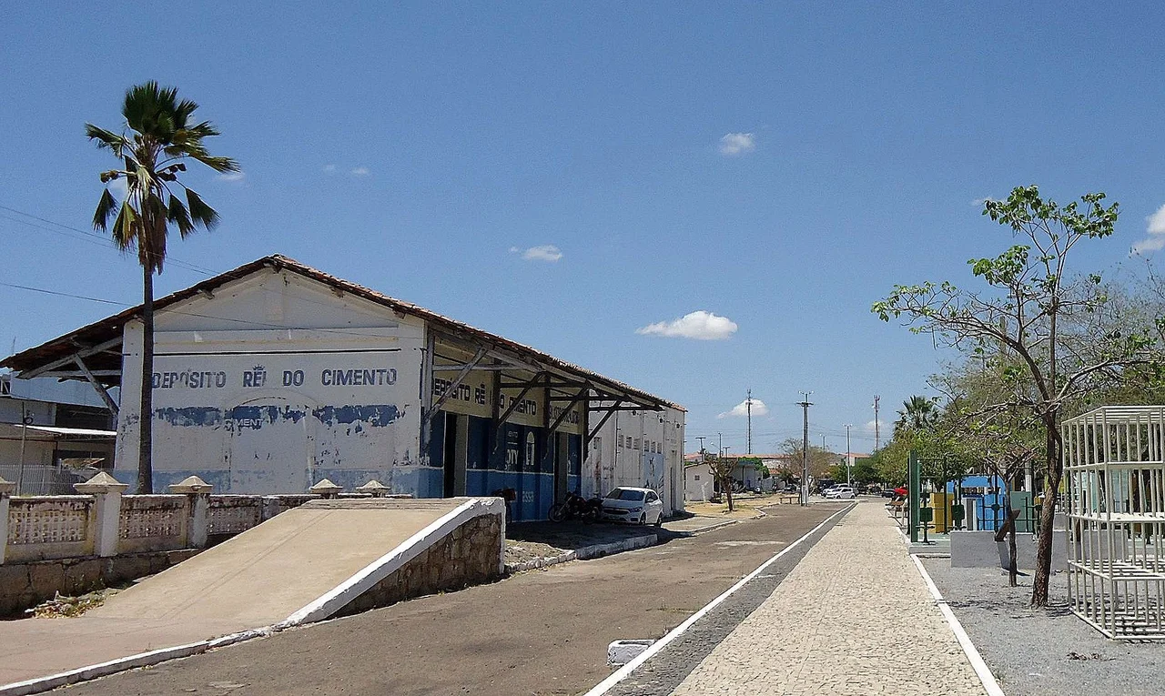
Rail, Drought, and the Serra das Almas
The railroad reached Crateús in 1911, cutting through from Sobral and pushing on into Piauí. Two train stations opened in 1912 - Crateús and Sucesso - followed by stops at Poti in 1916, Ibiapaba in 1918, Oiticica in 1932. Most of those stations are shuttered now, but the Armazém Ferroviário in Crateús still stands, a brick warehouse that has outlived the trains it served. Outside the city, the Serra das Almas Private Natural Heritage Reserve preserves 6,137 hectares of caatinga - the thorny, drought-adapted scrub forest that defines so much of the Ceará interior. It is a small patch against a vast land that has always tested its people. Crateús, for all its railway wealth and Niemeyer monument, still sits in the sertão. When the rain fails, that is what everyone remembers first.
From the Air
Located at 5.18°S, 40.68°W in northwestern Ceará, in the Poti River valley where Serra Grande meets Serra da Ibiapaba. Elevation around 275 meters. Population roughly 75,000. Served by Dr. Lúcio Lima Airport for regional flights. For larger aircraft, Fortaleza Pinto Martins (SBFZ) lies about 350 km east; Teresina (SBTE) lies about 220 km west. Best viewing altitude FL150-FL250 to see the canyon and the gap between the two ranges. Weather: semi-arid, rainy season January-May, otherwise dry and hot.
Nearby Stories
- Ceará 86 km away
- Serra da Ibiapaba Environmental Protection Area 99 km away
- Ubajara National Park 133 km away
- Redenção, Ceará 168 km away
- Castanhão Ecological Station 176 km away
- Teresina 187 km away
- Castanhão Dam 239 km away
- Mirador State Park 467 km away