Department of Tumbes
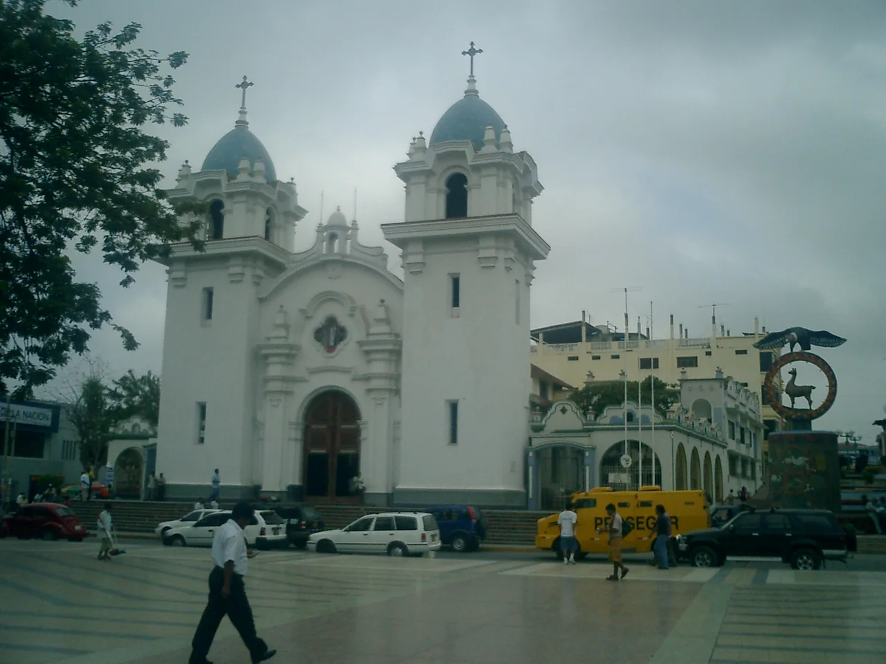
In 1863, workers drilled South America's first commercial oil well in a fishing village on the north coast of Peru. They hit petroleum, the village grew into a town, and the locals named it for the workers - Zorritos, the little foxes. A century and a half later, Zorritos still sits on the coast of the Department of Tumbes, the smallest of Peru's twenty-four departments, a sliver of territory sandwiched between Ecuador and the Pacific. Tumbes punches far above its size. It holds among the southernmost mangroves on the Pacific coast of South America, the only coastal tropical forests in Peru, and the black scallops whose ceviche is the region's most famous dish.
The Name's Three Possibilities
No one is quite sure where the department got its name. There are three candidates. The first is Tumpis, the pre-Inca indigenous group who inhabited the region for centuries before anyone wrote any of this down. The second is tumbos, a species of Passiflora - passionflower - that used to grow abundantly here before the forests were cleared. The third is the Tumba cacique, a local chieftain whose son is said to have founded and populated the area. The uncertainty itself is telling. When Francisco Pizarro arrived on the northern Peruvian coast in 1532, Tumbes was already old. The first settlers were fishers and hunters; the cultures that followed them left ceramics refined enough to rival any made elsewhere on the coast and huacas - sacred mounds and ruins - that still stand. The Inca Empire integrated the region during the reign of Pachacuti in the fifteenth century and continued the absorption under Tupac Inca Yupanqui and Huayna Capac. The Spanish came through and kept going.
Crossing Point
For most of its colonial history, Tumbes was nobody's destination. It was a crossing point, a place where Spanish soldiers and adventurers paused to restock before continuing south to Lima or north to Quito. The region's small size and position on the border kept it peripheral - a transit stop rather than a capital. This changed after independence. Peru's long-running territorial dispute with Ecuador over the Loreto Region in the Amazon basin meant that Tumbes, wedged directly against the Ecuadorian frontier, became a front line. During the Ecuadorian-Peruvian War, Tumbes served as a resistance point in some of the war's episodes. The consequence came in 1942: the territory was upgraded from a province to a full department of Peru, its peripheral status finally elevated to administrative recognition. In 2005, voters in the region firmly rejected a national referendum that would have merged Tumbes with Piura and Lambayeque into a single Northern Region. They preferred autonomy.
The Mangroves at Puerto Pizarro
North of the city of Tumbes, the land gives way to one of the most important mangrove ecosystems on the Pacific coast of South America. The Manglares de Tumbes National Sanctuary protects one of the southernmost stands of mangroves on this side of the continent - beyond a small enclave in Piura to the south, the Pacific coast of South America grows too cold and dry to support them. The mangroves form a living maze at the boundary of salt and fresh water, their twisted roots creating nurseries for fish, crustaceans, and the famous black scallops that are the region's culinary signature. Around fifty percent of Tumbes department is protected within three natural areas: the Manglares Sanctuary, the Cerros de Amotape National Park, and the Tumbes Reserved Zone. This is a remarkable density for a department that is also Peru's most densely populated after La Libertad and Lambayeque. The protected lands include the Tumbes-Piura dry forests - the only coastal tropical forest ecosystems in the country.
Black Scallop Ceviche
The defining dish of Tumbes cuisine is cebiche de conchas negras - black scallop ceviche. The scallops come from the mangroves: harvested by shellfish divers who work the mud of the Manglares de Tumbes at low tide, pulling up the dark shells that give the dish its color. The meat is deeper and richer than standard Pacific scallops, with a distinctive mineral note from the mangrove waters. The ceviche uses lime, chili, cilantro, and onion, served cold with the leche de tigre - the lime-and-pepper liquid - pooling in the bowl. Beyond conchas negras, Tumbesino cuisine runs through shrimp omelettes, chupe de cangrejos (crab chowder), Tumbiresas (meat dumplings in a complex spiced broth of yuca and plantain), and cebiche mixto. The regional drink is chinguirito - the milk of a young coconut, called pipa, mixed with pisco, the grape brandy of Peru and Chile. The result is sweet, potent, and cold enough to drink in the tropical afternoon.
Four Zones
Despite its small area - second-smallest region in Peru - Tumbes contains four distinct geographic zones. Morphologists divide it as follows: the delta of the Tumbes and Zarumilla rivers, where the water meets the sea; the alluvial plain north of the Tumbes River with its dry, low-depth ravines; the ancient terraces near Mancora that have been strongly eroded over time; and the Amotape mountain range rising to El Barco Mountain in the east and south. The Tumbes river delta runs shallow, and at low tide little sandy keys emerge from the water, each covered in mangrove vegetation. The beaches of Punta Sal, with their white sands and warm year-round sea, count among the finest on the Peruvian coast. The Bocapan beach near Zorritos gives bathers access to Hervideros - natural hot springs rich in iodized salts that bubble up through the sand. Not far from here the demographic history runs mestizo - a blend of the pre-Incan Tumpis and Tallanes tribes with Spanish, African, and a small Cantonese Chinese community whose presence traces back to nineteenth-century migration.
Ecuador, Six Kilometers North
The border with Ecuador sits near the town of Zarumilla. From Tumbes city to the Ecuadorian line is a short drive, and the crossing at Aguas Verdes-Huaquillas handles most of the traffic between the two countries. Tumbes serves as the arrival point for travelers coming from Ecuador into Peru and the departure point for those going the other way. This gives the region a character distinct from the rest of the Peruvian coast: a border economy, a steady traffic of people moving between nations, a cuisine that reflects the proximity of Ecuadorian coastal cooking. The Ecuadorian-Peruvian border here has been formally settled since the 1998 peace accord, but the histories of the two countries remain tangled on the ground, in the mangroves that do not recognize national lines and in the dialect of Spanish that sounds nearly identical on either side of the crossing.
From the Air
Tumbes at 3.88 S, 80.59 W, Peru's smallest and northernmost department. Capital Aeropuerto Internacional Capitan FAP Pedro Canga Rodriguez (SPME/TBP) in Tumbes city. Coast runs north to Ecuadorian border at Aguas Verdes. Mangrove sanctuary visible from altitude as intricate water-and-vegetation pattern at river mouth. Cerros de Amotape National Park distinctive dry forest uplands to the south. Approach from Ecuador or Guayaquil crosses the border near sea level; minimal terrain challenges but coastal weather varies with El Nino cycles. Punta Sal white sands unmistakable from the air.
Nearby Stories
- Cabo Blanco, Peru 4.5 km away
- Alamor 17 km away
- Tumbes 29 km away
- El Oro Province 44 km away
- Poechos Reservoir 54 km away
- Ayabaca province 67 km away
- Talara Refinery 70 km away
- Malpelo Plate 770 km away